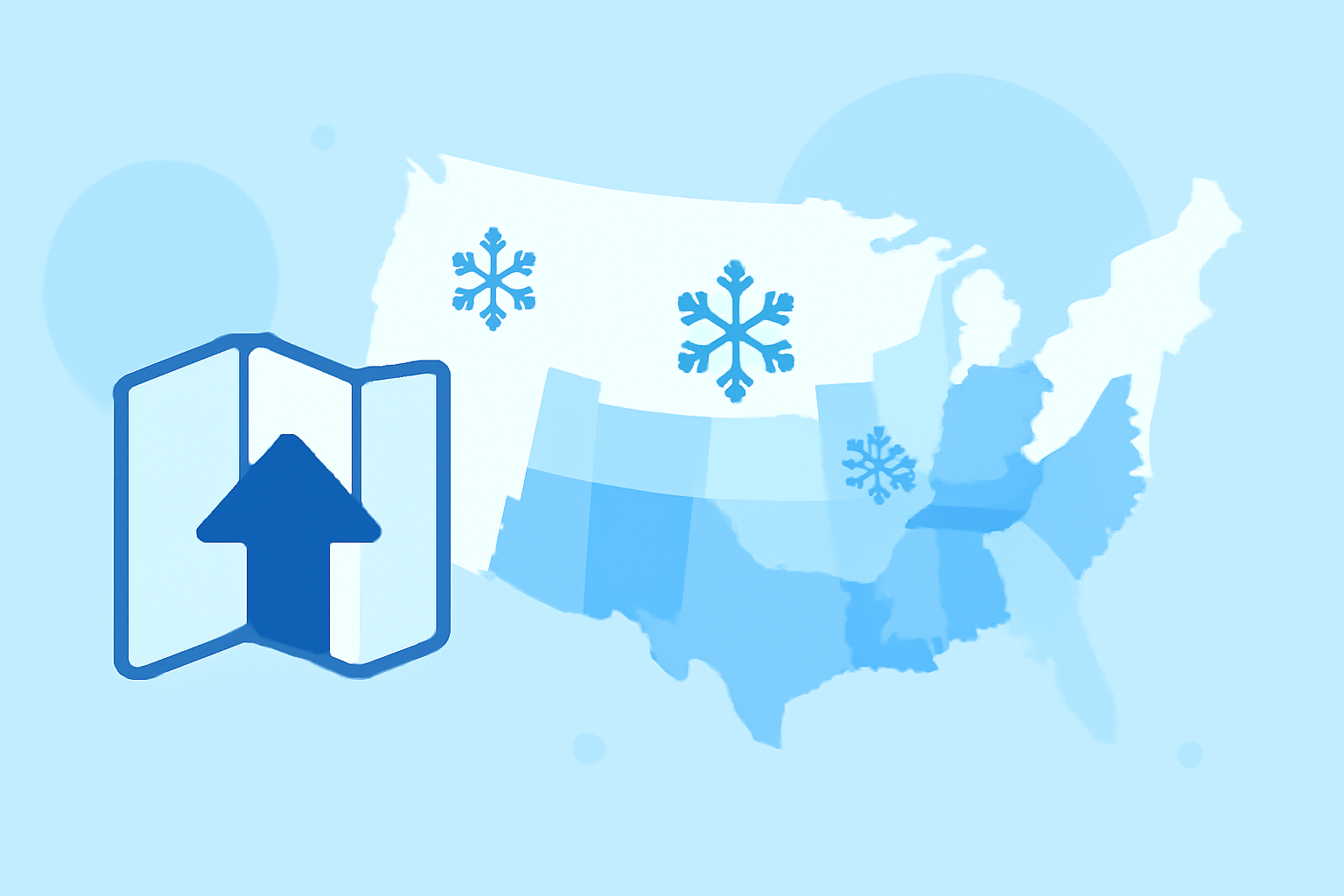
Essential Snow Rate Maps for Travelers in the United States
Traveling during winter months requires careful planning, especially when snow conditions can significantly impact your journey. Accessing accurate and timely snow rate maps is crucial for ensuring safety and efficiency. Here are some of the most reliable sources for real-time snow rate maps in the United States:
1. National Operational Hydrologic Remote Sensing Center (NOHRSC)
The NOHRSC provides comprehensive snow analyses, including snow depth, snow water equivalent, and snowpack temperatures. Their National Snow Analyses offer detailed, up-to-date information on snow conditions across the U.S. (drought.gov)
2. National Resources Conservation Service (NRCS) SNOTEL and Snow Course Data
The NRCS operates the SNOTEL network, which offers real-time data on snow water equivalent, snow depth, and snow density. Their interactive maps allow users to view current snow conditions across various states. (drought.gov)
3. NOAA's Snow and Ice Cover Map Viewer
NOAA's Climate.gov provides an interactive map viewer that displays daily snow and ice cover across the Northern Hemisphere. This tool is valuable for understanding broader snow patterns and their potential impact on travel plans. (climate.gov)
4. SnowForecast's SnowMaps
SnowForecast offers satellite-derived snowpack information, including snow depth and change rates. Their SnowMaps provide a visual representation of current snow conditions, aiding travelers in making informed decisions. (snowforecast.com)
5. Drought.gov's Snow Cover Maps
Drought.gov provides snow cover maps produced by the U.S. National Ice Center, depicting the extent of daily snow and ice coverage in the Northern Hemisphere. These maps are useful for understanding large-scale snow patterns and their potential impact on travel. (drought.gov)
6. iWeatherNet's Snow Accumulation Maps
iWeatherNet offers high-resolution maps of accumulated snowfall, updated several times a day for the United States and much of Canada. Their interactive map provides detailed snow cover statistics, including snow depth and snow water equivalent. (iweathernet.com)
7. Snotel.Info
Snotel.Info provides access to NRCS SNOTEL data, offering current snow depth, snow water equivalent, and snow density information. Their interactive maps allow users to select specific states and view detailed snow conditions. (snotel.info)
8. USMaps.com's US Snowfall Map
USMaps.com offers a snowfall map that breaks down how many days different states stay blanketed in snow. This map reveals the variability of snowfall across the U.S., helping travelers understand regional differences in snow coverage. (usmaps.com)
9. NOAA's Climate Data Mapper
NOAA's Climate Data Mapper is an interactive tool that visualizes climate data, including snow cover, across the United States. This tool allows users to explore historical and current snow conditions, aiding in travel planning. (climate.gov)
10. NOAA's Snow and Water Interactive Map
NOAA's Snow and Water Interactive Map provides real-time and historical snow and climate data, including snow water equivalent and snow depth. This tool is designed to assist farmers, researchers, policymakers, and water management professionals but is also valuable for travelers seeking detailed snow information. (nrcs.usda.gov)
By utilizing these resources, travelers can access accurate and timely snow rate maps, ensuring safer and more efficient winter journeys across the United States.