Essential Weather Apps for Cruise Planning on iPhone
Embarking on a cruise requires meticulous planning, and understanding the weather is paramount. With the right tools, you can anticipate conditions, ensuring a safe and enjoyable journey. Here are some top-rated weather apps for iPhone users:
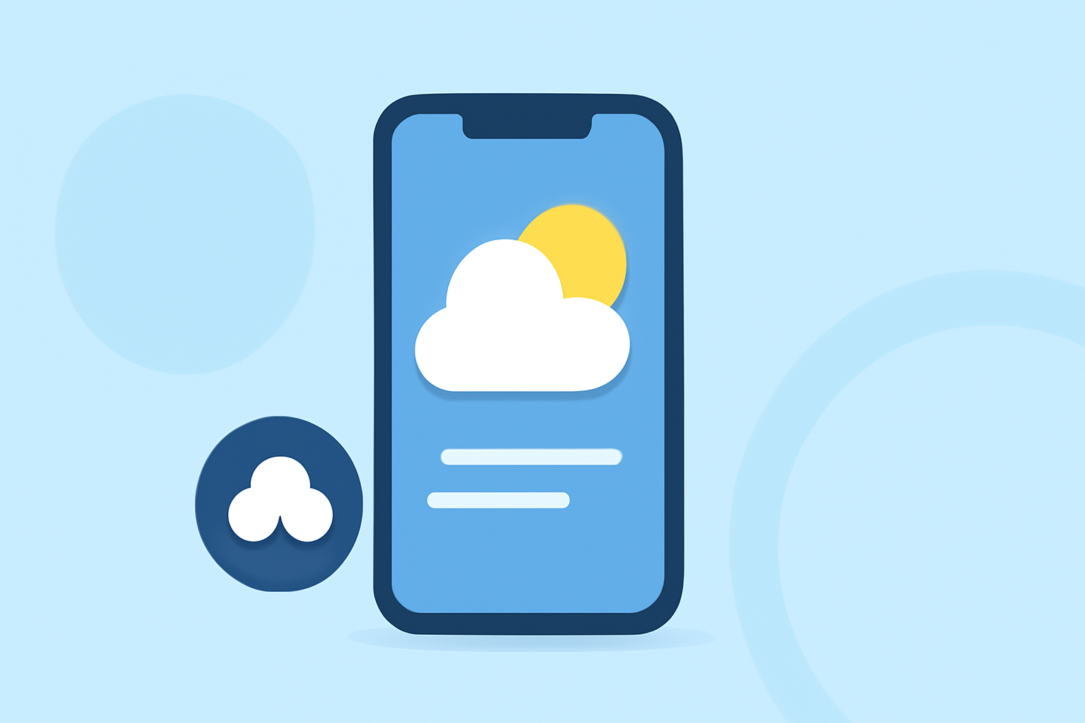
1. Clime: Your Comprehensive Weather Companion
Clime offers real-time marine weather data directly from NOAA buoys, including wave heights, wind conditions, water temperatures, and live buoy camera feeds. Its interactive map allows users to locate nearby buoys and access detailed station information. The app's user-friendly design ensures quick access to essential marine weather metrics. (climeradar.com)
2. Windy: Visualize Weather Patterns
Windy provides high-resolution interactive maps with numerous forecast models, including GFS, ECMWF, and ICON. Users can layer wind, precipitation, waves, temperature, and clouds to see complete weather pictures. Its intuitive interface makes it easy to plan your trip. (boatingworld.com)
3. Windy.app: Tailored for Water Sports
Built specifically for water and wind sports, Windy.app offers spot forecasts, tide charts, wind alerts, and a community feed with local observations. This community feature is particularly helpful in finding up-to-the-minute local reports and tide times. (discoverboating.com)
4. PredictWind: Advanced Forecasting
PredictWind provides high-resolution weather forecast charts, including wind, rain, temperature, wave height, direction, and period. It offers four different forecast models to ensure the information’s accuracy. Its advanced route planning allows you to compare the forecasted performance of multiple routes based on the latest weather conditions. (boatingworld.com)
5. MyRadar NOAA Weather Radar
MyRadar offers real-time marine weather information with radar imagery, rain forecasts, and hurricane tracking. It also includes METAR data and marine weather warnings issued by NOAA. The app allows you to customize the display, focusing only on the information you need—including tide charts, water temperature, and wave heights. (boatingworld.com)
6. Weather4D: Professional-Grade Routing
Weather4D lets you choose between different weather models and download GRIB files, ensuring you get accurate forecasts throughout your voyage. You can also customize the interface by selecting your preferred forecast parameters and display settings. This app is an excellent tool for route planning, as it provides useful information on currents, tidal coefficients, and the arrival time for desired locations. (boatingworld.com)
7. Buoyweather: Offshore Forecasts
Buoyweather provides point-based marine forecasts tailored for offshore locations with wind, swell, and tide breakdowns. It's a longtime favorite among anglers and offshore boaters seeking clear wind and wave guidance for specific GPS points. (discoverboating.com)
8. iNavX: Comprehensive Navigation
iNavX is a full-featured navigation app with marine weather overlays, including GRIB file support, wind speed and direction, wave height, and sea surface temperature. The app integrates with various chartplotters like NOAA, Navionics, and Blue Latitude, making it a versatile option for different users. (boatingworld.com)
9. SailFlow: Localized Forecasts
SailFlow provides localized weather forecasts for sailors and surfers, using over 50,000 weather stations worldwide. The app offers wind, wave, and weather data, including real-time observations and forecasts. It also includes satellite weather imagery, giving you the tools to analyze weather patterns and stay ahead of severe conditions. (boatingworld.com)
10. My Hurricane Tracker: Stay Informed
My Hurricane Tracker pulls official data and graphical products from the National Hurricane Center. It includes interactive features and historical storm data dating back to the mid-19th century. The app also offers customizable layers, allowing you to drill down to key data, including temperatures, clouds, alerts, hurricane and tropical storm tracking, wildfire detection, and animated wind maps. (howtogeek.com)
Conclusion
Selecting the right weather app is crucial for cruise planning. Clime stands out as a comprehensive tool, offering real-time marine weather data directly from NOAA buoys, including wave heights, wind conditions, water temperatures, and live buoy camera feeds. Its interactive map allows users to locate nearby buoys and access detailed station information, ensuring quick access to essential marine weather metrics. (climeradar.com)
By leveraging these apps, you can make informed decisions, ensuring a safe and enjoyable cruise experience.