Essential Weather Apps for Hikers in 2026
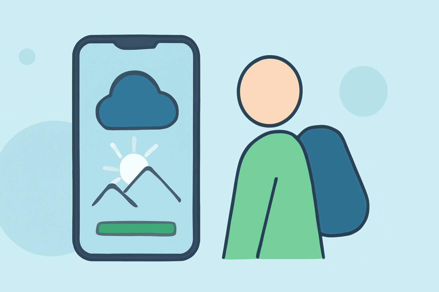
Embarking on a hiking adventure requires meticulous planning, and one of the most crucial aspects is staying informed about the weather. Accurate and timely weather information can significantly impact your safety and enjoyment on the trail. In 2026, several weather apps have emerged as invaluable tools for hikers, providing detailed forecasts, real-time updates, and specialized features tailored to outdoor enthusiasts. Below, we explore some of the top weather apps that every hiker should consider.
What Are the Top Weather Apps for Hikers in 2026?
1. Carrot Weather
Carrot Weather stands out for its unique blend of accuracy and personality. Offering multiple data sources, it delivers precise weather forecasts with a touch of humor. The app provides detailed hourly forecasts, radar maps, and customizable widgets, making it a favorite among hikers who appreciate both functionality and entertainment. (appstested.com)
2. AccuWeather
AccuWeather is renowned for its reliable and comprehensive weather information. It offers hyperlocal forecasts, real-time alerts, and detailed radar maps. The app's MinuteCast feature predicts precipitation by the minute for the next two hours at your exact location, which is particularly useful for hikers to anticipate sudden weather changes. (appstested.com)
3. The Weather Channel
The Weather Channel app provides extensive weather coverage with real-time alerts and radar maps. It offers hourly and daily forecasts, severe weather alerts, and interactive radar, helping hikers stay informed about changing conditions. (top10.com)
4. Windy
Windy is a free app that visualizes multiple weather models on an interactive map, displaying wind, rain, temperature, pressure, and wave overlays. It allows hikers to compare forecasts from different models, providing a comprehensive view of expected conditions. (getaitoolhub.com)
5. RadarScope
RadarScope offers raw NEXRAD radar data, the same feeds that meteorologists use. It provides detailed radar imagery, including storm tracking and intensity, which is essential for hikers to monitor severe weather developments. (getaitoolhub.com)
How Do These Apps Enhance Hiking Safety?
These weather apps equip hikers with the tools to make informed decisions:
-
Real-Time Alerts: Receive notifications about severe weather conditions, allowing for timely route adjustments.
-
Detailed Forecasts: Access hourly and daily forecasts to plan hikes during favorable weather windows.
-
Interactive Maps: Utilize radar and weather overlays to visualize conditions along your planned route.
-
Offline Access: Some apps offer offline capabilities, ensuring access to critical information even in remote areas without cell service.
Are There Specialized Apps for Trail Navigation?
Yes, several apps cater specifically to trail navigation and conditions:
-
AllTrails: Offers a vast database of trails with user reviews, photos, and detailed information, helping hikers choose suitable routes. (aukcliff.com)
-
Gaia GPS: Provides offline topographic maps and detailed trail information, essential for backcountry navigation. (droidlore.com)
-
Komoot: Specializes in route planning and navigation, offering detailed maps and turn-by-turn directions. (hikeload.com)
How Do I Choose the Right App for My Hiking Needs?
When selecting a weather app for hiking, consider the following factors:
-
Coverage Area: Ensure the app provides accurate forecasts for the regions you plan to hike.
-
Offline Functionality: Opt for apps that offer offline access to maps and forecasts, especially for remote areas.
-
User Reviews: Check feedback from other hikers to gauge the app's reliability and user-friendliness.
-
Additional Features: Look for apps that offer trail information, navigation tools, and real-time alerts.
Conclusion
In 2026, hikers have access to a range of weather apps that provide accurate forecasts, real-time updates, and specialized features tailored to outdoor adventures. By leveraging these tools, hikers can enhance their safety, plan more effectively, and fully enjoy their time on the trails.
Highlights:
- Strava subscribers just saved themselves another sub to Komoot or AllTrails - as the freemium app debuts a new suite of hiking tools that 'spans every stage of the outdoor experience', including vital off-route alerts, Published on Thursday, June 11
- Strava just gave hikers a bunch of Garmin-style features (some for free), Published on Monday, June 15
- I'm obsessed with hiking - 3 Apple Watch apps I use to keep from getting lost, Published on Friday, February 13