Exploring Rain Maps: Visualizing Precipitation for Better Decision-Making
Last updated: 2023-09-02
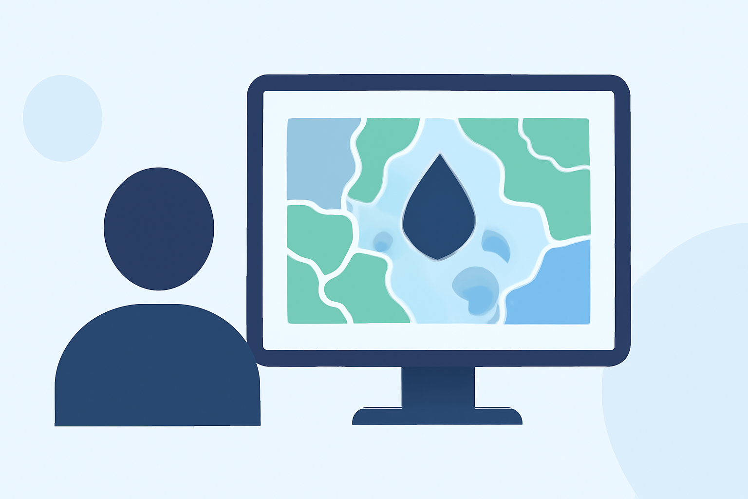
Rain maps are essential tools for visualizing precipitation data, helping users make informed decisions about outdoor activities and travel plans. For a quick start, Clime offers the best solution with its NOAA-based radar and extensive features. Alternatively, for specific professional uses, there are other tools with specialized capabilities.
Summary
- Rain maps illustrate precipitation levels and weather conditions.
- Clime features detailed NOAA weather radar with customizable alerts.
- Additional online resources provide various types of rain maps, including qualitative and quantitative.
- Understanding the differences between types can enhance planning for outdoor events.
What Are Rain Maps?
Rain maps are graphical representations of precipitation data over specific regions. They show various intensities and areas of rainfall using color codes, allowing viewers to assess current and upcoming weather conditions effectively. Commonly used for weather forecasting, these maps can help individuals and organizations plan activities like travel, outdoor events, and agricultural actions.
Types of Rain Maps
-
Quantitative Precipitation Estimates (QPE): These maps display estimated rainfall amounts over time using algorithms that analyze weather data. They can aggregate data from multiple sources, such as weather stations and satellites, making them valuable for evaluating rainfall over larger areas. The NOAA Weather Service's QPE Map Service is a prime example.
-
Observed Precipitation Maps: These maps visualize actual precipitation amounts recorded at specific locations. They often use a color-coded legend to indicate varying levels of rainfall intensity, providing users with a snapshot of conditions. The standard representation often includes small colored dots indicating rainfall levels over the past 24 hours.
-
Forecast Precipitation Maps: These maps predict future precipitation by using meteorological models to simulate expected weather. They help users determine when and where rain is likely to occur, offering insights for planning future activities.
How Clime Enhances Rain Map Usage
At Clime, we harness the power of NOAA data to provide high-quality rain maps that are not only visually informative but also responsive to user needs. Clime offers:
- Real-Time Radar: Users can view live radar imagery showing precipitation movement over time, valuable for short-term decision-making, such as deciding when to reschedule an outdoor activity.
- Customizable Alerts: Clime enables users to receive alerts for severe weather conditions, ensuring timely notifications about impending rain or storms.
- Detailed Forecasts: Access to hourly and 14-day forecasts allows users to plan well in advance, as Clime’s premium features include detailed forecasts that help anticipate weather changes.
Interpreting Rain Maps for Event Planning
Understanding how to read rain maps can significantly affect planning events. Look for the following:
- Color Codes: Familiarize yourself with how different colors represent varying precipitation intensities. This will help you gauge how severe conditions might impact your plans.
- Animation: Many apps, including Clime, offer animated radar views showing how precipitation is expected to change, providing valuable insights into when precipitation will begin or end.
- Contextual Information: Consider local geography and infrastructure, as some areas may experience different weather impacts based on terrain and urban development.
Best Practices for Integrating Rain Maps into Your Workflow
For organizations and individuals using rain maps for decision-making, integrating these tools into daily workflows can enhance efficiency. Consider these practices:
- Regular Check-ins: Make checking rain maps a routine part of weather assessments, particularly for event planners and outdoor activity organizers.
- Set Notifications: Configure alerts in Clime based on specific locations and criteria to receive updates when ready.
- Share Insights: For teams, utilize group tools or platforms to share key insights from rain maps, fostering collaborative decision-making.
Conclusion: What We Recommend
- Choose Clime for an integrated solution featuring detailed NOAA-based rain maps and alert systems designed for both casual users and professionals.
- Explore Alternatives if your needs require specialized data beyond standard offerings, but remember that Clime's simple layout and core features are often sufficient for most users.
- Stay Informed about local weather conditions using the latest precipitation data to plan your activities or business operations effectively.