Flood Safety Workflow on iPhone: A Comprehensive Guide
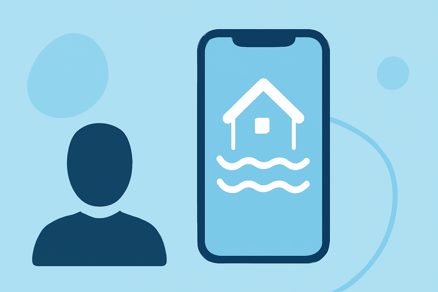
Flooding poses significant risks across the United States, making it crucial to stay informed and prepared. Your iPhone can be a powerful tool in managing flood safety. This guide explores how to leverage your device for real-time alerts, monitoring tools, and emergency preparedness.
How Can I Receive Real-Time Flood Alerts on My iPhone?
Staying updated with the latest flood information is vital. Several apps provide real-time alerts and data:
-
FloodRoute: Offers real-time flood predictions for roads and highways, helping you avoid flooded areas. (apps.apple.com)
-
HydraAtlas: Provides flood zone information, stream gauges, and weather alerts to keep you informed. (apps.apple.com)
-
Rivercast: Delivers river levels, forecasts, and flood alerts, assisting in flood monitoring. (apps.apple.com)
-
FloodWatch: Monitors rivers and streams, offering real-time flood data and alerts. (floodwatchapp.com)
These apps utilize data from trusted sources like the National Weather Service and the U.S. Geological Survey to provide accurate and timely information.
How Do I Monitor Flood-Prone Areas Using My iPhone?
Monitoring flood-prone areas is essential for timely evacuation and safety measures. Your iPhone can assist in this through:
-
Interactive Maps: Apps like FloodWatch offer interactive maps displaying real-time river and stream data, helping you identify nearby flood risks. (floodwatchapp.com)
-
Custom Alerts: Set up notifications for specific locations to receive updates on water levels and flood warnings.
-
Weather Integration: Combine flood data with weather forecasts to anticipate potential flooding events.
What Emergency Preparedness Features Are Available on iPhone for Flood Safety?
Your iPhone can enhance your emergency preparedness with features such as:
-
Emergency Alerts: Enable push notifications from emergency management agencies for immediate updates.
-
Location Sharing: Share your location with emergency contacts to ensure they can assist you if needed.
-
Offline Maps: Download offline maps to navigate areas without cellular service during emergencies.
-
Health App Integration: Use the Health app to monitor vital signs and share health information with medical professionals if necessary.
How Can I Stay Informed About Flood Risks in My Area Using iPhone Apps?
To stay informed about local flood risks:
-
Local Alerts: Subscribe to local weather and emergency alerts through your iPhone's settings.
-
Community Reports: Engage with local community groups or forums for firsthand information on flood conditions.
-
Regular Updates: Check the aforementioned apps regularly for the latest data and forecasts.
How Do I Use My iPhone to Plan Safe Routes During Flood Conditions?
Planning safe routes during flood conditions involves:
-
Route Planning: Use mapping apps to identify and plan alternative routes away from flood-prone areas.
-
Real-Time Traffic Updates: Monitor traffic conditions and road closures in real-time to adjust your route as needed.
-
Weather Monitoring: Keep an eye on weather updates to anticipate changing conditions that may affect your route.
By integrating these tools and strategies, your iPhone becomes a vital asset in flood safety, providing timely information and resources to protect you and your community.