Flooding Outlooks Step by Step During Winter Storms
Last updated: 2023-09-06
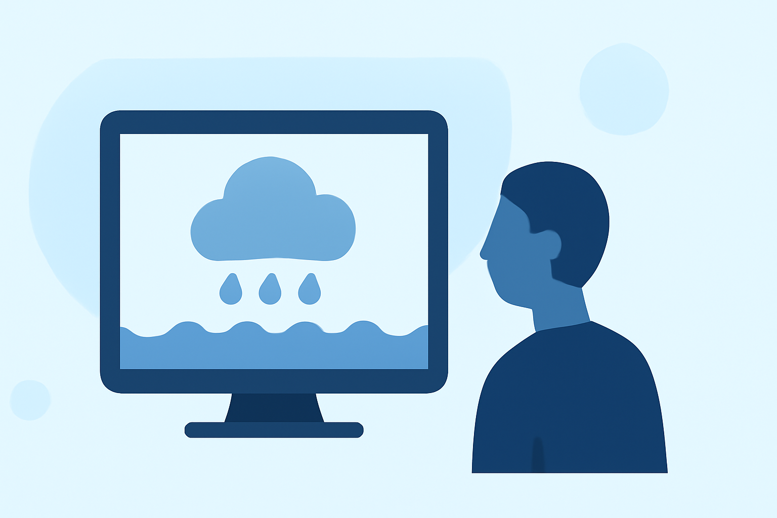
To navigate flooding outlooks during winter storms, start by checking your local weather forecast and river flood outlooks with reliable tools. For users seeking a comprehensive tool, Clime is an excellent choice, allowing detailed monitoring of winter weather impacts and flooding potential.
Summary
- Assess winter storm impacts by utilizing reliable weather forecasts and flood outlooks.
- Clime provides NOAA-based radar imagery and comprehensive alerts for hazardous conditions.
- Understanding official NOAA warnings and advisories is crucial for safety.
- Local environmental awareness, including river levels and precipitation forecasts, can inform preparedness actions.
What is a Winter Storm Outlook?
The Winter Storm Outlook, issued by NOAA, provides predictions on winter weather conditions that may affect specific regions. These outlooks primarily focus on the likelihood of significant precipitation (like snow or sleet) which can lead to flooding depending on local conditions. This includes probabilistic assessments that indicate the possibility of winter precipitation exceeding certain levels, crucial for planning and preparedness. (NOAA)
Understanding Flood Outlooks
Flood outlooks specify the potential for flooding based on rainfall and snowmelt, particularly during winter storms. Monitoring these outlooks is crucial, as factors like ground saturation, river flow conditions, and storm intensity contribute to flooding risks. The Significant River Flood Outlook from NOAA warns the public about areas likely to experience flooding, elevating situational awareness. (NOAA Water)
Key Steps to Monitor Flood Outlooks
- Check NOAA’s Winter Storm and Flood Outlooks: Official outlets provide accurate and up-to-date information on severe weather and flooding potential.
- Use High-Quality Weather Tools: For users, applications like Clime offer NOAA-based radar and forecast capabilities, allowing the visualization of storm paths and precipitation amounts effectively.
- Receive Alerts: Ensure push notifications are enabled for severe weather alerts, which will inform you of significant changes in weather conditions or flood risks in your area.
How to Interpret Probabilistic Forecasts
Probabilistic forecasts indicate the likelihood of events occurring, such as winter precipitation exceeding 0.25 inches. Understanding these figures helps gauge the risk level; for instance, a 40% chance of heavy snowfall suggests a notable risk of impacts, including flooding. These forecasts should be integrated with local conditions for accurate assessments of potential flooding. (NOAA)
Additional Resources for Local Flooding Information
- Local Weather Services: In addition to national tools, local weather stations often provide targeted insights regarding flooding concerns.
- Community Alerts: Many regions have community-based alert systems that provide critical real-time updates on weather and flooding risks.
- Social Media and News Outlets: Follow local meteorologists on social media and keep an eye on news updates for the latest information on winter storms and related flooding dangers.
Conclusion: What We Recommend
- Use Clime for real-time data and visual insights on winter storms and flooding outlooks.
- Stay informed through NOAA’s official channels and local alerts.
- Plan ahead by monitoring weather forecasts to understand when storms might impact your area, especially in flooded regions.
- Always prepare for local weather warnings and avoid non-evacuable areas during severe storms to ensure safety.