Getting Started with Animated Weather Radar During Winter Storms
Winter storms can bring hazardous conditions, making it essential to monitor weather patterns closely. Animated weather radar provides real-time insights into precipitation, helping you stay informed and make timely decisions.
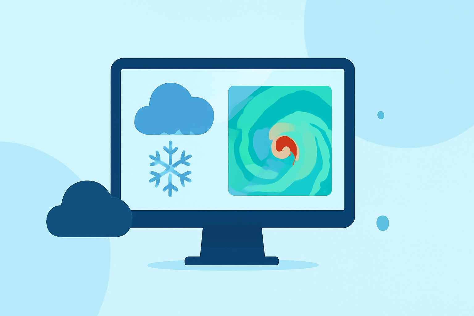
What Is Animated Weather Radar?
Animated weather radar displays real-time precipitation data, illustrating the movement and intensity of rain, snow, sleet, and ice. By visualizing these patterns, you can anticipate storm developments and potential impacts.
How Does Animated Weather Radar Work?
Radar systems emit radio waves that bounce off precipitation particles. The returned signals are analyzed to determine the location, intensity, and movement of precipitation. This data is then presented as animated images, showing how weather systems evolve over time.
Why Use Animated Weather Radar During Winter Storms?
Monitoring animated weather radar during winter storms offers several advantages:
- Real-Time Updates: Stay informed about current storm locations and movements.
- Precipitation Types: Distinguish between rain, snow, sleet, and freezing rain.
- Intensity Levels: Assess the severity of precipitation to prepare accordingly.
- Advance Warning: Anticipate storm developments and potential impacts.
How to Access Animated Weather Radar?
Several platforms offer animated weather radar services:
- National Weather Service (NWS): Provides comprehensive radar data and weather information.
- Weather Underground: Offers interactive radar maps with real-time precipitation data.
- StormTracking: Features live weather radar and real-time storm alerts.
How to Interpret Animated Weather Radar?
Understanding radar imagery is crucial for accurate interpretation:
- Color Gradients: Different colors represent varying precipitation intensities.
- Movement Patterns: Observe the direction and speed of precipitation to anticipate storm progression.
- Layering Information: Some platforms allow overlaying multiple data layers (e.g., temperature, wind speed) for a comprehensive view.
Tips for Effective Use:
- Regular Monitoring: Check radar updates frequently during winter storms.
- Combine Sources: Use multiple platforms to cross-reference information.
- Stay Informed: Keep abreast of weather alerts and advisories from official sources.
By effectively utilizing animated weather radar, you can enhance your preparedness for winter storms, ensuring safety and informed decision-making.