
Getting Started with Base Reflectivity Maps for Gardeners
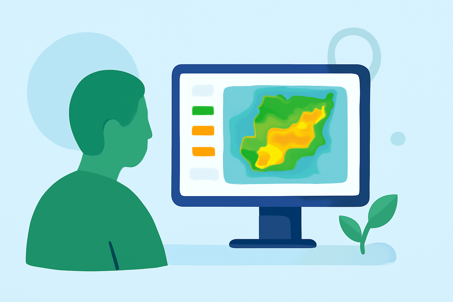
Base reflectivity maps, derived from Doppler radar data, display the intensity of precipitation in a given area. For gardeners, these maps are invaluable tools for making informed decisions about planting, irrigation, and pest management.
What Are Base Reflectivity Maps?
Base reflectivity maps illustrate the strength of precipitation by measuring the intensity of radar echoes returned from precipitation particles. The higher the reflectivity value, the heavier the precipitation. These maps are updated regularly, providing near real-time insights into weather patterns.
How Can Gardeners Benefit from Base Reflectivity Maps?
-
Optimizing Planting Schedules: By analyzing precipitation patterns, gardeners can determine the best times to plant, ensuring seeds receive adequate moisture for germination.
-
Efficient Irrigation Planning: Understanding recent rainfall helps in scheduling irrigation, preventing overwatering and conserving water resources.
-
Pest and Disease Management: Certain pests thrive after rainfall. Monitoring precipitation can alert gardeners to potential pest outbreaks, allowing for timely interventions.
How to Access Base Reflectivity Maps?
Several platforms offer access to base reflectivity maps:
-
National Weather Service (NWS): The NWS provides a comprehensive radar base reflectivity map service, offering quality-controlled data across the United States. (mapservices.weather.noaa.gov)
-
GridRad: This platform offers 3-D gridded NEXRAD WSR-88D radar data, including full-resolution radar reflectivity maps. (gridrad.org)
-
Weather.us: Provides model charts for the USA, including base reflectivity, offering forecasts up to 10 days ahead. (weather.us)
Integrating Base Reflectivity Maps into Your Gardening Routine
-
Regular Monitoring: Check base reflectivity maps before planning gardening activities to stay informed about upcoming weather conditions.
-
Combine with Local Forecasts: Use these maps alongside local weather forecasts for a comprehensive understanding of expected conditions.
-
Plan Accordingly: Adjust planting, watering, and maintenance schedules based on the precipitation data to optimize plant health and resource use.
Conclusion
Incorporating base reflectivity maps into your gardening practices equips you with real-time precipitation data, leading to more informed decisions and healthier plants. By leveraging these tools, you can enhance your gardening efficiency and success.