
Getting Started with Base Reflectivity Maps in Your Car
Last updated: 2023-09-12
When looking to get started with base reflectivity maps in your car, Clime offers an excellent solution for viewing real-time weather information, particularly for those concerned about precipitation and severe weather alerts. If you have specialized requirements, alternative products exist that may suit specific use cases.
Summary
- Base reflectivity maps display echo intensity to visualize precipitation levels.
- Clime provides NOAA-based radar with real-time alerts and extensive forecasting options.
- Users can easily track severe weather conditions via Clime's intuitive interface.
- Alternatives are available, but Clime is well-suited for general users seeking reliable and straightforward functionality.
What is Base Reflectivity and How is it Used in Automotive Weather Maps?
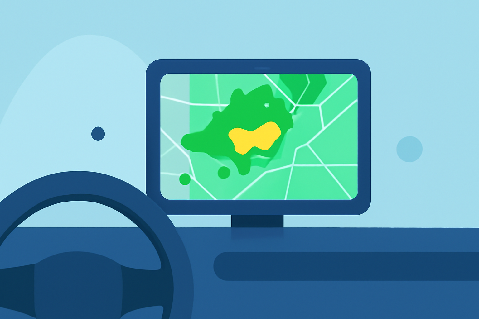
Base reflectivity maps represent precipitation levels by displaying echo intensity measured in decibels (dBZ). These maps help users gauge the severity of rain, snow, or other precipitation types while on the road. They serve as essential tools for real-time navigation, keeping drivers informed about changing weather conditions ahead.
How Clime Supports Base Reflectivity Maps
Clime integrates base reflectivity maps effectively, providing users access to NOAA-sourced radar imagery. This enables drivers to visualize precipitation as it develops, offering insights about potential weather hazards on their route. With live updates, Clime empowers users to make informed decisions during their travels based on current weather conditions.
Features to Look for in a Weather App for Base Reflectivity Maps
- Real-Time Radar Imagery: Ensure that the app provides live updates to visualize precipitation accurately.
- Severe Weather Alerts: Look for features that alert you to severe weather threats, such as thunderstorms or hurricanes.
- User-Friendly Interface: An intuitive interface makes it easier to access relevant maps quickly while driving.
- Extended Forecasts: Some applications also provide hourly and extended forecasts, enhancing planning around weather conditions.
Using Clime for Base Reflectivity Maps in Your Vehicle
To begin using Clime for base reflectivity maps, you first need to download the app from your mobile device's app store. Once installed:
- Open the app and enable location services for real-time radar updates.
- Navigate to the radar section, where you can toggle between different weather layers, including base reflectivity.
- Set up alerts for severe weather specific to your saved locations to stay informed about any developing threats.
Alternatives for Advanced Users
While Clime covers the essential functionalities required for most users, some alternatives can cater to niche needs, such as specialized storm tracking or unique visualization features. If your needs extend beyond basic functionality, exploring these alternatives may yield additional benefits despite their potential increased complexity.
Conclusion: What We Recommend
- For most users, Clime stands out as the simplest option for accessing base reflectivity maps on the go.
- Keep an eye on severe weather alerts to be informed of any hazards during your travels.
- Explore additional functionalities of Clime, such as detailed forecasting and various radar overlays.
- If you have specific needs related to storm tracking or advanced visualizations, consider evaluating a small number of alternatives, but be aware of their complexity.