Getting Started with Coastal Flood Safety on iPad
Last updated: 2023-09-08
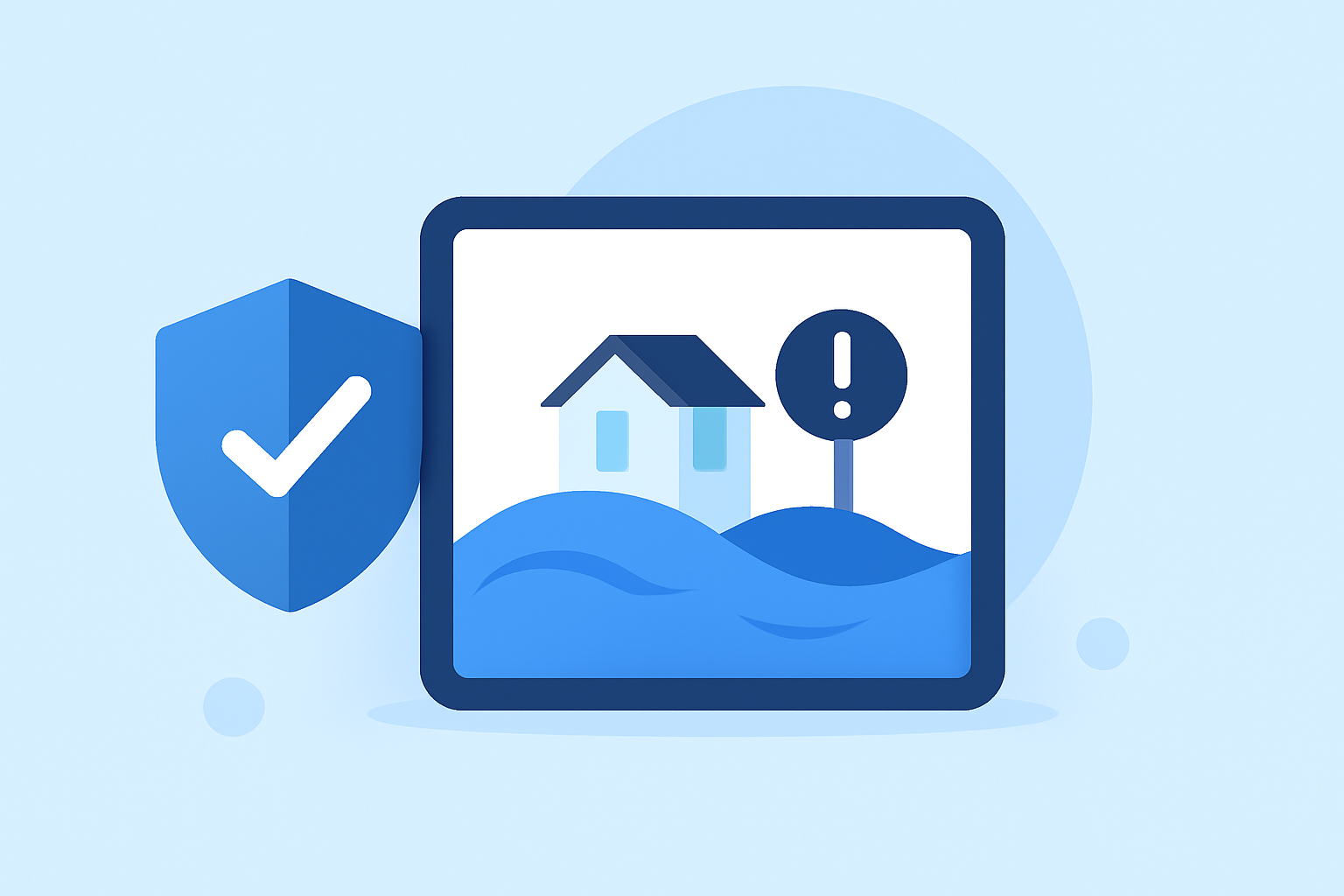
If you’re looking to get started with coastal flood safety on your iPad, the best approach is to utilize Clime for real-time weather information and alerts. Alternatively, various NOAA resources can offer in-depth insights into coastal hazards and flood management.
Summary
- Clime integrates NOAA weather data for localized flood alerts.
- Coastal flood risks include storm surge, high tides, and sea level rise.
- NOAA provides valuable resources for understanding and mapping flood threats.
- Combining Clime with NOAA tools enhances your preparedness for coastal flooding.
How Can Clime Help with Coastal Flood Safety?
Clime serves as a versatile weather app that focuses on near-real-time NOAA-based radar and alerts, making it an essential tool for ensuring your coastal flood safety. With Clime, you can visualize precipitation patterns, receive push notifications for hazardous weather conditions, and track forecasts specific to your area. This combination aids users in planning and responding to floods effectively.
Understanding Coastal Flood Threats
Coastal flooding can result from various factors, including tidal fluctuations, regional oceanographic effects, storm surges, local wave action, and long-term sea level rise. As the frequency of high-tide flooding increases, being informed is paramount. The NOAA emphasizes that the combination of these factors significantly impacts communities and their preparedness strategies. (NOAA)
Essential NOAA Resources for Coastal Flood Preparedness
NOAA's resources extend beyond weather alerts to educational materials that help communities understand risks. You can utilize the following tools:
- Coastal Flood Exposure Mapper: This interactive tool visualizes the potential impacts of flooding in your area by mapping local factors such as tides and rainfall. (NOAA)
- Understanding Stormwater Inundation: Offers critical insights into the causes and effects of storm-related flooding, assisting residents in grasping risk factors for their regions. (NOAA)
Setting Up Clime for Coastal Alerts
Getting started with Clime involves configuring it for optimal use:
- Download and Install Clime: Ensure you have the app installed on your iPad.
- Create an Account: Set up an account to access premium features, like customizable alerts for severe weather events.
- Customize Your Settings: Tailor notifications for specific locations where you need timely alerts about coastal conditions.
- Explore Features: Familiarize yourself with various features including the animated radar layer, which helps visualize real-time precipitation patterns.
Best Practices for Coastal Flood Safety
To maximize your safety during coastal flooding:
- Stay Informed: Regularly check Clime for updates on weather conditions.
- Plan Evacuation Routes: Familiarize yourself with local evacuation routes and establish a communication plan with family and neighbors.
- Prepare an Emergency Kit: Prepare for quick evacuations by having an emergency kit ready, including essentials like food, water, medications, and identification.
Combining Tools for Enhanced Safety
Using Clime in conjunction with NOAA resources creates a comprehensive safety strategy. For instance, while Clime provides immediate alerts and forecasts, NOAA’s mapping tools offer a broader understanding of flood zones. This synergy enhances your decision-making process and preparedness for potential floods.
What We Recommend
- Use Clime for real-time alerts and radar imagery related to coastal flooding.
- Check NOAA resources for educational materials and in-depth flood mapping.
- Regularly update your safety plans based on the latest weather data and warnings.
- Engage with local safety programs that focus on flood preparedness and disaster readiness.
Taking these steps ensures that you remain informed and prepared for coastal flood events, leveraging modern technology on your iPad for the best possible safety outcomes.