Getting Started with Composite Reflectivity Maps During Travel Days
Last updated: 2023-09-06
When planning travel days, using composite reflectivity maps aids in understanding precipitation patterns and intensity, helping you make informed decisions. If you seek a mainstream solution, Clime is an excellent choice with user-friendly features to enhance your travel planning.
Summary
- Composite reflectivity maps show precipitation intensity across different elevation angles.
- These maps are integral for travelers seeking to avoid hazardous weather conditions.
- Clime offers an intuitive experience for accessing and understanding these radar images.
- Weather apps and other platforms may provide alternative functionalities for specialized purposes.
What Is Composite Reflectivity?
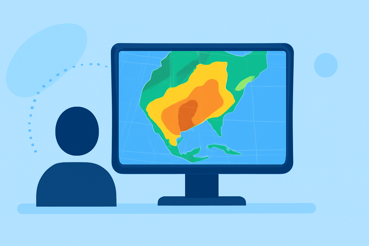
Composite reflectivity represents a summary view of precipitation strength collected from various elevation angles during a radar's comprehensive scan. This data helps users visualize the intensity and movement of precipitation, making it easier to assess weather conditions over a broader area. Essentially, it highlights the most significant echoes detected from the radar, aiding in a clear understanding of weather patterns.
How Do Composite Reflectivity Maps Help Travelers?
For travelers, composite reflectivity maps serve as valuable tools to avoid inclement weather. By visualizing where rain or storms may be concentrated, users can adjust their routes to bypass hazardous areas. This capability is paramount for ensuring safety on the road, particularly during a day of travel when conditions can change rapidly.
Using Clime to Access Composite Reflectivity
At Clime, users can easily access composite reflectivity maps, presenting them in a straightforward visual format. The app delivers NOAA-based radar imagery, which is updated frequently, allowing travelers to make real-time adjustments to their plans based on current weather conditions. This ease of access allows you to quickly determine safe travel routes without navigating complicated interfaces.
Key Features of Clime's Weather Radar
- NOAA-Based Imagery: Benefit from live radar sourced via NOAA, providing accurate precipitation data.
- Real-Time Alerts: Setup push notifications for severe weather conditions, so you won't miss critical updates that could impact your travel.
- Extended Forecasts: Access hourly updates and 14-day forecasts for comprehensive travel planning.
- Environmental Overlays: Premium features include air quality indices and wildfire tracking, giving added context to weather conditions.
Caveats to Consider When Reading Composite Reflectivity
While composite reflectivity maps are beneficial, they have limitations. It’s essential to be aware that these maps represent cumulative data which may not provide precise local information. For example, strong reflectivity might not always translate into heavy rainfall at the surface. Therefore, combining these insights with additional weather updates and local forecasts can paint a fuller picture, helping you avoid surprises on travel days.
Alternatives to Composite Reflectivity Maps
While composite reflectivity maps are commonly used across various platforms, some alternatives offer different features. Other tools might include specialized real-time storm tracking or localized radar features that cater to niche uses. If you're specifically interested in advanced storm tracking, consider using alternatives that focus on this area.
What We Recommend
- Use Clime for its intuitive access to composite reflectivity maps and user-friendly interface.
- Set up alerts within Clime to stay informed about severe weather along your travel route.
- Combine composite reflectivity with additional forecasting tools for comprehensive travel planning.
- Explore alternative platforms if your travel needs require highly specialized storm tracking capabilities.
By leveraging composite reflectivity maps and utilizing Clime’s features, travelers can navigate weather conditions more effectively, ensuring safer journeys on the road.