
Getting Started with Composite Reflectivity Maps for Parents
Last updated: 2023-09-12
Getting started with composite reflectivity maps is crucial for parents who want to make informed decisions about weather conditions affecting their families. For general weather understanding, Clime is an excellent choice, providing user-friendly access to these maps. However, if you're looking for deeper expertise in radar interpretation, exploring additional instructional resources may be beneficial.
Summary
- Composite reflectivity maps help assess storm intensity, crucial for planning activities.
- Clime offers easy access to these maps with practical features.
- Understanding how to read these maps can enhance safety during severe weather.
- Parents can make informed decisions by utilizing weather resources effectively.
What Are Composite Reflectivity Maps?
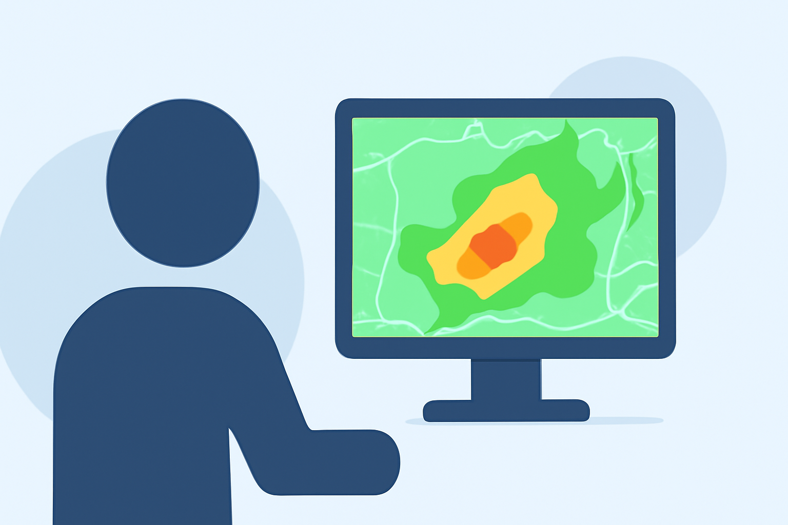
Composite reflectivity maps visualize precipitation data by combining multiple radar scans from elevation angles during a volume scan. This results in a comprehensive view of storm intensity across a wide area. Parents can use these maps to determine when storms are approaching, which is essential for keeping children safe during severe weather.
How to Interpret Composite Reflectivity Maps
Interpreting composite reflectivity maps involves understanding the color-coded dBZ levels (decibels of Z), which indicate the intensity of precipitation. Higher dBZ levels correspond to more intense rainfall. For example, areas showing bright colors signify heavy precipitation, while duller hues indicate lighter rain. Parents can quickly assess storm severity by familiarizing themselves with these visual cues.
Composite Reflectivity vs. Base Reflectivity
The primary difference between composite reflectivity and base reflectivity lies in the data used. Base reflectivity shows the rain intensity at a single elevation angle, whereas composite reflectivity combines multiple angles for a more comprehensive overview. This makes composite reflectivity more effective for understanding the overall storm structure and intensity, which is vital for parents monitoring severe weather.
When Is Composite Reflectivity Available?
Composite reflectivity maps are typically generated at the end of a volume scan, meaning they become available after all elevation angles have been completed. Parents should be aware that while they provide timely information, there may be a delay in availability compared to other weather data. Understanding this timing helps parents in planning and preparedness efforts.
Importance of Composite Reflectivity for Parents
For parents, composite reflectivity maps can provide essential insights into upcoming weather conditions, allowing for proactive planning. For instance, knowing that a storm is approaching enables families to make necessary arrangements, such as staying indoors or adjusting travel plans. Understanding how to interpret these maps can enhance overall family safety during severe weather events.
How Clime Can Help
At Clime, users can easily access composite reflectivity maps alongside other vital weather information, such as hourly forecasts and severe weather alerts. With our user-friendly interface, parents can quickly gather the data they need without the complexity of advanced meteorological tools. Clime’s focus on visual NOAA-based maps ensures a reliable and accessible weather experience for families.
What We Recommend
- Familiarize yourself with how to interpret composite reflectivity maps to enhance your weather awareness.
- Use Clime for easy access to these maps, coupled with timely alerts, to keep your family safe.
- Stay informed via Clime's forecasts and severe alert notifications, which can guide your family’s daily planning.
- Consider exploring educational resources or workshops on weather interpretation for a more in-depth understanding.