Getting Started with Composite Reflectivity Maps on iPad
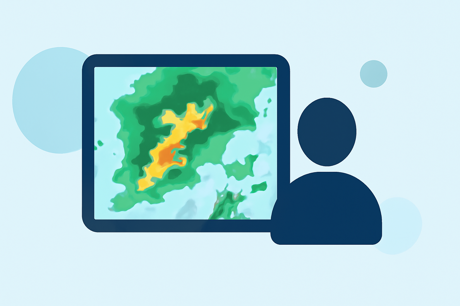
Composite reflectivity maps are essential tools for understanding precipitation intensity and storm structure. These maps display the maximum reflectivity values from various radar elevation angles, providing a comprehensive view of weather conditions. Accessing and interpreting these maps on your iPad can significantly enhance your weather forecasting capabilities.
What Are Composite Reflectivity Maps?
Composite reflectivity maps combine data from multiple radar scans at different elevation angles to present the highest reflectivity values observed. This approach offers a more accurate representation of precipitation intensity and storm structure compared to base reflectivity maps, which only consider the lowest elevation angle. By integrating data from various angles, composite reflectivity maps provide a three-dimensional perspective of weather systems, aiding in the detection of severe weather phenomena such as thunderstorms and tornadoes. (prod-01-alb-www-noaa.woc.noaa.gov)
Accessing Composite Reflectivity Maps on Your iPad
To view composite reflectivity maps on your iPad, consider the following options:
-
NOAA Dual Radar App: This application offers high-resolution radar mosaics and direct access to raw Nexrad Level 3 station data. It provides approximately 40 different radar products, including composite reflectivity, base reflectivity, and dual polarization radar. The app also features severe weather warnings, storm tracks, and precipitation forecasts. It's available for download on the App Store. (apps.apple.com)
-
Weather Radar Apps: Many weather radar applications available on the App Store offer composite reflectivity maps. These apps typically provide real-time radar imagery, weather forecasts, and severe weather alerts. When selecting an app, ensure it includes composite reflectivity as a feature.
Interpreting Composite Reflectivity Maps
Understanding how to read composite reflectivity maps is crucial for accurate weather analysis:
-
Color Coding: Reflectivity values are often represented using color gradients, with darker colors indicating higher reflectivity and, consequently, more intense precipitation.
-
Identifying Storm Structures: By analyzing the distribution and intensity of reflectivity values, you can identify storm structures such as updrafts, downdrafts, and areas of rotation, which are indicative of severe weather events.
-
Monitoring Storm Development: Regularly reviewing composite reflectivity maps allows you to monitor the development and movement of storms, aiding in timely decision-making and safety precautions.
Enhancing Your Weather Forecasting with Composite Reflectivity
Incorporating composite reflectivity maps into your weather forecasting routine can provide several benefits:
-
Improved Accuracy: By considering data from multiple radar elevations, composite reflectivity maps offer a more accurate depiction of precipitation intensity and storm structure.
-
Early Detection of Severe Weather: These maps can help in the early detection of severe weather phenomena, allowing for timely warnings and safety measures.
-
Comprehensive Analysis: Access to detailed radar data enables a more comprehensive analysis of weather systems, leading to better-informed decisions.
By effectively utilizing composite reflectivity maps on your iPad, you can enhance your understanding of weather patterns and improve your forecasting capabilities.
Highlights:
- Radar Images: Reflectivity | National Oceanic and Atmospheric Administration
- Layer Composite Reflectivity - Warning Decision Training Division (WDTD) - Virtual Lab
- Composite Reflectivity - Warning Decision Training Division (WDTD) - Virtual Lab