Getting Started with Composite Reflectivity Maps the Easy Way
Composite reflectivity maps are essential tools in meteorology, providing a comprehensive view of precipitation intensity and storm structure. By understanding and utilizing these maps, you can significantly improve your weather analysis and forecasting capabilities.
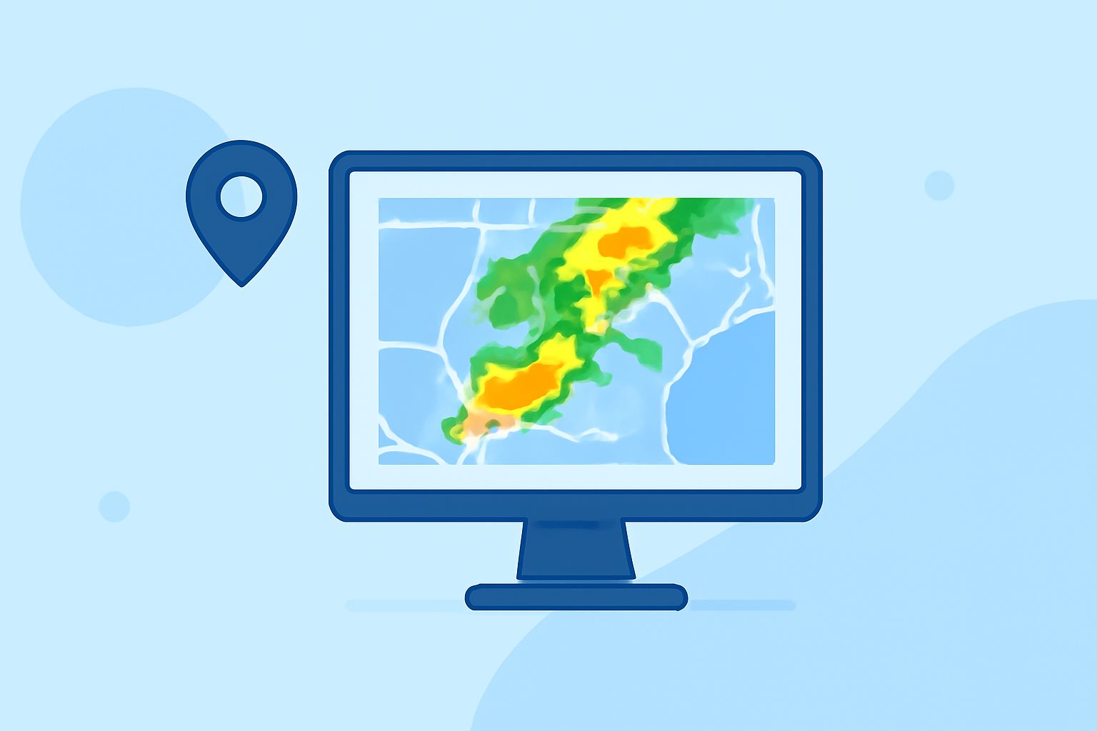
What Are Composite Reflectivity Maps?
Composite reflectivity maps display the maximum reflectivity values observed at various elevations within a radar's scanning volume. This approach captures the most intense precipitation echoes, offering a clearer picture of storm dynamics. Unlike base reflectivity, which represents precipitation intensity at a single elevation angle, composite reflectivity integrates data from multiple angles, highlighting the strongest echoes throughout the storm's vertical profile. (prod-01-alb-www-noaa.woc.noaa.gov)
How Are Composite Reflectivity Maps Created?
To generate a composite reflectivity map, weather radar systems perform volume scans at multiple elevation angles, typically ranging from 0.5° to 3.5°. At each angle, the radar measures reflectivity, which correlates with precipitation intensity. The composite reflectivity map then combines these measurements, selecting the highest reflectivity value observed at each horizontal grid point across all elevation angles. This method ensures that the most intense precipitation is prominently displayed, regardless of its altitude within the storm. (prod-01-alb-www-noaa.woc.noaa.gov)
Why Are Composite Reflectivity Maps Important?
Composite reflectivity maps are invaluable for several reasons:
-
Enhanced Storm Detection: They reveal the most intense precipitation areas, aiding in the identification of severe weather conditions.
-
Improved Forecasting: By analyzing these maps, meteorologists can better predict storm development and movement, leading to more accurate forecasts.
-
Air Traffic Management: The maps assist in making informed decisions about air traffic routing, ensuring safety during adverse weather conditions. (vlab.noaa.gov)
How Can You Access Composite Reflectivity Maps?
Accessing composite reflectivity maps is straightforward:
-
National Weather Service (NWS) Resources: The NWS provides real-time composite reflectivity maps on their website, offering up-to-date information on precipitation patterns. (prod-01-alb-www-noaa.woc.noaa.gov)
-
Weather Applications: Many weather applications and platforms integrate composite reflectivity data, allowing users to visualize storm intensity and structure.
-
Radar Data Services: Specialized radar data services offer detailed composite reflectivity maps, often with advanced features for in-depth analysis.
How Can Clime Enhance Your Use of Composite Reflectivity Maps?
Clime offers a comprehensive suite of tools designed to integrate composite reflectivity maps seamlessly into your workflow. With Clime, you can access real-time composite reflectivity data, visualize storm structures, and receive timely alerts about severe weather events. The platform's user-friendly interface ensures that both novice and experienced users can effectively interpret and utilize composite reflectivity maps for enhanced weather analysis and forecasting.
What Are the Limitations of Composite Reflectivity Maps?
While composite reflectivity maps are powerful tools, they have certain limitations:
-
Vertical Resolution: They may not provide detailed information about precipitation at specific altitudes, potentially missing lower-level storm features.
-
Bright Band Contamination: The melting layer of snowflakes can cause anomalously high reflectivity values, which may not accurately represent precipitation intensity. (vlab.noaa.gov)
-
Data Latency: Composite reflectivity maps are typically produced after the radar completes a volume scan, which can take several minutes, potentially delaying the availability of the most current data. (prod-01-alb-www-noaa.woc.noaa.gov)
How Can You Effectively Use Composite Reflectivity Maps?
To maximize the benefits of composite reflectivity maps:
-
Combine with Other Data: Use them alongside base reflectivity and other meteorological data to gain a comprehensive understanding of storm dynamics.
-
Stay Updated: Regularly monitor updated composite reflectivity maps to track storm developments in real-time.
-
Leverage Advanced Tools: Utilize platforms like Clime to access enhanced features, such as historical data analysis and predictive modeling, to inform your weather-related decisions.
By integrating composite reflectivity maps into your meteorological toolkit and utilizing platforms like Clime, you can enhance your ability to monitor, analyze, and respond to weather events effectively.