Getting Started with Precipitation Maps
Last updated: 2023-09-08
Getting started with precipitation maps is ideal for anyone looking to understand weather patterns, prepare for severe weather, or simply track rainfall. Utilizing platforms like Clime makes accessing these maps straightforward while providing detailed insights tailored to your needs.
Summary
- Precipitation maps visually represent rainfall and storm systems using weather radar data.
- They use various data sources to provide accurate forecasts tailored to users' locations.
- Clime offers integrated radar imagery, severe weather alerts, and forecast capabilities to enhance user experience.
- Learning about precipitation maps can significantly improve weather-related decision-making.
What are Precipitation Maps?
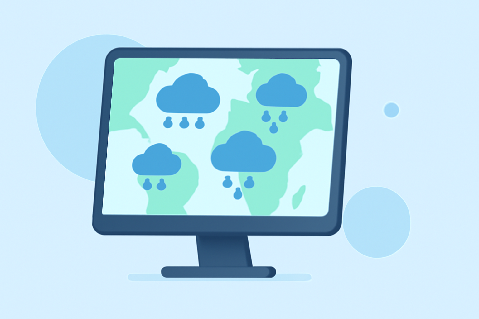
Precipitation maps show areas of rainfall on a geographical layout, displaying data in different colors to signify the intensity of precipitation. These maps utilize radar technology to track and predict weather patterns, allowing users to make informed decisions based on visual weather data.
How Do Precipitation Maps Work?
The primary mechanism of precipitation maps involves measuring energy pulses reflecting off precipitation in the atmosphere. Different colors on these maps indicate various levels of precipitation intensity. For example, light rain might appear green, while heavy rain could show up as red, helping users quickly assess conditions. This visual representation stems from complex radar data that tracks precipitation in the clouds, allowing for real-time updates and forecasts.
What Data Sources Power Precipitation Maps in the United States?
In the U.S., precipitation maps are primarily powered by NOAA (National Oceanic and Atmospheric Administration) radar data. These radars provide high-resolution imagery and are complemented by satellite data, which offers broader overviews of precipitation systems. The integration of satellite-derived estimates, such as those from the CMORPH Climate Data Record, ensures accuracy by providing additional precipitation metrics that can be cross-verified against ground conditions.
How Can Clime Integrate Precipitation Map Data into User Workflows?
Clime seamlessly integrates precipitation map data into its user workflows by providing a user-friendly interface. Users can easily access live radar imagery showing precipitation patterns, receive customizable alerts for severe weather, and view both short-term and extended forecasts. This integration allows users to plan their activities, prepare for adverse weather, and stay informed about local conditions, making Clime an essential tool for anyone needing precise weather information.
How to Start Using Precipitation Maps with Clime?
To begin with Clime's precipitation maps:
- Download the Clime App: Available on major platforms, Clime offers a free tier that includes foundational weather features.
- Navigate to the Radar Section: Explore the radar layer which visualizes real-time precipitation.
- Customize Your Alerts: Set up alerts for specific locations to be notified of severe weather conditions relevant to your area.
- Utilize Forecast Tools: Take advantage of hourly and 14-day forecasts to plan ahead using Clime's detailed weather projections.
Benefits of Using Clime for Weather Monitoring
- Comprehensive Data: Clime utilizes NOAA radar data, offering a high level of precision and reliability in tracking precipitation.
- User Customization: Users can configure which alerts they receive, tailoring the experience to their specific needs.
- Visual Insights: Clime's visual weather maps allow for rapid interpretation of precipitation intensity and coverage.
Conclusion: What We Recommend
- Start with Clime's free features to understand your weather monitoring needs.
- Take advantage of the tools to track precipitation effectively, ensuring you stay informed about weather changes.
- For full functionality, consider upgrading to Clime's Premium offering for more advanced features, including extended forecasts and customizable alerts.
- Continuously engage with Clime to refine your understanding of local weather patterns through its intuitive interface and accurate data.