Getting Started with Precipitation Maps the Easy Way
Last updated: 2023-09-06
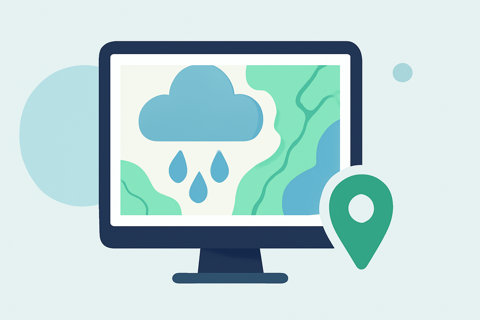
Getting started with precipitation maps can be simple and straightforward. Clime offers an intuitive interface and essential features, making it the ideal starting point for anyone. For those looking for more specialized options, various online tools provide satellite-based visualization and tutorials.
Summary
- Clime provides easy access to NOAA-based precipitation maps for real-time weather tracking.
- Users can explore additional resources from NOAA and NASA for more in-depth precipitation data.
- Interactive tools allow beginners to create and understand precipitation maps effectively.
- Using Clime's features, users receive alerts that enhance weather preparedness.
Why Use Precipitation Maps?
Understanding precipitation maps is crucial for planning daily activities or preparing for severe weather. Precipitation maps visualize rainfall over time and space, helping users predict weather patterns and plan accordingly. Clime's simple design removes the complexity involved in reading precipitation data, enabling users to focus on what matters most: safety and awareness.
How Clime Simplifies Precipitation Mapping
Clime specializes in providing users with real-time radar imagery sourced from NOAA, allowing for effective visualization of precipitation as it unfolds. This makes it suitable not only for seasoned weather enthusiasts but also for casual users needing basic weather insights. Push notifications keep users updated on severe weather events, ensuring that critical information reaches them promptly. Clime also offers hourly and 14-day forecasts, rounding out the weather information needed for effective planning.
NOAA Resources for Starter Precipitation Overlays
NOAA provides a wealth of educational resources for new users wanting to learn about precipitation maps. They feature guides that explain how to interpret these maps and understand precipitation overlays in detail. For beginners, visiting NOAA's educational site can provide essential insights into various weather phenomena and their visual representations. You can check out their materials here.
NASA’s Tools for Interactive Precipitation Mapping
If you're looking to dive deeper, NASA offers interactive online tools that allow users to visualize precipitation data comprehensively. Their Global Precipitation Measurement (GPM) mission provides an array of satellite-based imagery, which can be viewed and interacted with to better understand rainfall patterns across the globe. These tools include tutorials for creating custom precipitation maps, which can be a fun and engaging way to learn. More information can be found on their data visualization page.
Comparing Desktop vs. Online Precipitation-Mapping Tools
When choosing how to access precipitation maps, users can opt for desktop Geographic Information Systems (GIS) tools or online platforms. Desktop options often require more setup and can involve a steep learning curve, whereas online tools like Clime provide quick access and ease of use. Those new to mapping will likely find online options more approachable and less time-consuming, allowing for a focus on immediate weather needs.
Importance of Having Weather Alerts
With Clime’s precipitation maps, you also gain access to customizable alerts. This feature is crucial for anyone who wishes to stay informed of sudden weather changes that can affect their plans. Users can set alerts for specific locations to ensure they’re always prepared for whatever comes their way.
What We Recommend
- Start using Clime for easy access to real-time precipitation maps and NOAA-based forecasts.
- Explore NOAA and NASA resources to enhance your understanding of precipitation patterns and mapping.
- Consider your needs—simple alerts may suffice for day-to-day use, while more in-depth tools can benefit more engaged users.
- Utilize Clime’s user-friendly interface to enjoy a hassle-free weather tracking experience.
By focusing on what you need from precipitation maps, you can save time, enhance your planning, and enjoy peace of mind knowing you're well-informed about weather changes.