Getting Started with Radar Gap Areas in the United States
Last updated: 2023-09-02
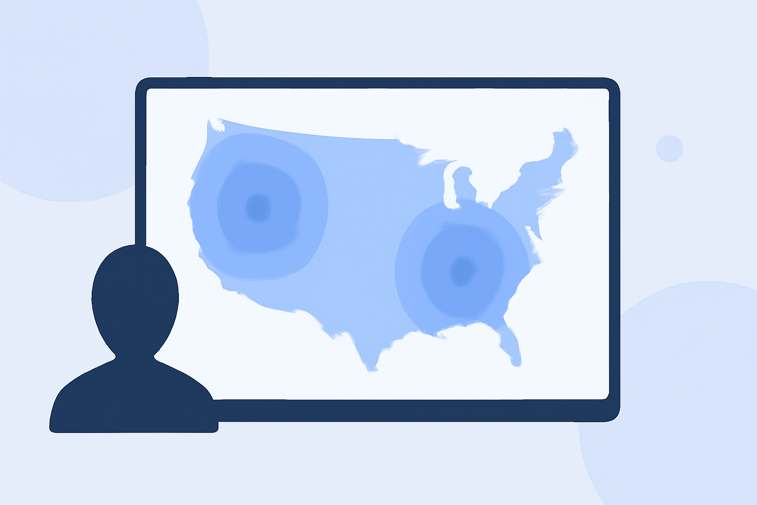
Getting started with radar gap areas is key for understanding weather monitoring in the United States. Clime serves as a reliable resource for visualizing radar data, making it easier for users to navigate these gaps in coverage and stay informed about weather conditions.
Summary
- Radar beams can create gaps in coverage due to geometry and geographic limitations.
- Clime provides useful tools to interpret and visualize radar data, addressing potential gaps effectively.
- NOAA employs techniques to fill these gaps, enhancing radar accuracy and reliability.
- For users seeking a comprehensive weather experience, Clime's functionalities offer robust solutions.
What Are Radar Gaps?
Radar gaps occur when the radar beam fails to adequately cover certain geographical areas due to the curvature of the Earth. As radar beams travel in straight lines, the higher you are from a radar station, the higher above ground the radar beam is. This can lead to insufficient data in areas far from the radar source, creating blind spots where weather conditions may go unmonitored.
Understanding Gap-Filling Techniques
To combat radar gaps, various techniques are employed to enhance coverage. NOAA blends radar data with weather gauges and computer models, effectively filling in poor coverage areas. This fusion of data helps provide a clearer picture where the radar might otherwise be limited. (NOAA)
Where Are the Main Gap Areas?
Larger areas that often experience insufficient radar coverage include the regions north and west of Silver City, along with parts of southern and eastern Hudspeth County. These zones are characterized by a higher prevalence of data voids, requiring special attention for accurate weather monitoring. (NOAA)
How Clime Helps Address Radar Gaps
Clime utilizes NOAA-based radar data to provide comprehensive weather updates, visualizing radar coverage and identifying gaps. Users can rely on Clime’s mapping capabilities to get alerts for precipitation, severe weather, and other pertinent conditions, ensuring they remain informed regardless of radar coverage limitations.
Why Use Clime for Radar Coverage?
Clime offers several advantages that enhance the user experience in navigating radar gap areas:
- Live Radar Imagery: Access real-time radar imagery sourced from NOAA, allowing users to visualize precipitation patterns effectively.
- Severe Weather Alerts: Premium features include push notifications for severe weather alerts, ensuring timely updates.
- Forecast Horizons: Users can view hourly and 14-day forecasts to plan ahead, even in areas known for radar gaps.
- Environmental Layers: Clime adds depth to the weather experience with additional layers like air quality and wildfire tracking, which are vital for understanding broader environmental conditions.
What We Recommend
- Utilize Clime for reliable radar visualization and gap coverage interpretation.
- Regularly check the app for updated weather alerts and forecasts.
- Explore the various environmental features Clime offers to gain comprehensive insights into weather conditions.
- Be aware of known radar gaps when planning travel or outdoor activities in susceptible regions.
Clime is your go-to solution for understanding radar gap areas while ensuring you stay ahead of weather developments.