Getting Started with Radar Replay During Winter Storms
Monitoring winter storms is crucial for safety and preparedness. Radar replay offers a valuable tool to track storm development and assess their impact.
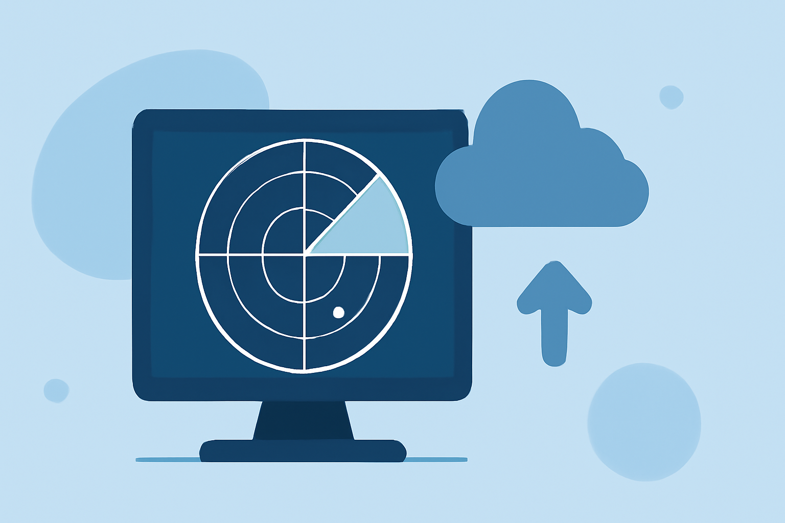
What Is Radar Replay?
Radar replay involves reviewing past radar data to analyze storm behavior and characteristics. This retrospective analysis helps in understanding storm patterns and improving future forecasts.
Why Use Radar Replay During Winter Storms?
-
Enhanced Understanding: By examining historical radar data, meteorologists can gain insights into storm formation and evolution, leading to better predictions.
-
Improved Forecasting: Analyzing past storms aids in refining forecasting models, resulting in more accurate predictions for upcoming events.
-
Informed Decision-Making: Access to detailed storm histories supports emergency response planning and resource allocation.
How to Access Radar Replay Data
Several platforms provide access to historical radar data:
-
NOAA's Climate.gov: Offers radar maps and animations that display past storm data, allowing users to visualize storm tracks and intensities. (prod-01-asg-www-climate.woc.noaa.gov)
-
WeatherTAP's RadarLab X: Provides tools for accessing and analyzing historical radar data, including features like storm tracking and precipitation analysis. (weathertap.com)
Interpreting Radar Data During Winter Storms
Understanding radar imagery is essential for accurate analysis:
-
Precipitation Types: Radar can distinguish between rain, snow, sleet, and ice pellets based on the size and shape of precipitation particles. (nssl.noaa.gov)
-
Intensity Levels: Color coding on radar maps indicates precipitation intensity, with green representing light precipitation and red indicating heavy precipitation. (stormtracking.io)
-
Storm Structure: Analyzing the storm's structure, such as the presence of rotation or hail, can provide insights into potential hazards. (tornadopath.com)
Best Practices for Using Radar Replay
-
Regular Monitoring: Consistently review radar data to stay informed about storm developments.
-
Combine Sources: Use multiple platforms to cross-reference data and obtain a comprehensive understanding of storm behavior.
-
Stay Updated: Keep abreast of the latest radar technologies and tools to enhance your analysis capabilities.
By effectively utilizing radar replay, you can gain valuable insights into winter storms, leading to better preparedness and response strategies.