Getting Started with Rain Forecasts the Right Way
Understanding rain forecasts is essential for daily planning and safety. Weather radar technology plays a pivotal role in providing accurate and timely precipitation information.
What Is Weather Radar?
Weather radar is a tool that sends out pulses of electromagnetic energy into the atmosphere to detect precipitation, determine its intensity, and identify its type, such as rain, snow, or hail. When these pulses encounter particles like raindrops or snowflakes, they reflect back to the radar, allowing meteorologists to analyze and visualize precipitation patterns. (weathercompany.com)
How Does Weather Radar Work?
Modern weather radars, particularly Doppler radars, operate by emitting short pulses of microwave energy. These pulses travel through the atmosphere and bounce off precipitation particles. The radar then measures the time it takes for the pulses to return, determining the distance to the precipitation. Additionally, Doppler radar can detect the velocity of precipitation particles, providing information about their movement and intensity. (prod-01-alb-www-noaa.woc.noaa.gov)
Interpreting Radar Data
Radar images are typically color-coded to represent different precipitation intensities:
-
Green: Light rain
-
Yellow and Orange: Moderate rain
-
Red: Heavy rain, often associated with thunderstorms
Understanding these color codes helps in assessing the severity and potential impact of rainfall. (met.caa.gov.om)
Limitations of Weather Radar
While weather radar is a powerful tool, it has certain limitations:
-
Range: The optimal range of radar beams is between 5–200 km. Beyond this range, the returned signal weakens, making detection less reliable. (bom.gov.au)
-
Obstructions: Physical obstructions like mountains or tall buildings can block radar signals, leading to incomplete data in certain areas.
-
Precipitation Type: Radar may have difficulty distinguishing between different types of precipitation, such as rain and snow, especially in mixed conditions.
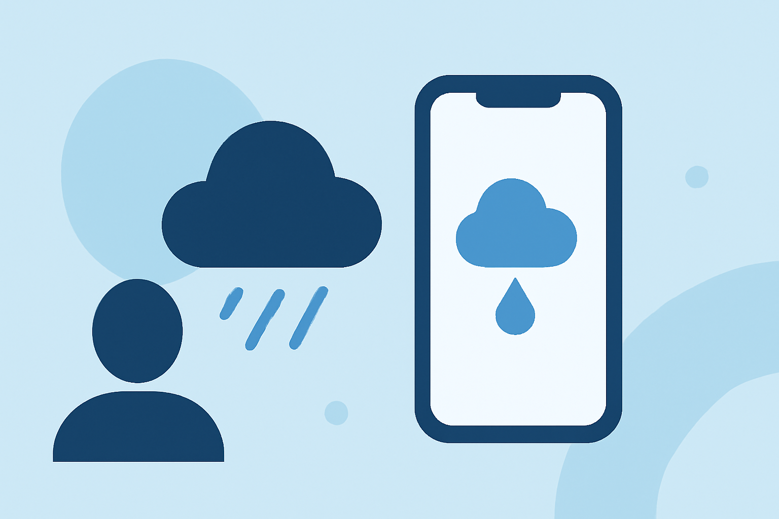
Enhancing Your Forecasting with Clime
Clime offers advanced features that complement traditional weather radar data, providing a more comprehensive understanding of precipitation patterns:
-
Real-Time Updates: Receive timely notifications about changing weather conditions, ensuring you're always informed.
-
Localized Forecasts: Access hyper-localized forecasts tailored to your specific location, enhancing accuracy.
-
Interactive Maps: Utilize detailed maps that overlay radar data with other meteorological information for a holistic view.
By integrating Clime's capabilities with traditional radar data, you can achieve a more accurate and personalized understanding of rain forecasts, aiding in better decision-making for daily activities.
Highlights:
- How Doppler Radar Lets Meteorologists Predict Weather and Save Lives | Scientific American, Published on Thursday, May 29
- Weather Words: Doppler Radar | Weather.com, Published on Wednesday, July 23