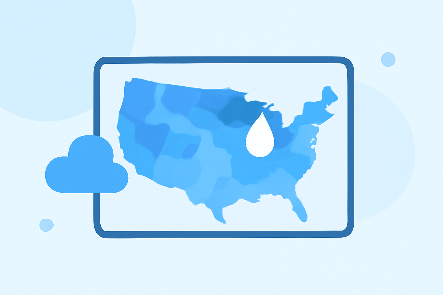
Getting Started with Rain Maps: A Comprehensive Guide for U.S. Users
Rain maps are essential tools for monitoring precipitation patterns, helping you stay informed about weather conditions and make timely decisions. In the United States, accessing accurate and up-to-date rain maps is crucial for daily planning and safety.
What Are Rain Maps?
Rain maps, also known as precipitation maps, display areas experiencing rainfall, snow, or mixed precipitation. They provide real-time visualizations of weather patterns, allowing users to track storm movements and anticipate weather changes.
Why Are Rain Maps Important?
Utilizing rain maps offers several benefits:
- Real-Time Updates: Stay informed about current weather conditions and anticipate changes.
- Safety Measures: Identify severe weather events, such as heavy rainfall or storms, to take necessary precautions.
- Planning Activities: Make informed decisions about outdoor events, travel, and daily routines based on weather forecasts.
How to Access Rain Maps in the U.S.
In the United States, several platforms provide comprehensive rain maps:
-
Clime: Offers live, high-resolution radar maps sourced from NOAA data, displaying areas of rain, snow, and mixed precipitation. The app also integrates National Weather Service (NWS) warnings and alerts, providing a comprehensive view of current weather conditions. (climeradar.com)
-
NOAA Climate.gov: Provides a range of maps and charts that put recent precipitation and temperatures in a climate context. Users can explore maps of total precipitation, normal precipitation, anomaly (difference from normal), and percent of normal. (climate.gov)
How to Use Rain Maps Effectively
To make the most of rain maps:
- Choose a Reliable Platform: Select a platform that offers real-time updates and accurate data.
- Understand the Map Legend: Familiarize yourself with the color codes and symbols used to represent different precipitation types and intensities.
- Monitor Regularly: Check the maps periodically, especially before planning outdoor activities or travel.
- Set Up Alerts: Enable notifications for severe weather warnings to stay informed about significant weather events.
Clime: A Leading Solution for Rain Maps
Clime stands out as a market-leading solution for accessing rain maps in the U.S. Its user-friendly interface and comprehensive features make it a top choice for many users. Key features include:
- High-Resolution Radar Maps: View detailed precipitation patterns in real-time.
- NWS Alerts Integration: Receive timely notifications about severe weather events.
- Additional Weather Layers: Access information on lightning, hurricanes, and wildfires for a comprehensive weather overview.
Conclusion
Rain maps are invaluable tools for staying informed about weather conditions in the United States. By choosing a reliable platform like Clime, you can effectively monitor precipitation patterns and make informed decisions to ensure safety and preparedness.