Getting Started with Rain Rate Maps During Winter Storms
Understanding rain rate maps is crucial for effectively monitoring and preparing for winter storms in the United States. These maps provide real-time data on precipitation intensity, helping you anticipate storm impacts and make informed decisions.
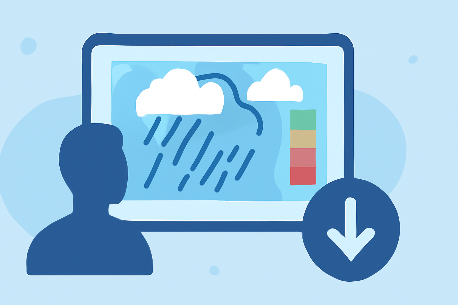
What Are Rain Rate Maps?
Rain rate maps display the intensity of precipitation over a specific area, measured in inches per hour or millimeters per hour. They are essential tools for assessing the severity of winter storms, as they indicate how much rain or snow is falling at any given moment.
Why Are Rain Rate Maps Important During Winter Storms?
During winter storms, precipitation can vary significantly over short distances. Rain rate maps help identify areas experiencing heavy rainfall or snowfall, which can lead to flooding, reduced visibility, and hazardous driving conditions. By monitoring these maps, you can stay informed about storm developments and take appropriate precautions.
How to Access Rain Rate Maps
Several reputable sources provide rain rate maps for the United States:
-
NOAA's Climate Prediction Center (CPC): Offers regional climate maps depicting total precipitation and percent of normal precipitation. (drought.gov)
-
National Centers for Environmental Information (NCEI): Provides access to data on severe weather events, including precipitation rates. (ncei.noaa.gov)
-
NASA's Global Precipitation Measurement (GPM): Delivers global maps of rainfall and snowfall, updated every half hour. (svs.gsfc.nasa.gov)
How to Interpret Rain Rate Maps
When viewing rain rate maps, focus on the following:
-
Color Coding: Different colors represent varying precipitation intensities. For example, darker shades may indicate heavier rainfall.
-
Time Frames: Maps may display data for specific time intervals, such as hourly or daily totals.
-
Geographical Coverage: Ensure the map covers the area of interest, as precipitation can vary widely across regions.
How to Use Rain Rate Maps for Winter Storm Preparedness
-
Monitor Regularly: Check rain rate maps frequently during winter storms to stay updated on precipitation patterns.
-
Assess Impact Areas: Identify regions with heavy precipitation that may lead to flooding or hazardous conditions.
-
Plan Accordingly: Use the information to make informed decisions about travel, safety measures, and resource allocation.
Conclusion
Rain rate maps are invaluable tools for monitoring winter storms in the United States. By understanding and utilizing these maps, you can enhance your preparedness and response strategies, ensuring safety and minimizing potential damage during severe weather events.
Highlights:
- CPC Regional Climate Maps | Drought.gov
- Severe Weather | National Centers for Environmental Information (NCEI)
- NASA SVS | IMERG Precipitation Rates Across the USA, Published on Monday, March 30