How Radar Detects Storm Movement and Speed (and How Clime Puts It on Your Map)
Last updated: 2026-03-06
For most people in the U.S., storm movement and speed are estimated by Doppler radar measuring how raindrops move toward or away from the antenna, then by tracking how radar images shift over time. If you need a clear, consumer‑friendly view of that motion rather than raw radar science, using an app like Clime that centers everything on an interactive radar map is usually the most practical path. (Clime)
Summary
- Doppler weather radar measures the motion of raindrops using the Doppler shift in returned pulses, giving a “radial velocity” toward or away from the radar. (NWS)
- Forecasters estimate storm speed and direction from velocity products and by watching how radar echoes move between frames in a loop. (NWS)
- Storm‑relative velocity subtracts the storm’s own motion from the wind field, making rotation and shear easier to see. (NWS)
- At Clime, we take NOAA‑based radar mosaics and layer in alerts, lightning, and hurricane tracking so you can follow storm movement without decoding professional radar software. (Clime)
How does Doppler radar actually detect storm motion?
A U.S. weather radar site (part of the NEXRAD network) sends out pulses of energy and then listens for echoes from raindrops, hail, or even debris. Each pulse that comes back is compared to the one that was sent to see how the phase has changed; from that phase shift, the radar computer calculates how fast the targets are moving toward or away from the radar—this is the Doppler effect in action. (NWS)
That measurement is called radial velocity. It is not the full three‑dimensional wind, just the component along the line between the radar and the storm. So when you see a classic “red moving away, green toward” velocity display on TV, you are seeing millions of tiny Doppler calculations distilled into a color map. (NWS)
In practice, forecasters combine:
- Base reflectivity (where the rain and hail are)
- Base velocity (how the targets move toward/away from the radar)
- Dual‑polarization products that indicate shape and type of targets
to infer which way storms are moving, how fast, and whether they may be rotating.
How does radar measure wind speed inside storms?
When people talk about “radar measuring wind speed,” they’re usually talking about Doppler velocity. The radar looks at the phase difference between successive pulses bouncing off moving raindrops; from that, it computes a speed along the radar beam, usually displayed in knots or mph. (NWS)
A few key points:
- Only the along‑beam component is measured. Radar directly detects how fast targets move toward or away from the site, not sideways across the beam. (NWS)
- Higher wind speeds show up as brighter colors. Strong inbound/outbound couplets (tight red‑green pairs) can indicate rotation.
- Dual‑pol helps with context. Dual‑polarization radar can flag oddly shaped debris, lending confidence when strong rotation may be producing a tornado. (NSSL)
So when a meteorologist says, “Radar is sampling 90‑mph winds at 3,000 feet,” that speed originates from Doppler velocity calculations, often adjusted for storm motion and viewing angle.
What is storm‑relative velocity and why does it matter?
Base velocity shows the raw wind field relative to a fixed radar site. But storms themselves are moving. To highlight the wind pattern within a moving storm, forecasters use storm‑relative motion (SRM) products.
In simple terms:
- The radar or forecaster estimates how the storm is moving.
- That motion is subtracted from the base velocity field.
- The result is storm‑relative velocity—winds as if you were moving along with the storm. (NWS)
This makes subtle circulations much easier to see, which matters when you’re trying to:
- Pinpoint mesocyclones in supercells
- Distinguish inflow and outflow regions
- Identify shear zones that may produce damaging winds
You will not usually see SRM products in consumer apps; they’re standard in professional radar workstations. For most everyday users, a well‑animated reflectivity loop, lightning, and alerts cover the practical “Where is it going, and how fast?” question.
How do radar loops show storm movement and speed?
Even without looking at Doppler velocity, you can estimate storm speed from basic radar loops. Operational radar systems generate frames every 5–10 minutes, and meteorologists animate those frames over the last 30–120 minutes to see how echoes shift. (NEXRAD)
From those loops, you can:
- Visually track the direction of travel (north‑east, east‑southeast, etc.)
- Approximate speed by how far cells move between frames
- Spot trends like intensifying lines, back‑building storms, or splitting supercells (GovFacts)
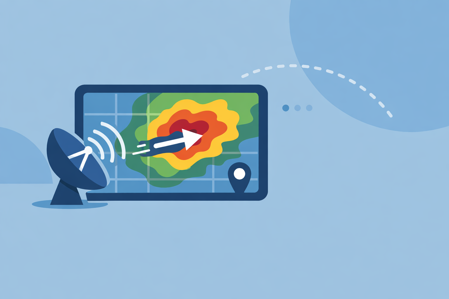
In Clime, the radar map uses NOAA‑sourced data to build these animated loops so you can watch storms glide across counties and states in near real time, without diving into specialist tools. (Clime)
What limits radar speed estimates (and how does NEXRAD handle aliasing)?
Doppler radars face a classic trade‑off known as the Doppler dilemma: using a given pulse repetition frequency, they can’t simultaneously sample very high speeds and very long ranges without ambiguity. When wind speeds exceed a certain “Nyquist velocity,” the radar may mis‑label strong inbound wind as outbound (or vice versa)—this is velocity aliasing. (NCEI)
The NEXRAD network mitigates this through:
- Carefully chosen scanning strategies
- Algorithms like multi‑PRF dealiasing (MPDA) that attempt to unwrap aliased velocities
For the everyday user, this matters less than it does to a forecaster, but it explains why radar‑derived winds are sometimes adjusted or interpreted with caution during extreme events.
Which radar products best illustrate storm movement in consumer apps?
Professional meteorologists rely on many radar products—multiple tilt angles, reflectivity at different heights, base and storm‑relative velocity, spectrum width, dual‑pol fields, and more. Consumer apps need to simplify that into something you can understand at a glance.
For most people tracking thunderstorms from home, the most useful radar‑driven elements are:
- Reflectivity loops to see where rain and hail are and how quickly they’re approaching
- Short‑term motion from animated frames or motion vectors
- Lightning overlays to gauge where the most intense cells and strikes are located
- Hurricane or storm‑center tracks to understand large‑scale motion
At Clime, we prioritize exactly those: NOAA‑based radar mosaics at the center of the app, plus premium layers for lightning, hurricanes, and wildfires, and severe weather and rain alerts for your saved locations. (Clime)
Other options such as The Weather Channel and AccuWeather add their own perspectives—longer loops, higher‑resolution tiles, or hyperlocal timelines like MinuteCast—but they still draw on the same NEXRAD infrastructure and similar animation concepts. (AccuWeather)
How does Clime turn radar science into everyday decisions?
Radar theory is valuable, but when storms are bearing down on your town you mainly care about three things: Where is it now? Where is it going? When will it reach me?
For a typical U.S. user, here’s how that plays out in Clime:
- You open directly to an interactive NOAA‑based radar map, zoom down to street level, and watch the loop to see motion and speed. (Clime)
- You toggle layers for lightning, hurricanes, or fire/hotspots when severe weather or seasonal risks matter. (Clime)
- You lean on severe‑weather and rain alerts tied to your locations instead of manually crunching storm‑relative velocity products. (Clime)
Alternatives like Windy.app focus more on wind and marine conditions and even interpolate radar fields to give short‑term precipitation movement estimates, which can be helpful if you’re planning water sports or sailing. (Windy) For day‑to‑day storm tracking on land, though, a radar‑first layout plus alerts tends to matter more than niche model layers.
What we recommend
- Use radar loops first: watch where echoes have been and project that motion 20–60 minutes ahead rather than fixating on a single frame.
- Treat Doppler‑derived wind speeds as guidance, not guarantees; forecasters factor in geometry, aliasing, and dual‑pol clues before making high‑impact calls.
- For most U.S. households, keep Clime as your go‑to radar map for visualizing storm movement, then rely on local NWS statements and warnings for detailed interpretations. (NEXRAD)
- If you’re a serious weather enthusiast, complement Clime with specialist velocity tools or workstation‑style software, but expect diminishing returns for everyday safety decisions.