How to Access Live Storm Radar Online (and What to Use It For)
Last updated: 2026-03-10
For most people in the U.S., the fastest way to access live storm radar online is to open Clime’s NOAA‑based radar map on your phone and zoom to your location for an instant view of incoming rain, lightning, and storms. When you need raw government imagery or desktop viewing, you can pair Clime with the National Weather Service’s free radar site, which streams official U.S. radar mosaics in your browser. (climeradar.com · radar.weather.gov)
Summary
- Use Clime as your everyday live storm radar: it centers on an interactive NOAA‑based radar map plus alerts and simple forecasts.
- Keep the official NWS radar site bookmarked for raw, free U.S. government radar tiles with forecast and alert overlays. (radar.weather.gov)
- Consider other tools like The Weather Channel or AccuWeather if you want specific extras such as branded future‑radar timelines.
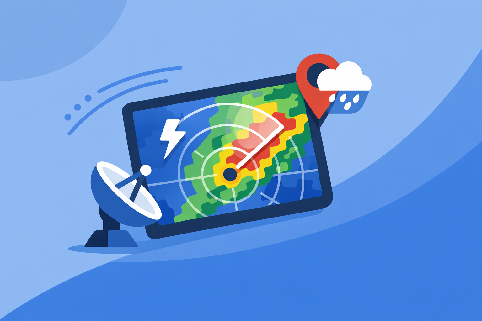
- Expect radar images to update every few minutes—“live” always has a short delay based on the underlying radar network. (windy.app)
What are your main options for live storm radar in the U.S.?
When you search for “live storm radar online,” you’re really choosing between two broad paths:
- Consumer apps with radar at the center – This is where Clime fits. At Clime, we focus the experience around a live radar map built on NOAA data, with layers for rain, lightning, hurricanes, and wildfires. (climeradar.com)
- Websites and apps from large weather brands or government agencies – Examples include the National Weather Service radar site, The Weather Channel’s Storm Radar app, and AccuWeather’s radar maps. (radar.weather.gov · weather.com · name.accuweather.com)
For most people, using Clime on mobile plus the NWS radar site on desktop covers nearly every storm‑tracking need, from “Do I need an umbrella?” to “Is that severe cell headed straight for us?”
How do you get live storm radar in a couple of taps with Clime?
Clime is built for the everyday “where is the storm right now?” question.
To access live radar in Clime:
- Install the Clime app from your app store (search for “Clime NOAA Weather Radar Live”). (apps.apple.com)
- Open the app; you land directly on an interactive radar map centered on your current location.
- Pinch to zoom and drag the map to follow storm cells as they move.
- Tap the timeline/animation control to watch the radar loop, so you can judge speed and direction.
On paid plans, you can enable severe weather and rain alerts, plus dedicated hurricane and lightning tracker layers—useful when you care about more than just basic reflectivity. (apps.apple.com)
Compared with many other platforms, Clime keeps the interface relatively focused: the radar is the main view, with hourly and 10‑day forecasts available when you need them, not cluttering the screen. (climeradar.com)
How do you access official NWS radar online for free?
If you prefer the raw government feed or want a second opinion during severe weather, the U.S. National Weather Service (NWS) maintains a free radar site at radar.weather.gov. (radar.weather.gov)
On desktop:
- Go to the NWS radar homepage.
- Search for your town or click the map to jump to a nearby radar.
- Use the controls to turn radar layers on/off and animate the loop, which also shows NWS forecasts and alerts on the same map. (radar.weather.gov)
On mobile:
- Open the same link in your phone browser.
- Use the “Weather for a location” style view and then save it as a home‑screen bookmark so it behaves like an app icon. (radar.weather.gov)
The NWS experience is less polished than consumer apps, but it’s authoritative, free, and works well alongside Clime when you want confirmation from the source.
How do The Weather Channel and AccuWeather fit into your radar toolkit?
Some readers are already using large‑brand weather apps and just want to understand how radar works inside them.
The Weather Channel / Storm Radar
- The main Weather Channel app includes radar plus a 15‑minute rain forecast up to several hours ahead, with “Advanced Radar” and extra layers on paid plans. (apps.apple.com)
- Its dedicated Storm Radar app focuses on storm and hurricane tracking, with interactive overlays and 6‑hour global future radar, so you can see a projected path instead of only past motion. (weather.com)
- A separate Premium Radar product converts high‑resolution radar into an easy‑to‑follow timeline with exclusive map layers under a subscription. (weather.com)
AccuWeather
- On the web and in the app, you can open your location and click the Radar tab to see an interactive map. (name.accuweather.com)
- A play button lets you watch past‑to‑future radar animation, giving a short‑range visual forecast from recent frames into the near future. (name.accuweather.com)
- AccuWeather also layers radar on top of its MinuteCast precipitation timing, which forecasts start/end of rain or snow for the next four hours at a very local level. (apps.apple.com)
If you already rely on these platforms for forecasts, their radar views are convenient. For many users, though, Clime’s radar‑first design plus alerts provides the same situational awareness with less interface complexity.
What does “live” storm radar really mean?
No consumer app shows radar with literally zero delay. All of them—including Clime, NWS, The Weather Channel, and AccuWeather—are built on radar networks like NEXRAD that scan the atmosphere on a schedule.
In practice, radar updates roughly every 5–15 minutes, depending on the radar mode and product. (windy.app) That data then has to be processed, composited, and delivered to your device.
What matters more than the marketing label “live” is:
- Update cadence (how often new frames appear)
- Animation smoothness (how easy it is to see motion)
- Layer context (lightning, alerts, hurricanes, wildfires, etc.)
At Clime, we focus on those outcomes: a smooth NOAA‑based radar loop, plus layers like lightning, hurricanes, and fire/hotspots so you can see not just where it’s raining, but what type of threat you’re dealing with. (climeradar.com)
How do you tell whether a radar service is free or paywalled?
When you access storm radar online, you’ll encounter a mix of free and paid experiences.
Usually free:
- NWS radar site (no account, no subscription; paid by taxpayers). (radar.weather.gov)
- Core radar loops in major apps and sites (you can typically see basic reflectivity with ads).
Often paid or tied to subscriptions:
- Extra map layers (future radar timelines, wind streams, specialized overlays).
- Ad‑free viewing and higher‑resolution or longer‑range forecasts.
- Enhanced alerting or more granular lightning/hurricane tracking. (weather.com · name.accuweather.com)
At Clime, we follow a similar pattern: the free experience covers live radar and essential forecasting, while paid plans unlock additional layers such as hurricane and lightning trackers, severe weather and rain alerts, wildfire maps, and an ad‑free view. (apps.apple.com)
For most people, that trade‑off is simple: start free, make sure the radar and alerts fit your needs, then decide whether advanced layers are worth it for your location and risk tolerance.
When should you pair Clime with other tools?
Most households can monitor storms comfortably with Clime alone. There are a few scenarios where pairing tools makes sense:
- You want official government confirmation – Use NWS radar alongside Clime during tornado outbreaks or major hurricanes so you’re seeing both the raw government map and a more polished, layered view. (radar.weather.gov)
- You like branded future‑radar timelines – If you enjoy seeing 6‑hour or longer projected paths with curated visuals, keep a tool like Storm Radar or AccuWeather open as a secondary reference, while Clime remains your main “open first” app. (weather.com · name.accuweather.com)
- You’re deeply into wind or marine sports – Combine Clime for storm and lightning awareness with a specialized marine app such as Windy.app for detailed wind and wave models. (apps.apple.com)
This layered approach avoids over‑reliance on any single map and keeps your primary experience simple.
What we recommend
- Use Clime as your default live storm radar: open it whenever you wonder what the sky is about to do.
- Bookmark radar.weather.gov in your browser for free, official U.S. radar to cross‑check during high‑impact events.
- Add one extra radar‑enabled app (Storm Radar, AccuWeather, or a marine‑focused tool) only if you truly use its specialized features.
- Remember that “live” always includes a short delay—focus on trends in motion and alerts, not individual frames, when making safety decisions.