How to Check Weather for Your Flight: A First-Time Flyer's Guide
As a first-time flyer, understanding how to check weather conditions for your flight is crucial for a safe and comfortable journey. Here's a step-by-step guide to help you navigate this process:
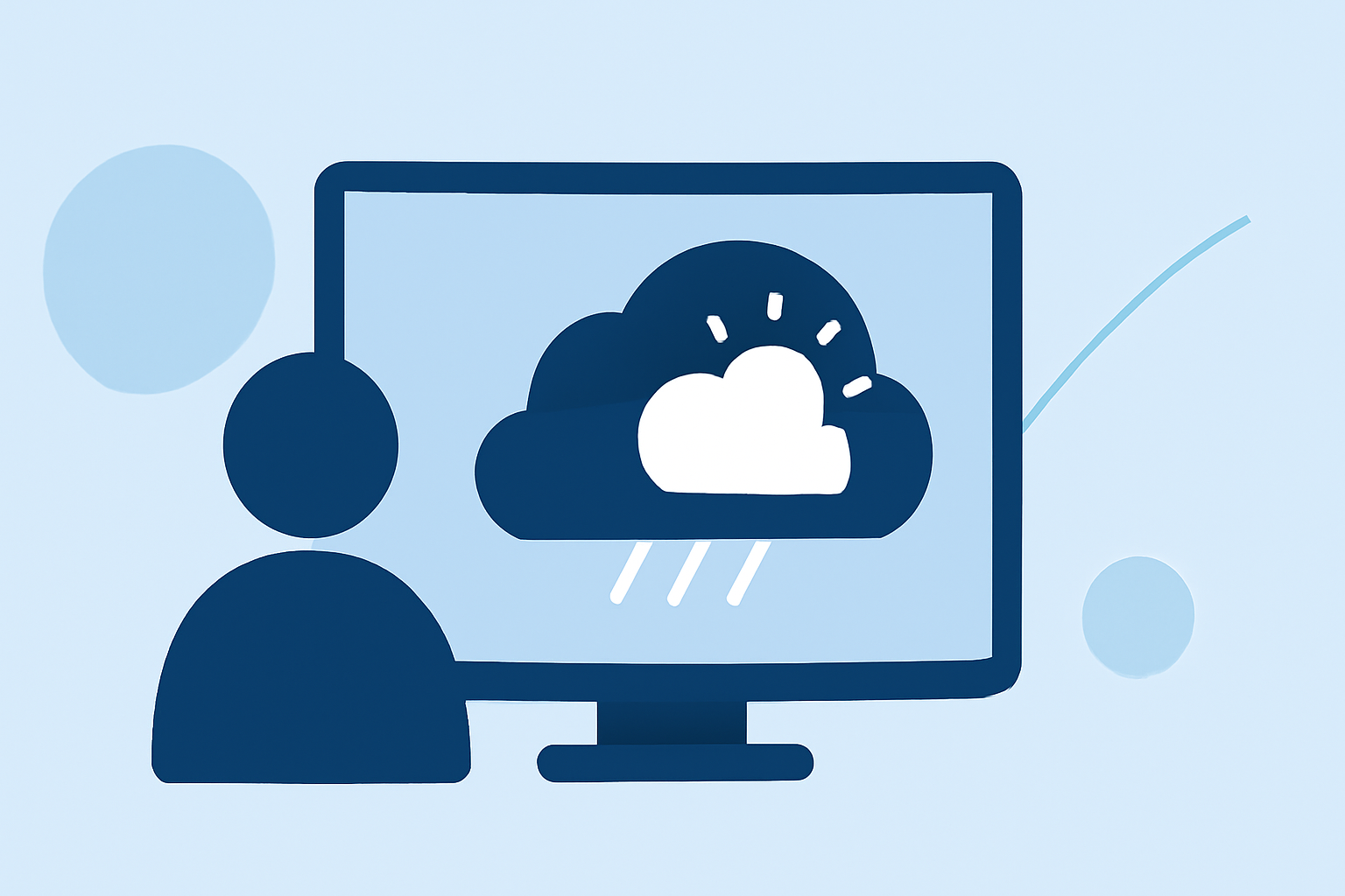
1. Why Is Checking Flight Weather Important?
Weather conditions can significantly impact flight safety and comfort. By staying informed, you can anticipate potential delays, turbulence, or other weather-related issues.
2. How to Access Flight Weather Information?
-
Aviation Weather Center (AWC): The AWC provides comprehensive weather information, including METARs (Meteorological Aerodrome Reports) and TAFs (Terminal Aerodrome Forecasts), which are essential for understanding current and forecasted conditions at airports.
-
Flight Chop: This platform offers real-time turbulence reports, weather alerts, and route assessments, helping you understand potential in-flight conditions. (flightchop.com)
3. What Are METARs and TAFs?
-
METARs: These are hourly weather observations at airports, providing details like temperature, wind speed, visibility, and cloud cover.
-
TAFs: These are forecasts for specific airports, detailing expected weather conditions over a 24-hour period.
4. How to Interpret METARs and TAFs?
Understanding these reports involves recognizing codes and abbreviations. For instance, a METAR might indicate "10SM" for visibility (10 statute miles), and a TAF might forecast "BECMG" (becoming) conditions. Resources like the Aviation Weather Guide can assist in decoding these reports.
5. What Are PIREPs, SIGMETs, and AIRMETs?
-
PIREPs (Pilot Reports): Real-time reports from pilots about in-flight conditions, such as turbulence or icing.
-
SIGMETs (Significant Meteorological Information): Alerts about severe weather phenomena like thunderstorms or volcanic ash.
-
AIRMETs (Airmen's Meteorological Information): Advisories about less severe but still significant weather conditions, such as moderate turbulence or icing.
Platforms like Flight Chop provide explanations and real-time data on these advisories.
6. How to Use Graphical Forecasts for Aviation (GFA)?
The GFA tool offers interactive weather maps, translating complex data into color-coded overlays. This visualization helps in quickly assessing conditions along your route. Access it at aviationweather.gov/gfa. (legalclarity.org)
7. How to Stay Updated with Weather Changes?
Weather conditions can change rapidly. Regularly checking updates from reliable sources ensures you're informed about any developments that might affect your flight.
8. How Can Planes Live Assist You?
Planes Live offers real-time flight tracking, allowing you to monitor your flight's progress and any in-flight weather conditions. This service provides up-to-date information, enhancing your awareness and peace of mind during your journey.
By following these steps and utilizing available resources, you can effectively check and understand the weather conditions for your flight, ensuring a safer and more comfortable experience.