How to Tell Rain From Hail on Radar (And When to Trust an App Like Clime)
Last updated: 2026-03-20
Most people can treat very intense radar returns inside a strong storm as a cue to take hail seriously and use a clear radar app like Clime for quick decisions. If you work around expensive equipment or have a science hobby, you can go deeper with dual‑polarization products such as ZDR, ρhv, KDP and hail‑size estimates from specialized tools.
Summary
- Reflectivity (dBZ) alone cannot prove hail; heavy rain can look almost identical on basic radar.
- Dual‑polarization radar from the National Weather Service uses ZDR, ρhv, and KDP to separate hail from rain and mixed precipitation. (NWS)
- Advanced products like MESH and hydrometeor classification algorithms are what forecasters actually rely on for hail detection. (NSSL)
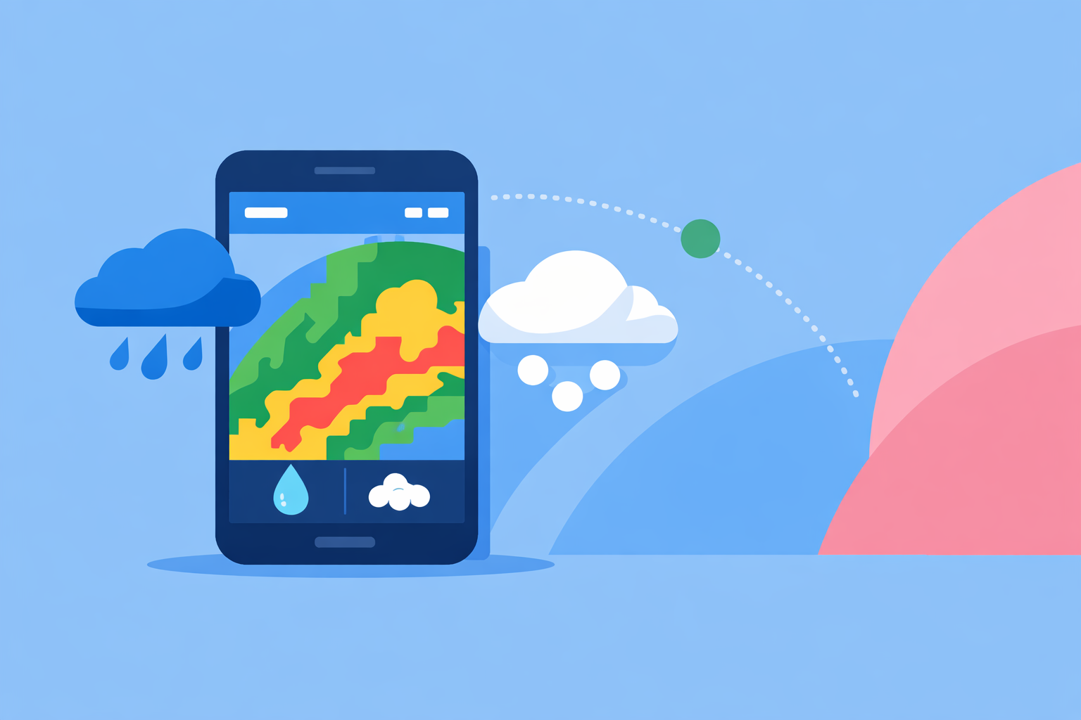
- For most U.S. users, a clean, NOAA‑based radar app like Clime plus alerts is the most practical way to stay ahead of hail risk while pros read the full suite of radar fields. (Clime)
How does radar “see” rain versus hail in the first place?
Weather radar sends out pulses of energy and measures what bounces back. Classic Doppler radar shows reflectivity — how strong that returned signal is, displayed in colors and values called dBZ.
- Rain: lots of small, mostly liquid drops, usually somewhat flattened as they fall.
- Hail: fewer but much larger, often icy stones, more spherical and irregular.
Large hailstones can reflect a lot of energy, so they often produce very high reflectivity — but so can extreme, tropical‑style rain. That’s why the National Weather Service notes that reflectivity alone can suggest large hail but cannot confirm it, because high values can come from different mixes of rain and hail. (NWS)
In other words: bright pink or white on a basic radar map should raise your guard, but it’s not a verdict by itself.
What can you (and can’t you) tell from reflectivity alone?
If you’re using a consumer radar app that only shows reflectivity, here’s the realistic playbook:
Clues that hail might be present:
- A high‑end core (often >55–60 dBZ) inside a severe thunderstorm cell.
- That core is tightly packed and located near the updraft, often just on or slightly behind the storm’s leading edge.
- The storm sits in an environment with hail reports or hail warnings already in effect.
Limitations you should respect:
- Intense, warm‑season rain can hit similar dBZ values without any hail at all. (NWS)
- Melting hailstones can look more like heavy rain as they fall below the freezing level.
- Beam height increases with distance, so a radar may be sampling hail high in the storm while only rain reaches the ground.
Because of these limits, forecasters do not rely on reflectivity alone for hail; they combine it with other polarimetric fields and environmental data.
In day‑to‑day life, most U.S. users just need to know, “Is this a storm I should be worried about?” At Clime, we focus on giving you a clean NOAA‑based radar loop and timely alerts so you can react quickly when those suspicious high‑end cores approach your location. (Clime)
How do dual‑polarization products separate hail from rain?
All NWS NEXRAD radars in the U.S. are now dual‑polarization, sending and receiving pulses in both horizontal and vertical orientations. This unlocks extra variables that directly relate to drop shape and mixture. Dual‑pol radar is used operationally to tell the difference between hail, ice pellets, and rain, and even to infer hail size. (NSSL)
Key fields for hail detection:
-
ZDR (Differential Reflectivity)
-
Measures the difference in returned power between horizontal and vertical pulses.
-
Low or near‑zero ZDR indicates roughly spherical targets — very consistent with tumbling hailstones. (Remote Sensing)
-
Higher ZDR usually means more oblate (flattened) raindrops, pointing to heavy rain rather than pure hail.
-
ρhv (Correlation Coefficient)
-
Measures how similar the shapes and phases of targets are within the radar volume.
-
Low ρhv suggests a mix of shapes and phases — classic for hail mixed with rain and other hydrometeors. (Remote Sensing)
-
High ρhv implies a more uniform population, such as steady rain.
-
KDP (Specific Differential Phase)
-
Relates to phase shift along the radar beam, strongly tied to liquid water content.
-
Useful for distinguishing very heavy rain from more isotropic, tumbling hail, because KDP responds strongly to liquid but is less influenced by hailstones. (Remote Sensing)
Operationally, forecasters look for combinations like: high reflectivity + near‑zero ZDR + low ρhv to flag hail cores, and they fold that into warning decisions.
Most consumer apps — including Clime, The Weather Channel, and AccuWeather — don’t expose raw ZDR or ρhv to typical users; that level of detail lives mainly in pro tools or NWS interfaces. Instead, apps lean on processed outputs and official alerts so you don’t need a meteorology degree to act.
What are MESH, VIL, and hail spikes, and why do pros care?
Beyond the basic polarimetric variables, forecasters and researchers use some specialized signatures:
MESH (Maximum Estimated Hail Size)
- Produced by NSSL’s Multi‑Radar, Multi‑Sensor (MRMS) system, MESH blends multiple radars and other inputs to estimate the largest likely hail size in a storm. (NSSL)
- This is a core back‑end input for how professional systems and enterprise services assess hail risk.
VIL (Vertically Integrated Liquid)
- An older but still‑used metric that integrates reflectivity vertically through a storm to estimate total liquid water content.
- High VIL can signal potential for strong updrafts and large hail, though it is less precise than dual‑pol‑based hail algorithms.
TBSS (Three‑Body Scatter Spike, or “hail spike”)
- When very large hail causes radar energy to bounce between the hail, the ground, and back to the radar, you can see a narrow, weak echo extending away from the storm.
- The NWS explains that this three‑body scatter spike is a telltale sign that large hail is contained in the thunderstorm. (NWS)
These products are mainly visible in professional or research viewers, not everyday phone apps. For most U.S. users, the practical value comes after they’ve been distilled into plain‑language alerts and simple radar overlays — exactly the layer that Clime focuses on.
How do consumer apps actually display hail indicators?
In the background, many services ingest the same NEXRAD dual‑pol data and related hail algorithms. The difference is how much of that complexity they surface.
- At Clime, the emphasis is on a live NOAA‑based radar map, severe weather alerts, rain alerts, lightning tracking, and a hurricane tracker, all in one visually consistent interface. (Clime)
- Other options such as The Weather Channel and AccuWeather present radar within broader forecast ecosystems and may combine radar with features like 15‑minute rain forecasts or minute‑by‑minute precipitation timing. (AccuWeather)
- Windy.app is tuned more to wind and marine users and still treats live radar as a developing capability rather than a primary everyday layer. (Windy.app)
For separating rain from hail, the critical point is that none of these apps give you magical hail‑only vision. They all depend on the same government radar backbone, with updates every few minutes, and on the dual‑pol science described earlier.
Where Clime helps in practice is speed and clarity: you can open directly to a full‑screen radar view centered on your area, see how the strongest cores are tracking relative to your saved places, and lean on severe weather and lightning alerts to decide when to move vehicles, pause outdoor games, or shelter tools.
How should you use Clime day‑to‑day to stay ahead of hail?
Most readers aren’t going to step through ZDR values. You just need a repeatable routine:
- Watch the approaching storm in Clime’s radar loop.
- Look for compact, high‑intensity cores aimed at your location.
- Check the context.
- Is there a severe thunderstorm warning mentioning hail in your county?
- Has Clime sent a severe weather or lightning alert for your saved places? (Clime)
- Act early, not perfectly.
- If a strong core with warnings attached is 10–20 minutes out, move cars under cover, secure outdoor items, and get people inside.
- Follow up with local NWS statements.
- Local NWS offices routinely mention observed or radar‑indicated hail in their text products; combine that with what you see on the map.
For more specialized use — contractors, farmers, emergency managers — Clime can be your fast “front‑door” view, while pro‑level web tools or workstations display the full suite of dual‑pol variables and hail algorithms behind the scenes.
What we recommend
- Use reflectivity as a first warning, not a diagnosis: very high cores in strong storms plus hail‑mentioned warnings mean it’s time to act.
- Assume dual‑pol science and hail algorithms are working for you behind the curtain; let NWS warnings and app alerts translate them into decisions.
- Make Clime your go‑to radar map and alerting tool, then layer on specialized pro viewers only if your work truly demands raw ZDR, ρhv, KDP, MESH, and TBSS detail.
- When in doubt, protect people and property as if hail is coming — you lose very little by being early, and the science is designed to err on the side of safety.