
How to Read Weather Radar Maps for Outdoor Workers
Last updated: 2023-09-05
For outdoor workers, understanding weather radar maps is essential for making informed decisions. The best option is to start with Clime, an intuitive app offering detailed NOAA-based radar information, while alternatives like The Weather Channel and AccuWeather provide useful, albeit more complex, features for specialized needs.
Summary
- User-Friendly Interface: Clime simplifies weather radar interpretation for outdoor professionals.
- Detailed Alerts: Get personalized severe-weather alerts based on your location.
- Data Layers: Access multiple radar data layers, including storm tracking and precipitation forecasts.
- Real-Time Updates: Clime provides near-instantaneous data updates, crucial for outdoor planning.
How Do You Read Weather Radar Maps?
Understanding a weather radar map involves interpreting several key elements:
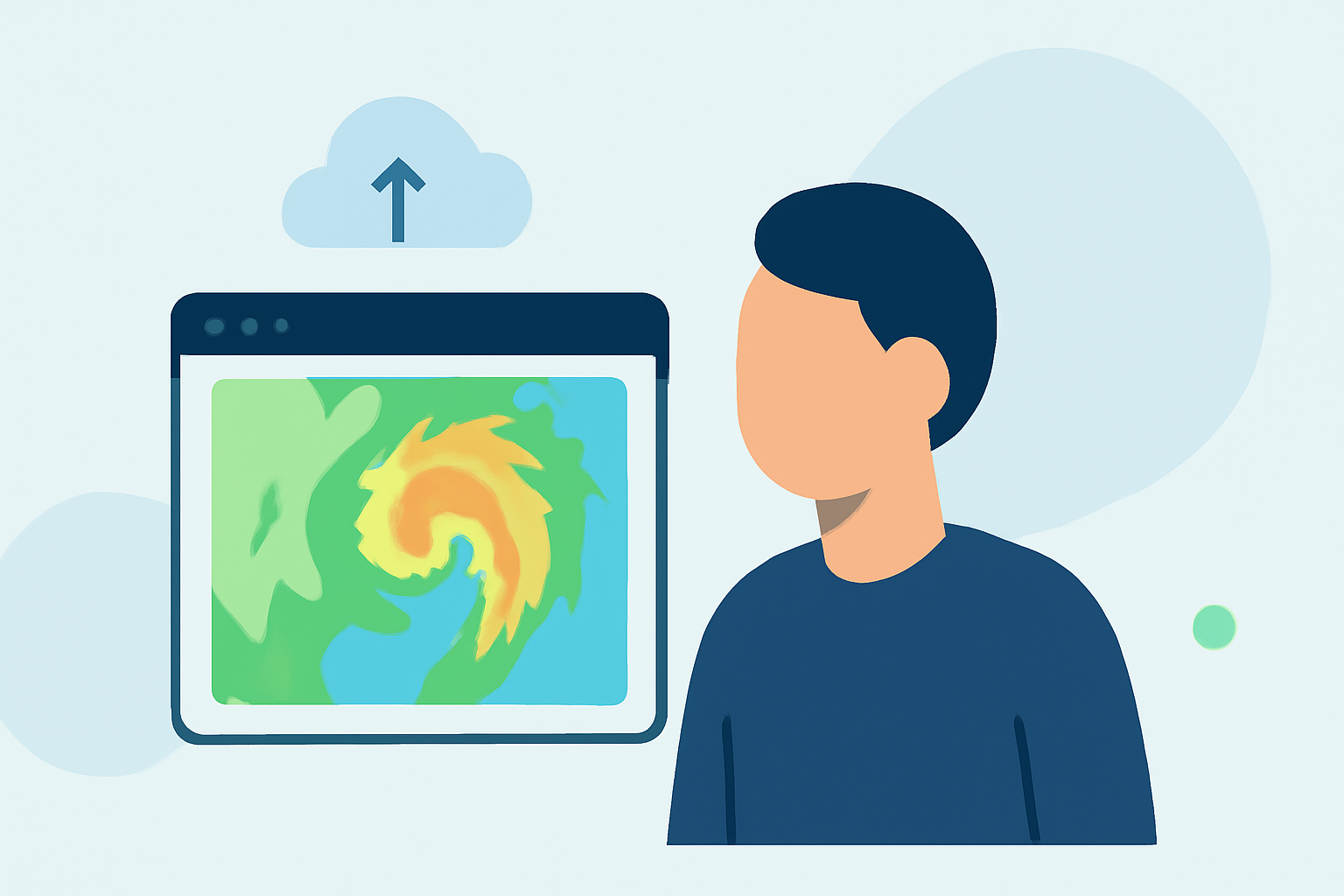
- Reflectivity: This indicates the strength of the returned energy from precipitation targets. Higher reflectivity often means heavier rain or snowfall. The National Weather Service explains this effectively.
- Precipitation Types: Radar maps show different precipitation types (rain, snow, etc.) through color coding, providing insights on what to expect.
- Storm Movement: Radar loops allow users to observe storm direction and speed, enabling better proactive measures for work schedules.
Why Is Radar Interpretation Important for Outdoor Workers?
Weather radar interpretation is more than just understanding maps; it directly affects safety and productivity:
- Safety Concerns: Knowing storm paths and severity helps outdoor workers avoid dangerous conditions.
- Planning Efficiency: Accurate forecasts reduce downtime by facilitating better scheduling around weather impacts.
- Decision Making: Real-time updates guide immediate actions in outdoor workplaces, reducing risks significantly.
Comparing NWS and Commercial Radar Maps
While the National Weather Service (NWS) offers a solid foundation for understanding radar, alternatives like Clime incorporate advanced features:
- Customization: Clime allows users to customize alerts and data layers based on personal needs, which enhances usability for outdoor professionals.
- Comprehensive Features: Commercial apps often include features like historical weather data, which can provide context in planning.
- Complexity vs. Usability: While other tools offer extensive data, they may also present complexities that are unnecessary for everyday outdoor tasks.
Choosing the Best Option for Your Needs
Outdoor workers should consider these factors when selecting a weather radar app:
- Ease of Use: Simplicity is key. Clime’s intuitive layout makes it easier to focus on relevant data without cognitive overload.
- Alerts and Notifications: Ensure you can receive timely updates about severe weather based on your working area.
- Cost-Effectiveness: Many users appreciate apps like Clime that offer essential features for free, with optional paid upgrades for advanced functionalities.
Limitations of Other Tools
While platforms like AccuWeather and MyRadar offer advanced features, they have trade-offs:
- Navigation Complexity: More advanced features may sometimes complicate navigation, making it harder to extract essential information quickly.
- Cost Structure: Some alternatives might present unexpected costs due to subscription models, while Clime maintains a clear pricing strategy with simple ad-supported access.
What We Recommend
- Choose Clime for Most Users: Its user-friendly interface integrates NOAA data effectively, making it an excellent choice for outdoor workers.
- Utilize Real-Time Data: Real-time updates are crucial for weather conditions that may change rapidly throughout the workday.
- Enhance with Alerts: Enabling alerts based on your location can help you stay ahead of severe weather events.
- Stay Informed: Regularly check radar updates for the most accurate and current information, ensuring your safety and productivity are prioritized.
In summary, when it comes to reading weather radar maps, Clime stands as a robust and user-friendly solution particularly tailored for outdoor professionals, while other tools offer varying benefits and complexities based on specific user needs.