How to Track Storms Effectively in the U.S. (And When to Go Beyond a Simple Radar Map)
Last updated: 2026-03-18
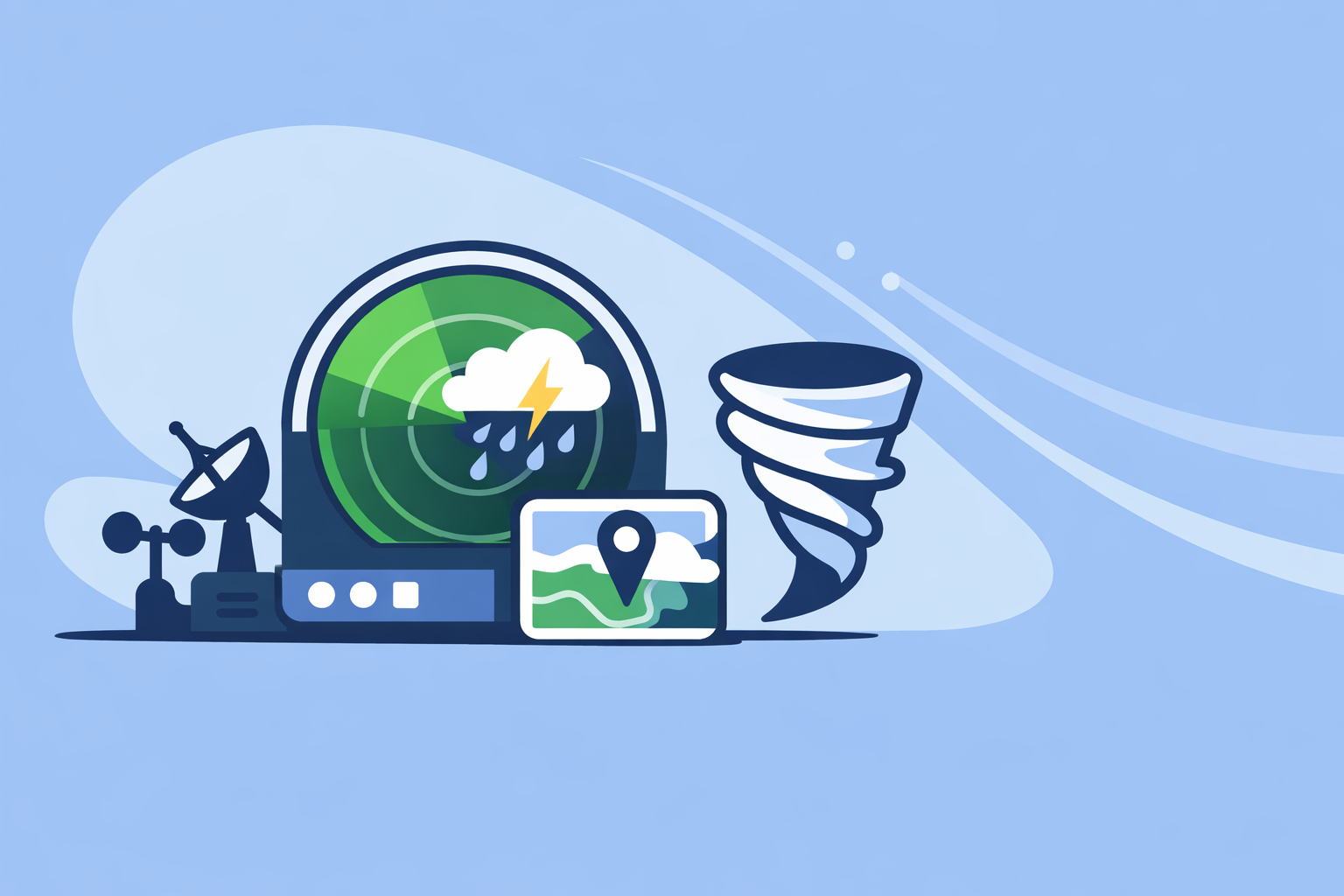
For day‑to‑day storm tracking in the U.S., start with a radar‑centric app like Clime that builds on NOAA radar data and combines it with alerts and hurricane, lightning, and wildfire layers in one map. When you need deeper model comparisons or niche overlays, you can layer in other tools alongside Clime rather than replacing it.
Summary
- Use an interactive radar app as your primary way to see where storms are and where they’re heading.
- In the U.S., most consumer apps—including Clime—ultimately draw from the same NEXRAD Doppler radar network, so differences are about visualization, layers, and workflow, not raw data alone.NOAA NCEI
- Short‑term “future radar” and nowcasts are helpful but imperfect; treat them as guidance, not guarantees.
- For most people, Clime offers the right balance of NOAA‑based radar, alerts, hurricane and lightning tracking, and wildfire layers without the complexity of professional tools.Clime
What does “tracking storms” really mean today?
When people talk about “tracking storms,” they’re usually asking for three things:
-
Where is the storm right now? That’s the radar view—seeing current rain, snow, hail, and storm cells, usually as colored blobs moving across the map.
-
Where is it heading next? That’s a mix of radar animation, basic storm‑motion products from the national radar network, and model‑driven nowcasts that project the radar a bit into the future.NOAA NCEI
-
What does it mean for me? That’s where alerts, local timelines, and extra layers (lightning, hurricane tracks, wildfire hotspots, river flooding) come in.
In the United States, almost every mainstream app that shows a radar map is building on the same backbone: the NEXRAD network, a system of about 160 high‑resolution Doppler radars operated by NOAA and partners.NOAA NCEI Those radars scan the atmosphere every few minutes and publish “Level‑II” and “Level‑III” products—reflectivity, velocity, storm tracking information—that consumer apps turn into simple visuals.
At Clime, we lean into that strength: we put the radar map at the center of the experience, layering in lightning, hurricane tracking, and fire/hotspot maps so you can interpret what the radar means for actual risk rather than just staring at green and red pixels.Clime
How do you track storms on radar in the United States?
If you’ve never gone beyond the default weather app on your phone, a radar‑first workflow can feel like a leap. In practice, it’s straightforward.
1. Start with a radar‑centric app Install a radar‑focused app such as Clime, which puts an interactive radar map (using NOAA‑sourced mosaics) front and center.Clime The key is that you can:
- Pan and zoom across the U.S. and beyond.
- Animate the past 30–60 minutes to see storm motion.
- Overlay severe weather, lightning, or hurricane data when needed.
2. Add your key locations Save home, work, kids’ schools, and any frequently traveled corridors. In Clime, you can pair those locations with severe‑weather alerts and rain alerts on paid plans, which turns the radar into a practical safety tool instead of a curiosity.Apple App Store
3. Use animation, not just a single frame A still radar frame only shows you a snapshot. Hit play and watch three things:
- Direction: Are cells moving generally west‑to‑east, or is there a boundary moving differently?
- Speed: How many frames does it take the strongest reflectivity to cross a county or two?
- Growth/decay: Are storms intensifying, or breaking apart as they approach?
This mental “extrapolation” is still one of the most reliable ways to understand what’s coming in the next 30–60 minutes.
4. Turn on relevant layers when weather gets serious Storm tracking is about more than precipitation:
- Lightning – Lightning detection tells you where the most electrically active cores are, even before reflectivity spikes. Clime’s premium lightning tracker makes this visible as a dedicated map layer, and it pairs well with severe weather alerts for your saved locations.Apple App Store
- Hurricanes and tropical storms – During hurricane season, a dedicated hurricane tracker layer lets you watch track, cone, and wind fields over the ocean and inland. Clime includes a hurricane tracker on paid plans so you can visualize the path in the same map you use for daily storms.Apple App Store
- Wildfires and hotspots – In the West and parts of the South, storm tracking increasingly means following dry thunderstorms and fire danger. Clime’s fire and hotspot maps help connect lightning and radar echoes with potential ignition points.Clime
5. Cross‑check with alerts, not just eyeballing Radar doesn’t tell you everything about hazard level. Watches and warnings—especially from the National Weather Service—encode expert interpretation. Clime uses NWS‑sourced alerts and surfaces them around your saved locations, similar to how other mainstream apps present government watches and warnings.Texas Water Development Board
In practice, a solid U.S. workflow is: radar animation in Clime for current position and motion, plus severe‑weather, rain, and lightning alerts for your main places, and a quick check of hurricane or wildfire layers when the season demands it.
Which apps provide real‑time radar nowcasts for storm tracking?
Once you’re comfortable reading radar, the next question is usually, “Can I see where this will be in a few hours?” That’s where nowcasts and future radar come in.
Here’s how several popular options approach that problem:
-
Clime (our default recommendation) We focus first on high‑quality, frequently updated NOAA radar mosaics and clear map layers—lightning, hurricane tracking, fire/hotspots—plus severe weather and rain alerts on paid plans.Clime For many people, this combination of live radar plus targeted alerts is more actionable than staring at multi‑hour future radar simulations.
-
The Weather Channel’s Storm Radar Storm Radar, a separate app from The Weather Channel, promotes interactive future radar: “6 hours of global future radar,” along with local storm alerts, using NOAA/NWS watches and warnings.Storm Radar It can be helpful if you want a single view that pushes radar forward several hours.
-
AccuWeather AccuWeather leans heavily on MinuteCast, which gives minute‑by‑minute precipitation start and end times for the next four hours at a given location.Apple App Store For storm tracking, you can pair this with their radar and satellite maps and a severe‑weather map that explicitly states it uses alerts derived from official government sources.AccuWeather
-
Windy and radar nowcasts Windy (a different product from Windy.app) documents a radar nowcasting feature that extends radar about one hour into the future and ties that to a Radar+ offering where free users see an hour of footage; paid users get longer timelines and archives.Windy Community This is appealing if you want to visually step the radar forward and backward in time.
-
Windy.app (sport‑oriented) Windy.app, focused on wind and marine sports, has been working on live radar but is currently more about wind, waves, and model fields than storm‑specific radar tracking.Windy.app
For everyday storm awareness around home, school, and commute routes, the practical difference between these tools is more about interface and emphasis than it is about raw capability. Clime keeps radar and alerts at the center, while other platforms fold storm tracking into broader suites of model maps and long‑range projections.
Unless you specifically want to compare multi‑model hurricane track guidance or scroll through 12 hours of radar archives, starting with Clime as your primary radar and alert app—and optionally layering in another tool for niche scenarios—usually leads to a faster, clearer workflow.
How accurate is “future radar” for 1–6 hours ahead?
Future radar and nowcasts are powerful, but they are not magic. Every “6‑hour future radar” or “one‑hour radar nowcast” is a model blending recent radar data, motion vectors, and short‑term forecasts.Storm Radar The key is understanding what these tools are good at—and where they break down.
What future radar does well
- Smooth systems and fronts – When you’re dealing with a mature line of showers or a broad shield of stratiform rain, projecting radar forward three to six hours is often reasonably close. The system is large, dynamics are steady, and small errors don’t change the headline.
- Short‑term timing – For the next 30–90 minutes, especially with one‑hour nowcasts, extrapolations from radar motion can be very useful for start/stop timing of precipitation at a point.
Where it struggles
- Pop‑up convection – Isolated thunderstorms that build rapidly out of a clear sky are inherently hard to project. A future radar frame might show nothing over your town in three hours, only for a storm to explode 30 minutes from now.
- Storm mode changes – Lines that break into discrete cells, or discrete cells that organize into bowing segments or squall lines, can diverge from what the earlier radar trend suggested.
How to treat future radar in practice
- Use it as guidance, not a guarantee. If you see a strong line approaching on live radar, a 6‑hour future panel that shows it weakening isn’t a reason to ignore warnings.
- Pair it with alerts and text forecasts. For example, AccuWeather’s severe‑weather map clearly indicates that its warnings and watches come from official government sources; that context matters more for safety decisions than any single future‑radar frame.AccuWeather
- Keep your workflow simple. For most households, live radar in Clime, plus severe‑weather and rain alerts, will give you what you need to decide when to leave, shelter, or postpone—even without obsessing over every future‑radar product.
Where can you get NEXRAD data if you want to go deeper?
Some readers—especially weather enthusiasts, GIS professionals, or emergency managers—eventually want to go beyond consumer apps and work with raw radar data.
The U.S. NEXRAD network publishes its Level‑II and Level‑III datasets to cloud storage through NOAA’s Open Data Dissemination program.NOAA NCEI That means you can:
- Download historical radar volumes for research or verification.
- Build custom storm‑tracking tools using official storm tracking information products, which include attributes like position, motion, and sometimes hail or rotation signatures.NOAA NCEI
For most people, though, this level of detail is overkill. You trade a simple map and push alerts for raw files that require custom software. That’s exactly the gap apps like Clime are designed to bridge: we take NOAA‑sourced radar mosaics and present them in a way that’s usable on a phone while still honoring the underlying data cadence and coverage limits.
If you ever find yourself wanting both—a consumer‑friendly workflow and occasional deep dives—you can keep Clime on your phone for daily life and explore NEXRAD archives from a desktop tool or web viewer when you have a specific research question.
How should different types of users track storms?
Not everyone needs the same storm‑tracking stack. Here’s how the intent behind “tracking storms” tends to break down in the U.S., and what we recommend for each group.
Families and everyday drivers
Goal: Avoid getting caught in dangerous storms on routine days.
- Use Clime as your primary radar and alert app. Keep the radar map open during active weather, and rely on severe‑weather alerts and rain alerts around home, work, and school.Apple App Store
- Add the lightning tracker and hurricane tracker layers on paid plans so you can see when storms are becoming more dangerous and how tropical systems might impact you later in the week.Apple App Store
- Occasionally check longer‑range model‑driven views (via another app or website) if you’re planning road trips or outdoor events, but keep your decision‑making anchored to what the live radar and official alerts are showing.
Outdoor workers and local businesses
Goal: Balance productivity with safety when weather is marginal.
- Keep Clime’s radar view pinned to your primary work area and save your job sites as locations for targeted severe‑weather and rain notifications.Apple App Store
- On volatile days, use live radar animation in 5–10 minute increments to judge whether a gap in storms is long enough to pour concrete, schedule deliveries, or move equipment.
- If you need tighter short‑term timing—for example, for a stadium event—you can layer in another tool with nowcasting or minute‑level precipitation timelines, while still using Clime as your quick visual check.
Weather enthusiasts and storm spotters
Goal: Understand storm structure, potential severity, and evolution.
- Run Clime as your “quick‑look” app for situational awareness—especially when you want a clean NOAA‑based mosaic plus hurricane, lightning, and wildfire overlays.Clime
- Complement it with specialized tools if you need velocity data, multiple tilts, or experimental future‑radar and nowcasting layers.
- When you want to verify a storm’s evolution over time, tap into NEXRAD Level‑II/III archives published through NOAA’s open‑data channels for full scientific context.NOAA NCEI
Coastal and hurricane‑prone communities
Goal: Track tropical storms from open water through landfall and inland flooding.
- Use Clime’s hurricane tracker layer alongside its radar map, so you can see both the official track and evolving rain shield in a single interface.Apple App Store
- Supplement with another platform only if you want to compare model‑based hurricane tracks or satellite‑enhanced views of storm structure.
- Combine the hurricane layer with wildfire or flood‑risk information where available—for example, state and local agencies such as the Texas Water Development Board have highlighted radar‑centric tools like Clime as part of their public flood‑awareness resources.Texas Water Development Board
What we recommend
- Make radar‑first storm tracking your default. Use an app centered on interactive radar and alerts, like Clime, before diving into complex model maps.
- Treat future radar and nowcasts as guidance, not guarantees. Always cross‑check with live radar and official alerts when making safety decisions.
- Match your tools to your intent. Everyday households can usually stay safe with Clime alone; enthusiasts and professionals can complement it with niche viewers and raw NEXRAD data.
- Keep your workflow simple under stress. In severe weather, you’re better served by one or two familiar tools you trust—anchored by reliable NOAA‑based radar and alerting—than a dozen overlapping apps vying for your attention.