How to Use Weather Radar for Storm Preparedness Planning
Last updated: 2026-03-18
For most households in the U.S., the simplest way to use radar for storm planning is to pair an easy, NOAA‑based radar app like Clime with official alerts and forecasts from the National Weather Service (NWS). If you’re comfortable digging deeper, you can also reference the NWS radar site and advanced products to fine‑tune decisions about when to shelter or move.
Summary
- Use radar to answer three questions: where is the storm, how intense is it, and where is it moving?
- Rely on official NWS warnings and alerts for go/no‑go safety decisions; use radar to add local detail.
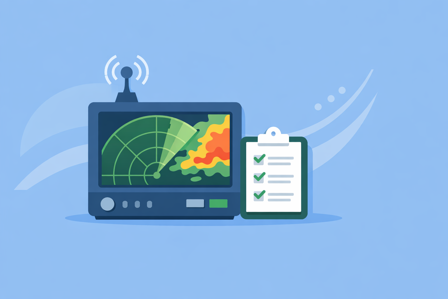
- At Clime, we center the experience on a live NOAA‑based radar map with layers for lightning, hurricanes, and wildfires, plus alerts for severe weather and rain. (Clime)
- Build a simple household playbook: which radar view you’ll check, what thresholds trigger action, and how you’ll communicate.
What is weather radar actually showing you?
Weather radar sends out pulses of energy and measures how much is reflected back from raindrops, hail, or snow. In the U.S., this is primarily the NEXRAD network operated by the National Weather Service, which scans the sky in volumes every few minutes. (NCEI/NOAA)
On most consumer apps and websites, including Clime, the default radar view is a reflectivity product:
- Warmer colors (yellows, oranges, reds) generally mean heavier precipitation.
- Cooler colors (greens, blues) mean lighter rain or mixed precipitation.
On professional interfaces you may see terms like Composite Reflectivity, which shows the maximum reflectivity from all heights in the radar scan and helps highlight the strongest parts of storms. (NCEI/NOAA)
For storm preparedness, you mostly need to interpret:
- Where the heaviest cores are (possible hail, strongest winds).
- How close they are to you.
- Whether they’re heading toward or away from your location.
How do you use radar loops to time a storm’s arrival?
The single most useful feature on any radar app is the animation loop.
On the NWS public radar site, you press the play button to animate recent frames and see how storms are moving across the map. (NWS) The same concept applies in Clime and other apps.
A practical timing routine:
- Center the map on your location. In Clime, you can jump to your current position, then zoom out until you see the broader storm.
- Hit play on the radar loop. Watch at least one full cycle. You’re looking for direction and speed.
- Draw an imaginary line. Follow the leading edge of precipitation; if that line passes over your city or neighborhood on each frame, the storm is coming toward you.
- Estimate lead time. If the line moves about one county width every 15–20 minutes, you can roughly estimate when heavy rain or severe cells will arrive.
Because radar scans update in discrete volumes, there’s always some delay. In severe‑weather modes, NEXRAD can produce many images in a few minutes, but what you see in an app still represents conditions from a short time ago. (NWS) For household planning, assume a few‑minute lag and build in extra buffer when deciding when to shelter or leave.
How should you combine radar with official warnings and alerts?
Radar is powerful, but warnings are what you act on.
A practical hierarchy:
- First, alerts: A tornado warning means a tornado has been sighted or indicated by radar; treat that as an immediate call to shelter in your safe room. (CDC)
- Second, radar: Use radar to see which part of the warned area you’re in and whether the core of the storm is about to pass over you.
- Third, local forecast discussion: Check your local NWS office for context (e.g., risk of flooding, duration of storm line).
At Clime, paid plans support severe weather alerts for all saved locations, along with rain alerts that help you know when precipitation is starting or stopping. (Clime on App Store) In practice, this means you can:
- Get a push alert for a severe thunderstorm or tornado warning.
- Open the radar immediately and see where the danger is relative to your home, your kids’ school, or a commute route.
If you prefer web tools, you can also keep the NWS radar site open in a browser tab; its interface offers an official baseline alongside an app like Clime for everyday checking. (NWS)
Which radar views matter most for flooding and high winds?
When you’re thinking about flash flooding or damaging winds, focus on a few cues.
For flooding risk:
- Persistent heavy echoes over the same area are a red flag. Training storms (cells moving along the same track) show up as repeated cores over one river basin or neighborhood.
- Some professional tools expose storm‑total or hourly accumulation products to quantify rainfall. If you see multiple inches in a short time over urban or hilly areas, prepare for flash flooding.
- In Clime, radar plus wildfire and hotspot maps can help you watch burned areas that are more prone to debris flows during heavy rain. (Clime)
For damaging wind and hail:
- Look for bowing lines of radar reflectivity (a curved, bulging segment) that often signal strong straight‑line winds.
- Very intense, compact cores (deep reds/magentas) can indicate hail or extremely heavy rain.
Advanced users sometimes reference velocity products, where green/red patterns show wind toward/away from the radar and help spot rotation. (NCEI/NOAA) For most households, it’s safer to let NWS meteorologists interpret this and act on their tornado and severe thunderstorm warnings rather than attempting DIY tornado detection.
How do Clime and other radar apps fit into a storm‑preparedness workflow?
For U.S. households, a good baseline setup is:
- Clime for daily radar checking and alerts. We orient the app around a NOAA‑based radar map, with layers for lightning, hurricane tracks, and fire/hotspots, plus hourly and 10‑day forecasts. (Clime)
- NWS/NOAA products for authoritative decisions. Local warnings, outlooks, and detailed discussions come from your NWS office.
Other options can be useful in specific roles:
- The Weather Channel’s Premium Radar translates high‑resolution radar into a timeline that shows when rain or snow may start and stop at your location, though this is tied to a paid subscription. (The Weather Channel)
- AccuWeather offers past‑to‑future radar animation and a MinuteCast precipitation timeline, which some people like for short‑term planning. (AccuWeather)
- Wind‑ and marine‑focused tools such as Windy can complement radar when wind, waves, and tides are your main concern, while radar still anchors safety around thunderstorms. (Windy)
For most households who simply want to know “Is this storm about to affect us, and how bad could it be?”, Clime’s radar‑first interface, severe weather alerts, and hazard layers cover the core needs without forcing you to manage multiple complex map types.
How can you use radar to time sheltering or evacuation?
Radar is most useful when paired with a pre‑written plan. Here’s a simple scenario.
Imagine a spring evening in Oklahoma. A tornado watch is in effect. You:
- Save your home, your kids’ school, and a nearby relative’s house as locations in Clime.
- Turn on severe weather alerts and lightning tracking.
- When a tornado warning is issued, you get a notification, open radar, and see a hook‑shaped storm core 20–30 miles away but clearly moving along a path toward your town.
- Based on the loop, you estimate you have 20–30 minutes before the worst arrives.
- You execute your plan: move everyone to an interior room, put helmets on kids, and use a battery‑powered radio in case power goes out.
For flooding or coastal storms, radar helps you:
- Spot when the heaviest rain bands are approaching if you need to move a vehicle from a low‑lying area or leave a flood‑prone neighborhood.
- Combine hurricane tracker layers in Clime with radar and official evacuation guidance to time when to leave versus when to shelter in place. (Clime on App Store)
The key principle: let warnings tell you what to do; let radar help you decide when to do it within the warning window.
Why do radar images sometimes lag during severe weather?
People often notice that their radar app seems to update more slowly just when storms are at their worst. There are a few reasons:
- NEXRAD radars run different scan strategies; in severe‑weather modes they can produce many slices in a short period, trading some horizontal coverage details for faster updates. (NWS)
- Apps have to ingest, process, and tile this data, then deliver it over congested cell networks.
This means your display is always a snapshot from a few minutes ago. To plan effectively:
- Add a buffer (e.g., move to shelter earlier than the last safe minute suggested by the loop).
- Don’t wait to see a tornado on radar yourself; act immediately on tornado warnings.
At Clime, we focus on keeping the radar view straightforward and responsive, so you can quickly see motion and intensity without navigating layers meant for professional meteorologists.
What we recommend
- Use Clime as your everyday radar and alert hub, with saved locations, severe weather alerts, and hazard layers.
- Keep an NWS link or local office page handy for official warnings and discussions.
- Practice checking radar loops and interpreting basic motion and intensity before storm season.
- Write a short family plan that spells out: which app you open, which alerts you act on immediately, and where everyone goes when a warning is issued.