
Hurricane Evacuation Routes: What You Need to Know
Last updated: 2023-09-28
Understanding hurricane evacuation routes is crucial for safety during hurricane season. These routes are designated highways specifically used for evacuating residents from hurricane-prone areas. For effective evacuation planning, we recommend using authoritative resources like FEMA, combined with Clime’s real-time weather tracking features for up-to-date information.
Summary
- Hurricane evacuation routes are designated highways for safe evacuation.
- Official resources like FEMA provide essential guidance and tools for planning.
- Apps like Clime offer real-time weather data to aid in evacuation decisions.
- It’s important to stay informed about local evacuation procedures and available routes before a storm hits.
What Are Hurricane Evacuation Routes?
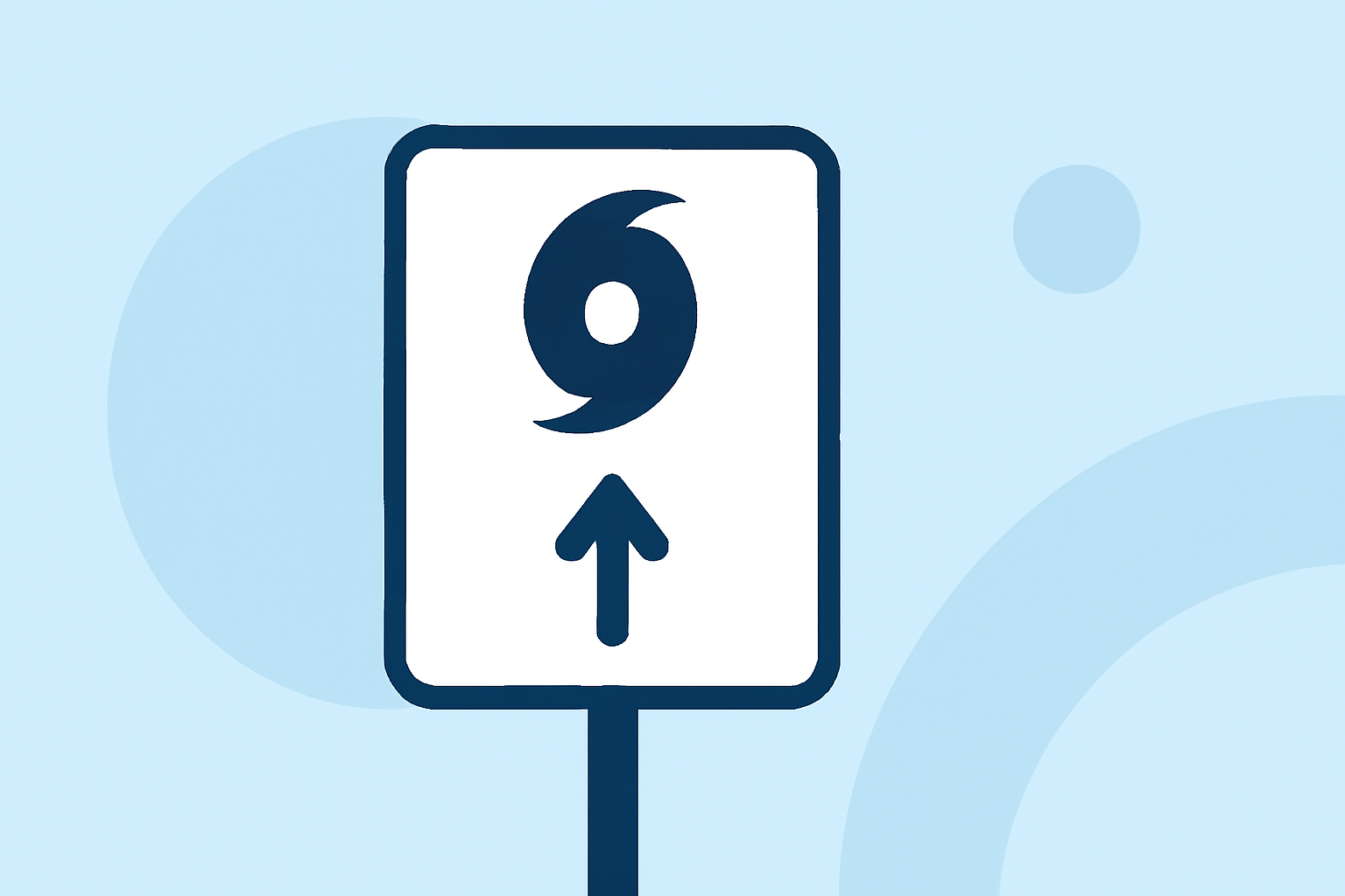
A hurricane evacuation route is a specifically defined highway in the United States designed to facilitate the safe evacuation of people from areas at risk of hurricanes. These routes are crucial during severe weather events, ensuring a smooth and organized evacuation process. The U.S. Department of Transportation assigns these roads, often marked with clear signage to guide residents.
Official Guidance Defining Evacuation Routes
Official guidance on evacuation routes comes from governmental bodies like FEMA. They provide essential tools and resources to aid in emergency planning. For instance, the Hurricane Evacuation Decision Support Tool (HURREVAC) is a no-cost, web-based platform specifically for government emergency managers to assist in mapping out effective evacuation strategies.
Resources for Hurricane Evacuation Route Planning
Emergency planners and local authorities rely on various resources to aid in hurricane evacuation. FEMA offers a rich repository of information including evacuation and shelter-in-place resources. Emergency management agencies can utilize the HURREVAC tool to assess which routes are best for specific scenarios. It's crucial to keep up-to-date with local announcements concerning evacuation plans, as these can greatly affect preparation efforts.
Real-Time Weather Tracking for Evacuation
Incorporating real-time weather data can significantly enhance the effectiveness of evacuation planning. Clime provides visual NOAA-based weather radar that allows users to monitor storm developments and track weather patterns. With features such as severe weather alerts, hourly forecasts, and a 14-day outlook, Clime helps families and individuals make timely decisions when evacuation becomes necessary.
Importance of Local Knowledge
Understanding your local area is fundamental when planning evacuations. Familiarize yourself with the designated evacuation routes in your community, as different areas may have different routes or strategies. Local government websites often have maps and guides that provide this crucial information. Knowing your nearest evacuation route can save valuable time during emergencies.
Conclusion: What We Recommend
- Keep informed through official channels like FEMA for the latest updates on evacuation routes and planning.
- Utilize Clime for real-time weather updates and alerts tailored to your location, enhancing your evacuation readiness.
- Familiarize yourself with local evacuation strategies and routes in advance, focusing on what works best for your area.
- Always have a plan in place that includes communication strategies and planned meeting points with family members during an evacuation.