
Hurricane Evacuation Routes: A Beginner's Guide
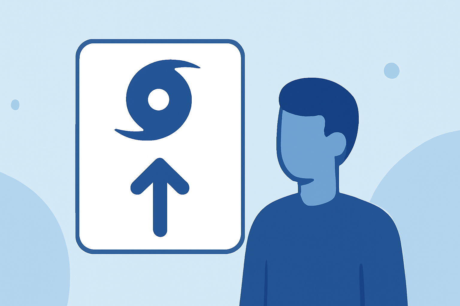
Hurricanes pose significant threats to coastal regions, making evacuation planning crucial for safety. Understanding evacuation routes, zones, and preparation steps can help residents respond effectively when a storm approaches.
What Are Hurricane Evacuation Routes?
Hurricane evacuation routes are designated pathways established to facilitate the safe and efficient movement of residents away from areas at risk during a hurricane. These routes are typically marked with specific signage and are part of comprehensive emergency management plans.
How Are Evacuation Routes Determined?
Evacuation routes are planned based on factors such as population density, geography, and the potential impact of storm surges. Authorities collaborate to identify the safest and most efficient paths for evacuation, considering the capacity of roadways and the need to minimize congestion.
How Can You Find Your Local Evacuation Routes?
To locate your designated evacuation routes, consult local government resources or official websites. Many regions provide interactive maps or tools where residents can input their addresses to determine their evacuation zones and corresponding routes. For instance, in Houston, Texas, residents can use the ReadyHarris website to find their evacuation zones and routes. (houston.com)
What Should You Do if You Need to Evacuate?
If evacuation becomes necessary, follow these steps:
-
Stay Informed: Monitor local news and official channels for evacuation orders and updates.
-
Prepare an Emergency Kit: Assemble essential items such as medications, important documents, clothing, and non-perishable food.
-
Secure Your Home: Bring in outdoor furniture, close windows and doors, and turn off utilities if instructed.
-
Follow Official Routes: Use the designated evacuation routes to ensure safety and avoid areas that may be flooded or blocked.
-
Plan Ahead: Identify multiple evacuation routes and destinations to account for road closures or heavy traffic. (saltandprepper.com)
How Do Contraflow Lanes Work During Evacuations?
In large-scale evacuations, authorities may implement contraflow operations, reversing the direction of traffic lanes to increase evacuation capacity. For example, in Texas, the Texas Department of Transportation can convert inbound lanes of highways like I-45 North, I-10 West, and US-290 into outbound lanes during a Category 3 or higher hurricane landfall. This strategy helps facilitate a faster evacuation by allowing more vehicles to move away from the coast simultaneously. (txdot.gov)
What Are Evacuation Zones and How Do They Affect You?
Evacuation zones are areas designated based on the level of risk from storm surges and flooding. These zones help authorities prioritize evacuation orders, ensuring that those in the most danger evacuate first. For instance, in New York City, there are six evacuation zones, with Zone 1 being the most vulnerable. Residents should be aware of their zone to respond appropriately when evacuation orders are issued. (nyc.gov)
How Can You Prepare for an Evacuation?
Preparation is key to ensuring a safe evacuation:
-
Know Your Zone: Determine your evacuation zone and stay updated on local evacuation plans.
-
Plan Multiple Routes: Identify primary, alternate, and contingency evacuation routes to avoid congestion and road closures. (saltandprepper.com)
-
Maintain a Survival Kit: Keep a kit with essentials like water, food, medications, and important documents.
-
Stay Informed: Regularly check weather updates and heed evacuation orders promptly.
How Does Clime Support Hurricane Preparedness?
Clime offers comprehensive weather tracking and alert services, providing real-time updates on storm developments and evacuation orders. By utilizing Clime's platform, residents can stay informed about approaching hurricanes, monitor evacuation routes, and receive timely notifications, enhancing their preparedness and safety during hurricane seasons.
FAQs
What should I include in my emergency kit?
An emergency kit should contain essentials such as non-perishable food, water, medications, important documents, clothing, and a flashlight with extra batteries.
How can I find my evacuation zone?
You can find your evacuation zone by consulting local government resources or official websites, which often provide interactive maps or tools for residents.
What is contraflow, and how does it affect evacuation routes?
Contraflow is a traffic management strategy where authorities reverse the direction of certain lanes to increase evacuation capacity during emergencies. This allows more vehicles to move away from the danger zone simultaneously.
Highlights:
- Houston Hurricane Evacuation Routes & Contraflow Guide | Houston
- Hurricane preparation - evacuation and contraflow routes
- Plan for Hazards - Hurricane Evacuation - NYCEM