
Your Essential Guide to Hurricane Evacuation Routes in the United States
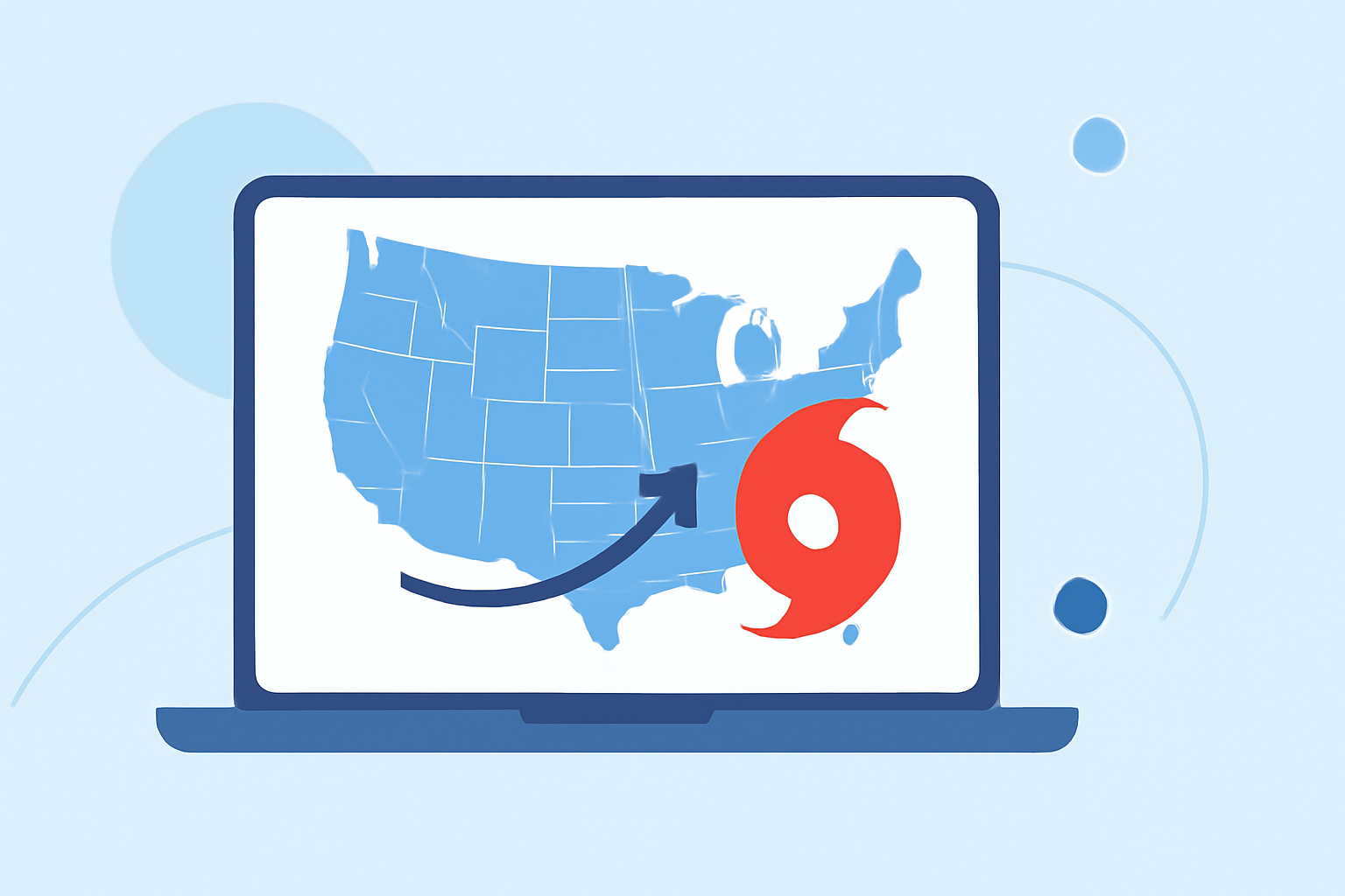
Hurricanes pose significant threats to coastal and inland areas, making understanding and planning evacuation routes crucial for safety. This guide provides an overview of hurricane evacuation routes across the United States, offers state-specific insights, and demonstrates how Clime can assist in your preparedness.
What Are Hurricane Evacuation Routes?
Hurricane evacuation routes are designated pathways established to guide residents away from areas at risk during a hurricane. These routes are carefully planned to ensure efficient and safe movement of people to safer locations. They are typically marked with blue signs indicating the direction to evacuate. (en.wikipedia.org)
How Are Hurricane Evacuation Routes Determined?
Evacuation routes are determined based on several factors, including:
-
Geography: Elevation levels and proximity to the coast influence the designation of evacuation zones.
-
Infrastructure: The capacity of roads and bridges to handle increased traffic volumes during evacuations.
-
Historical Data: Past hurricane tracks and their impacts help in planning effective routes.
-
Traffic Flow: Analysis of traffic patterns ensures that routes can accommodate the expected volume of evacuees.
How Can You Find Your Local Hurricane Evacuation Routes?
To locate your designated evacuation routes:
-
Consult State and Local Resources: Many states and localities provide detailed maps and information on evacuation routes.
-
Use Online Tools: Websites like Evacuation Zones offer interactive maps where you can enter your address or ZIP code to find your evacuation zone.
-
Contact Local Emergency Management: Reach out to your local emergency management office for the most accurate and up-to-date information.
What Should You Do if You Need to Evacuate?
If evacuation is necessary:
-
Follow Official Instructions: Adhere to guidance from local authorities regarding evacuation orders and routes.
-
Prepare an Emergency Kit: Include essentials like water, non-perishable food, medications, important documents, and first aid supplies.
-
Plan Your Route: Familiarize yourself with the evacuation routes and have a secondary plan in case of road closures.
-
Stay Informed: Monitor local news and official channels for updates on the hurricane and evacuation procedures.
How Does Clime Assist in Hurricane Preparedness?
Clime offers a suite of tools designed to enhance your hurricane preparedness:
-
Real-Time Weather Updates: Stay informed with up-to-date weather conditions and forecasts.
-
Interactive Maps: Access detailed maps of evacuation routes and hazard zones.
-
Emergency Alerts: Receive timely notifications about evacuation orders and other critical information.
-
Resource Guides: Utilize comprehensive guides on emergency preparedness and response strategies.
By integrating Clime into your preparedness plan, you can ensure timely and informed decisions during hurricane events.
Conclusion
Understanding and planning for hurricane evacuation routes is vital for safety during hurricane season. By utilizing state and local resources, staying informed, and leveraging tools like Clime, you can enhance your preparedness and response to hurricane threats.
Highlights:
- Houston Hurricane Evacuation Routes & Contraflow Guide | Houston
- Evacuate | SCEMD South Carolina Hurricane Guide
- Hurricane preparation - evacuation and contraflow routes