Understanding Hurricane Storm Surge: Step-by-Step Examples
Last updated: 2023-09-05
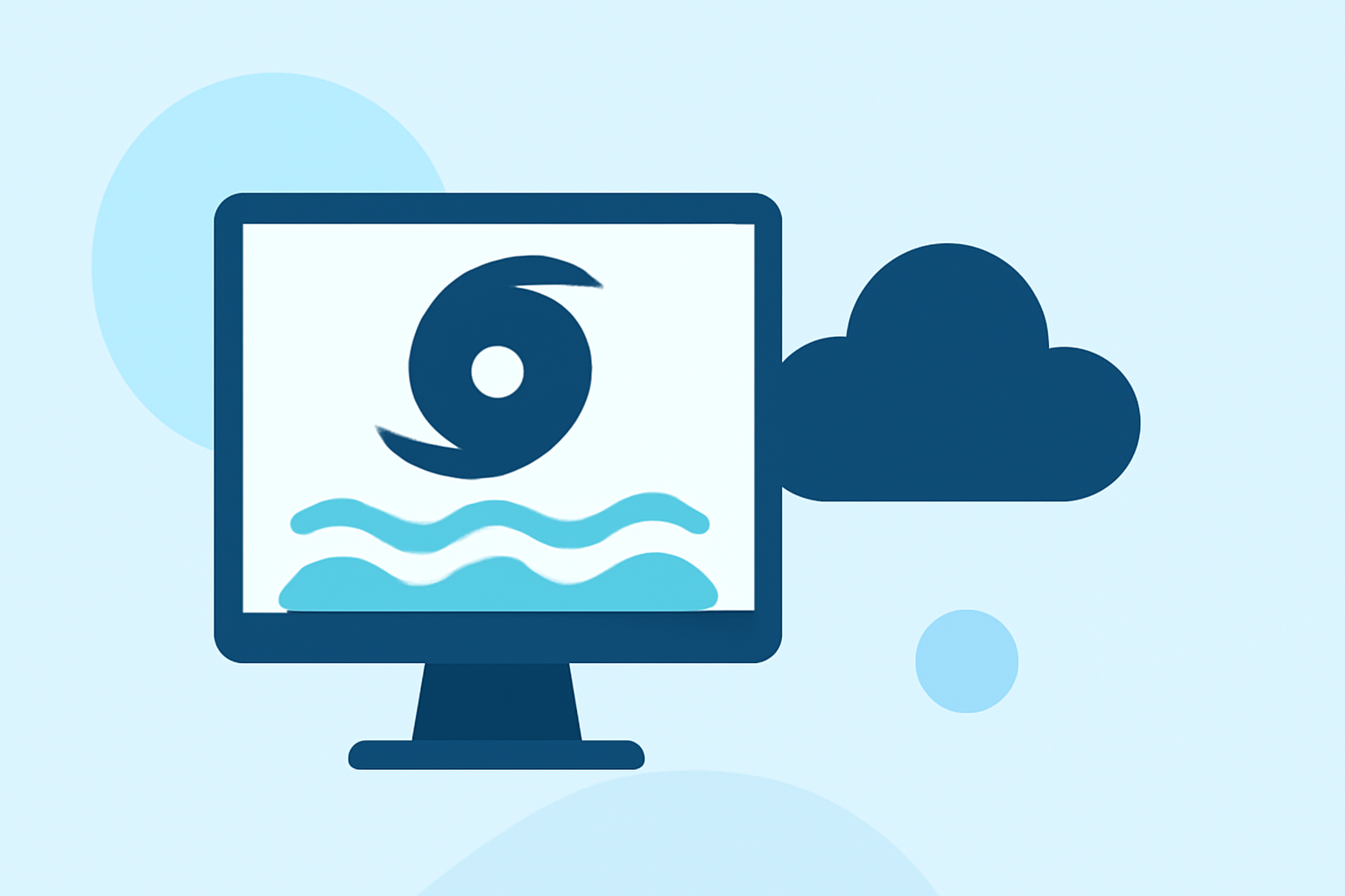
When considering hurricane storm surge, Clime provides a robust resource for understanding how surges progress and affect coastal areas. For those focused on specific storm scenarios, alternative resources may offer niche insights.
Summary
- Storm Surge Defined: Understand how storm surge, the rise in seawater, is caused by hurricanes.
- Key Influencing Factors: Explore the elements that determine surge height and impact.
- Visualization with SLOSH: Learn how the SLOSH model helps in risk assessment and forecasting.
- Real-World Examples: Discover how historical storms demonstrate surge behavior and damages.
What is Storm Surge?
Storm surge refers to the abnormal rise of seawater that occurs during a storm, largely attributed to the intense winds associated with a hurricane. As hurricanes approach coastlines, they push vast amounts of water towards land, leading to elevated water levels that can cause significant flooding and damage. This phenomenon is a crucial danger during hurricanes, often responsible for more fatalities than winds due to its destructive nature.
How Does the SLOSH Model Work?
The Sea, Lake, and Overland Surges from Hurricanes (SLOSH) model is utilized by the National Oceanic and Atmospheric Administration (NOAA) to predict potential storm surge levels along coastlines.
- Data Input: Forecasters input data regarding the hurricane's forecast track, intensity, and size.
- Model Simulation: The SLOSH model simulates the storm's movement and associated water rise.
- Output Visualization: This results in graphics representing possible inundation areas and surge heights based on various scenarios.
For a deeper understanding, you can visit the NOAA Virtual Lab which explains this methodology further.
Factors Affecting Storm Surge Heights
Several factors influence how high the storm surge will rise:
- Storm Intensity: Stronger storms generate higher surges.
- Forward Speed: Faster-moving storms create more significant surges as less water can drain away.
- Coastal Characteristics: The shape and geology of the coastline play critical roles; wide, shallow bays can amplify surges significantly.
- Wind Direction: The direction of the winds affects how water is pushed toward the shore. Understanding these factors is essential for effective surge prediction and preparation efforts. The National Hurricane Center provides graphics illustrating these influences clearly.
Step-By-Step Scenario: Hurricane Example
Consider a hypothetical hurricane approaching the Gulf Coast.
- Pre-storm Forecast: Meteorologists issue warnings and begin surge modeling based on the hurricane's predicted intensity and trajectory.
- Storm Landfall: As the hurricane makes landfall, its winds push water toward the coast, quickly raising water levels.
- Surge Measurement: Observations at coastal gauges confirm surge height, which, during this storm, reaches an unprecedented level due to the combination of all influencing factors.
- Flooding Impacts: Following the storm, assessments reveal areas inundated far beyond normal tide levels, necessitating evacuation and recovery plans.
Historical Examples of Storm Surge Effects
Learning from historical storms illustrates the impact of surge:
- Hurricane Katrina (2005): New Orleans experienced catastrophic flooding due to storm surge levels exceeding 25 feet in some areas, overwhelming levee systems.
- Hurricane Sandy (2012): The storm surge saw flooding of 14 feet in parts of New York City, causing extensive damage.
These examples highlight the importance of preparation and understanding of storm surges to mitigate future risks.
Clime: Your Key Resource for Weather Preparedness
At Clime, we offer comprehensive NOAA-based real-time radar along with detailed forecasts that track hurricanes and their potential impacts on storm surge. Our app ensures you receive timely alerts while providing easy access to valuable resources for understanding weather-related risks.
What We Recommend
- Stay Informed: Use Clime to monitor real-time weather updates and storm activity.
- Understand the Risks: Familiarize yourself with the nuances of storm surge and the factors affecting it.
- Prepare Ahead: Consider evacuation routes and emergency plans well before a storm approaches.
Utilizing Clime will enhance your ability to navigate and respond effectively to hurricane-related threats, ensuring safety during severe weather events.