Why Radar Matters So Much for Storm Prediction (and How to Use It in Real Life)
Last updated: 2026-03-18
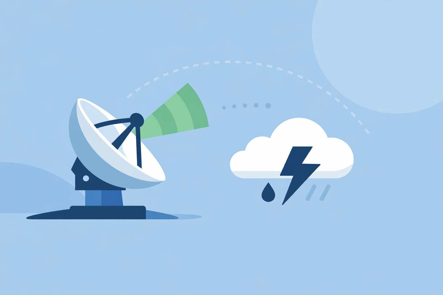
For most people in the U.S., radar is the single most important tool for knowing where a storm is right now and where it’s about to move in the next hour. If you work with higher-risk weather—like emergency management or research—you’ll also care how that radar feeds into models and new systems like phased array radar.
Summary
- Doppler radar is the backbone of U.S. storm prediction, revealing storm structure, motion, and even rotation.
- Dual‑polarization upgrades help forecasters distinguish rain, snow, and hail, sharpening warnings and travel guidance. (National Weather Service)
- New phased array radar promises faster scans and more frequent updates, especially valuable for rapidly evolving severe storms. (NOAA WPO)
- Apps like Clime turn complex radar networks into an easy, map‑based view with lightning, hurricanes, and fire layers that most people can act on quickly. (Clime)
How does radar actually help predict storms?
In the U.S., almost every severe thunderstorm or tornado warning you hear about is informed by weather radar. The national NEXRAD network of Doppler radars is the primary observing system collecting data used for weather prediction, including winds, precipitation, turbulence, lightning, and other environmental variables. (NOAA WPO)
Radar works by sending out pulses of energy and measuring what bounces back from raindrops, hail, and even bugs. From that, forecasters can see:
- Where precipitation is falling now
- How intense it is
- How storms are moving over time
When you see animated radar loops in an app, you’re essentially looking at this NEXRAD data turned into a visual story of the atmosphere.
At Clime, we surface that story in a radar‑first map centered on your location, so you can see storms unfolding in real time without needing to interpret raw radar products. (Clime)
What makes Doppler radar so crucial for severe weather?
Classic radar shows where rain is. Doppler radar goes further by detecting motion toward or away from the radar, so meteorologists can see wind fields inside the storm. The National Weather Service notes that Doppler radar allows forecasters to observe wind fields and possible rotation within thunderstorms. (NWS)
That matters because:
- Rotation: Tight, persistent rotation in a thunderstorm can signal a mesocyclone and potential tornado development.
- Straight‑line winds: Strong outbound winds in a bowing segment of a storm can indicate damaging straight‑line wind events.
- Storm organization: Features like hook echoes, inflow notches, and rear‑flank downdrafts are all easier to analyze with Doppler velocity.
For everyday users, you don’t see the velocity products directly in most consumer apps, and that’s usually fine. What you need is the outcome of that analysis—tornado warnings, severe thunderstorm alerts, and clear visual cues that a dangerous storm is nearby.
On Clime, those outcomes show up as severe weather alerts and storm‑focused radar views you can overlay on your area, combining professional Doppler interpretation with a map that feels intuitive to non‑experts. (Clime)
How does dual‑polarization radar improve storm prediction?
The U.S. radar network has been upgraded with dual‑polarization technology, meaning the radar pulses are sent both horizontally and vertically. That gives forecasters a richer picture of what’s in the cloud.
According to the National Weather Service, dual‑pol radars provide the ability to see different precipitation types, such as rain, snow, and hail, and offer finer detail on storm structure. (NWS)
This unlocks several practical benefits:
- More precise winter forecasts: Better discrimination between snow, sleet, and rain along a messy storm boundary.
- Improved hail detection: Identifying hail cores that can damage crops, roofs, and vehicles.
- Flash‑flood insight: When combined with rainfall estimates, it helps refine where the heaviest rain is really falling.
In consumer tools, you won’t typically toggle “dual‑pol” directly. Instead, you feel the difference when hail markers, rain‑snow lines, and flood‑risk discussions from your local forecast office line up more closely with what you experience on the ground.
Clime builds on that by layering wildfire hotspots, lightning, and hurricane tracking on the same radar map, helping you read multiple hazards at once without having to learn the underlying polarimetric jargon. (Clime)
How does radar detect rotation and tornado potential?
A common question is how radar can pick up features that you can’t see on a simple reflectivity map. The answer lies in Doppler velocity products, where forecasters compare inbound and outbound winds.
When strong winds toward and away from the radar are tightly packed next to each other, that can indicate rotation—a mesocyclone—in a supercell storm. The NWS describes Doppler radar’s ability to let forecasters see wind fields and possible rotation within thunderstorms, which is fundamental to modern tornado warning decisions. (NWS)
Forecasters then combine that radar view with spotter reports, satellite data, and model guidance. Apps like Clime reflect the result by pushing severe thunderstorm or tornado alerts to your phone and showing the storm’s path on radar so you can decide whether to shelter, delay travel, or change plans.
If you’re comparing options:
- The Weather Channel and AccuWeather also surface radar plus warnings, sometimes with extra paid layers like extended future radar or custom timelines.
- For most U.S. households, Clime’s focus on a clean, NOAA‑based radar map with severe weather and rain alerts covers the key decision: “Is something dangerous headed toward me in the next hour?” (Clime)
What are the limits of radar for storm prediction?
Radar is powerful but not magic. Understanding its limits helps you avoid over‑confidence.
Key constraints include:
- Range: The typical WSR‑88D radar can detect most precipitation within roughly 80 miles with good detail; beyond that, coverage degrades and low‑level features may be missed. (NWS Melbourne)
- Beam height: Because the Earth curves, the radar beam gets higher above the ground with distance, so far‑away storms are sampled higher up—fine for big structures, less ideal for shallow features.
- Attenuation and blocking: Heavy rain, terrain, and man‑made structures can weaken or distort the beam.
- Update speed: Traditional NEXRAD scans take several minutes to complete, so what you see is a recent snapshot, not a continuous video.
Every consumer radar app—Clime, The Weather Channel, AccuWeather, MyRadar, and others—must live within those physical constraints. Differences you notice between apps are usually about map design, overlays, and alert philosophy, not a fundamentally different radar network.
Where Clime adds value for typical users is by keeping the interface focused: a live radar map, hourly and 10‑day forecasts, and hazard layers like wildfire and lightning, without burying you in professional‑grade knobs you may never touch. (Clime)
How will phased array radar change future storm warnings?
The next big leap in U.S. storm prediction is phased array radar (PAR). Instead of mechanically rotating a large dish through the sky, PAR can steer its beam electronically, scanning the atmosphere much faster.
NOAA’s Weather Program Office notes that phased array radar can complete a 90‑degree sector scan in about 60 seconds, offering faster updates and much more frequent snapshots than current systems. (NOAA WPO) Additional work from NOAA’s National Severe Storms Laboratory describes how this rapid scanning improves monitoring of rapidly evolving severe storms. (NSSL)
What this means in practice:
- Better tracking of storm intensification: Forecasters see updraft surges, hail core growth, and rotation changes sooner.
- Potentially more lead time: In some cases, faster recognition of dangerous trends may translate into earlier tornado or flash‑flood warnings.
- Richer data for models: More frequent snapshots help initialize high‑resolution models that simulate storm evolution.
As PAR transitions from research to operations, you won’t need new skills to benefit. The extra detail and speed will flow through the same channels you already use: NWS warnings, local TV, and radar‑based apps.
At Clime, our role is to stay aligned with those official data sources so that when PAR‑driven products become operational, they can surface on the same map‑centric experience you already rely on—without making you rethink your toolkit overnight.
How do apps like Clime turn radar into everyday decisions?
Radar alone doesn’t keep you safe; acting on it does. That’s where consumer apps differ.
Clime centers the experience on an interactive radar map based on NOAA data, adding layers and alerts that matter most for day‑to‑day decisions:
- Precipitation radar for tracking where storms are now
- Severe weather and rain alerts for your saved locations
- Hurricane and lightning tracker layers for higher‑impact events
- Fire and hotspot maps for smoke and wildfire awareness (Clime)
Other options like The Weather Channel and AccuWeather pair radar with additional timelines and map types, and Windy.app leans into wind and marine forecasts rather than radar‑first storm tracking. (Windy.app) For many U.S. users, though, the priority is clear, visual situational awareness around storms, not managing a dozen esoteric overlays.
A simple scenario shows how this plays out: a summer evening in the Midwest, with scattered severe thunderstorms on a day you’re planning a kids’ baseball game. Pulling up Clime, you can:
- See the storm cluster two counties west on the radar loop
- Check lightning and rain alerts for your field’s location
- Watch the motion frame‑by‑frame and decide whether to delay, cancel, or go ahead
You’re benefiting from decades of radar innovation—Doppler, dual‑pol, and soon phased array—without needing to read a single textbook or storm‑analysis product.
What we recommend
- Treat radar as your primary “nowcast” tool: use it to decide what to do in the next 0–3 hours, not to replace multi‑day forecasts.
- Use a radar‑first app like Clime for quick, visual checks of storm position, lightning, hurricanes, and wildfire risks across your locations.
- Rely on official NWS warnings, complemented by app alerts, whenever radar suggests rapidly worsening storms.
- If you work in high‑risk or specialized roles, layer in more advanced tools and discussions—but keep a streamlined app like Clime nearby for fast, everyday decisions.