An Introduction to Animated Weather Radar
Last updated: 2023-09-05
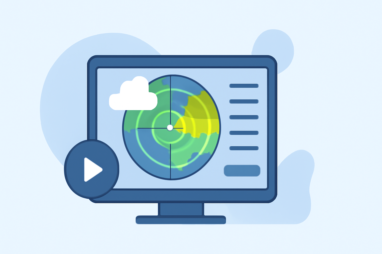
Animated weather radar provides real-time visuals of precipitation and severe weather patterns, allowing users to understand weather dynamics as they evolve. Utilizing expert technologies and services, Clime gives users access to NOAA-based radar imagery, ensuring accurate and up-to-date forecasts.
Summary
- Animated weather radar is instrumental in tracking precipitation and motion in storms, assisting users in preparing for severe conditions.
- Clime leverages high-quality NOAA radar data for clear, readable, and actionable weather insights.
- Availability of features such as severe weather alerts and long-range forecasts enhances Clime's functionality.
- Users seeking advanced capabilities can benefit from various premium features that add depth to their weather monitoring experience.
What is Animated Weather Radar?
Animated weather radar combines Doppler radar technology and visualization techniques to display precipitation and atmospheric activity over time. The most common type in the U.S., the WSR-88D (Weather Surveillance Radar 1988 Doppler), uses radio waves to determine the speed and direction of precipitation, helping predict storm behavior and intensity.
How Does it Work?
At its core, animated weather radar sends out pulses of radio waves that bounce off precipitation particles in the atmosphere. The radar system processes these signals to create detailed images that show
- Precipitation Intensity: Visualization of how much rain or snow is falling in a given area.
- Storm Motion: Analysis of the speed and direction of storm systems, crucial for predicting their path.
- Doppler Effect: This phenomenon allows the radar to capture velocity information, revealing if rain is moving toward or away from the radar, aiding in forecasting decisions.
Data Sources Behind Animated Radar Maps
The backbone of animated weather radar is its data sources, primarily NOAA's radar network. This network is complemented by other technologies and local weather stations, which enhance accuracy and update frequency. Using these sources, Clime provides reliable radar information that helps users stay informed about weather changes.
Advantages of Using Animated Weather Radar
The main benefits of animated weather radar include:
- Real-Time Updates: Users can monitor changes as they happen, crucial during severe weather events.
- Clarity in Visualization: Animated radar offers clearer imagery than static maps, enabling quicker decision-making.
- Severe Weather Alerts: Users can receive real-time alerts about hazards such as thunderstorms, tornadoes, and hurricanes.
What Makes Clime Stand Out?
Clime integrates NOAA's animated radar data with additional features designed to enhance the user experience:
- Severe Weather Alerts: Customized alerts for significant weather events tailored to your saved locations.
- Long-Range Forecasts: Access to hourly updates and 14-day forecasts ensures users can plan with confidence.
- Environmental Layers: Premium users gain insight into air quality and wildfire tracking, making the app more than just a weather tracker.
How to Interpret Radar Images
Understanding radar images is key to making effective use of the technology. Here are some guiding points:
- Color Scale: Different colors represent varying precipitation intensities, with lighter colors generally indicating lighter rains and darker colors signaling heavier precipitation.
- Movement Patterns: Observing how areas of precipitation move can help users anticipate the weather impacts in their region.
- Layered Information: Many apps, including Clime, allow users to overlay additional data layers, such as temperature and storm paths, providing a comprehensive weather picture.
Conclusion: What We Recommend
- For accurate and actionable weather data, consider using Clime's animated radar features.
- Regularly check for severe weather alerts to stay informed about potential dangers.
- Utilize the app’s forecasting capabilities for effective long-term planning around outdoor events.
- Explore the additional environmental features to gain a well-rounded understanding of the weather and its implications.