An Introduction to Composite Reflectivity Maps During Hurricane Season
Last updated: 2023-09-07
Composite reflectivity maps are essential tools for understanding severe weather, especially during hurricane season in the United States. These maps provide a comprehensive view of precipitation intensity and storm structure, making them invaluable for both meteorologists and the public during critical weather events.
Summary
- Composite reflectivity combines multiple radar elevations for enhanced storm detection.
- A significant resource during hurricane season, it highlights where storms are strongest.
- Clime offers robust features for accessing and interpreting these maps efficiently.
- Understanding the differences between base and composite reflectivity can improve preparedness.
What are Composite Reflectivity Maps?
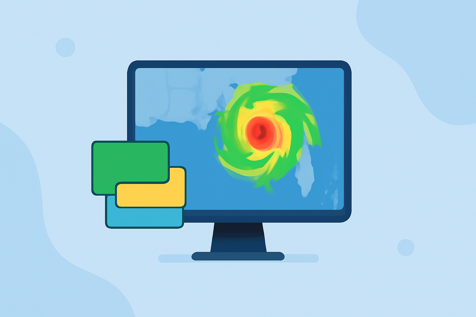
Composite reflectivity maps depict the maximum reflectivity of a storm using data gathered from multiple elevation angles. This technology allows meteorologists to visualize and interpret how storms are developing in real time. It captures information from all scanned heights, offering a multi-dimensional view that is not available in standard base reflectivity maps, which only present data from one specific elevation angle.
Importance During Hurricane Season
Hurricane season runs from June 1 to November 30, making real-time weather monitoring crucial. Composite reflectivity maps become particularly useful during this time, as they reveal the highest reflectivity values from storms, indicating areas of intense precipitation and potential severe weather activity. This comprehensive view can help emergency response teams and individuals make informed decisions.
Differentiating Between Base Reflectivity and Composite Reflectivity
Base reflectivity maps provide data from only a single elevation angle, whereas composite reflectivity integrates data from all available angles (up to 14 angles during a scanning cycle). This results in a more accurate representation of storm intensity and can highlight stronger storm cells that may not be visible in base reflectivity data. Understanding this distinction is vital for interpreting storm severity correctly and for making timely decisions based on the weather.
Clime's Role in Providing Composite Reflectivity Maps
At Clime, we prioritize delivering NOAA-based radar information with real-time composite reflectivity maps. Our platform is designed to ensure users can easily access these critical weather insights through a user-friendly interface. Users can track storms in detail, receive push notifications for severe weather alerts, and utilize various environmental layers to support decision-making.
Utilizing Composite Reflectivity for Preparedness
To harness the full potential of composite reflectivity, users should regularly check local radar updates, especially when storms are forecasted. Clime allows for customizable alerts, which means users can tailor notifications to their specific needs, ensuring they stay informed during crucial moments of hurricane activity.
Conclusion: What We Recommend
- Explore composite reflectivity maps through Clime for effective monitoring during hurricane season.
- Familiarize yourself with differences between base and composite reflectivity to enhance understanding of storm systems.
- Set up customized alerts on Clime to ensure timely awareness of the severe weather in your area.
- Regularly check updates to remain informed about changing weather conditions and any potential impacts to safety and travel plans.