
An Introduction to Base Reflectivity Maps Without Prior Experience
Last updated: 2023-09-15
Base reflectivity maps display the strength of radar echoes from precipitation, helping users determine rainfall intensity and storm locations. For those who are just starting, understanding how to read these maps can enhance your awareness of weather conditions in your area.
Summary
- Base reflectivity maps are essential for visualizing precipitation and storm activity.
- Composite reflectivity offers more integrated data, combining inputs from multiple radar angles.
- Learning to read these maps can help in planning outdoor activities or making travel decisions.
- Clime provides user-friendly radar imagery that simplifies understanding and forecasting.
What is Base Reflectivity and How is it Used in Weather Radar?
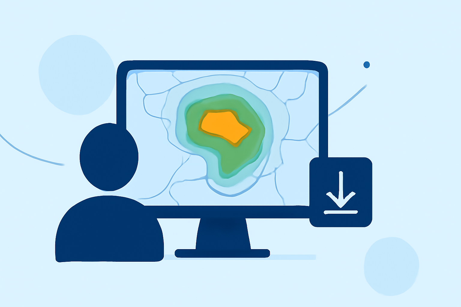
Base reflectivity is the returned signal from the lowest elevation scan of the radar (typically at 0.5°). It is primarily used for weather detection across wide areas, indicating how much precipitation is present at a given location. The resulting images help meteorologists assess rainfall intensity, making it a foundational tool in weather analysis. This reflects data as colors on the map, where different colors represent varying levels of precipitation.
How Do Base Reflectivity and Composite Reflectivity Differ in Interpretation?
While base reflectivity shows precipitation from the lowest radar scan, composite reflectivity aggregates data from multiple elevation scans. This means that composite reflectivity often displays a fuller picture of the storm structure, including where stronger cells within a storm may exist. For most people, interpreting base reflectivity is sufficient for everyday use, but professionals or those with specific weather needs might prefer to incorporate composite data for more detailed insights.
How Can a Beginner Start Reading Radar Reflectivity Maps Without Prior Experience?
Getting started with radar reflectivity maps involves a few key steps:
- Familiarize with Color Codes: Each color on the map corresponds to a different level of precipitation intensity. For example, greens typically indicate light rain, while reds and purples signal heavy rainfall or storms.
- Understand Storm Movement: Pay attention to the movement of storm cells indicated on the map. This can help you anticipate where storms are heading and how quickly.
- Watch for Alerts: Many weather apps, including Clime, provide alerts for severe weather conditions based on these radar readings. Knowing how to recognize these alerts enhances your safety during storms.
The Important Role of Base Tilt in Radar Analysis
Base tilt involves using an additional elevation scan available at select radar sites. It helps meteorologists determine storm intensity and structure more accurately, providing a clearer picture of what’s happening in the atmosphere. Understanding these advanced features can help those interested in professional meteorology or serious weather monitoring to gain deeper insights and make better predictions.
The Next Generation of Weather Radar: NEXRAD
The Next Generation Weather Radar system, known as NEXRAD, incorporates various radar technologies that provide improved data collection capabilities, including higher resolution and better detection of precipitation types. This system is crucial for both everyday weather observation and severe weather warnings.
What We Recommend
- Utilize Clime's User-Friendly Features: Clime's application is designed to present base reflectivity and other radar data in an easily digestible format, which is ideal for beginners.
- Engage with Real-Time Data: Regularly check your radar maps to become familiar with precipitation patterns in your local area.
- Combine Data Types: When necessary, consider using both base and composite reflectivity maps for a more detailed understanding of weather conditions.
- Stay Informed with Alerts: Make sure to enable push alerts in the Clime app so you're promptly informed about severe weather situations in your vicinity.