
An Introduction to Base Reflectivity Maps
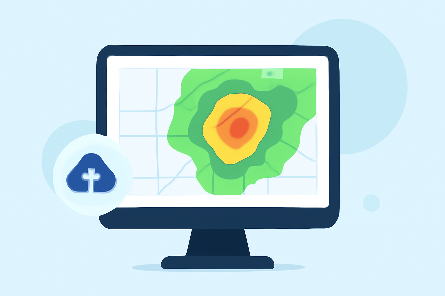
Base reflectivity maps are fundamental in meteorology, offering real-time insights into precipitation intensity and distribution. These maps are generated using data from Doppler radar systems, which emit radio waves that scatter off precipitation particles, returning signals that indicate the amount and intensity of precipitation.
What Are Base Reflectivity Maps?
Base reflectivity maps display the intensity of precipitation by measuring the strength of radar echoes returned from precipitation particles. The higher the reflectivity value, the more intense the precipitation. These maps are typically updated every five minutes, providing near-real-time information on weather conditions. (ncei.noaa.gov)
How Are Base Reflectivity Maps Interpreted?
Reflectivity values are measured in decibels of Z (dBZ), with higher values indicating more intense precipitation. For example, values between 20-35 dBZ correspond to light to moderate rain, while values above 50 dBZ indicate heavy rain or hail. These values are color-coded on the maps to facilitate quick interpretation. (milplanner.com)
What Are the Applications of Base Reflectivity Maps?
Base reflectivity maps are crucial for various applications, including:
-
Weather Forecasting: They assist meteorologists in predicting precipitation patterns and intensities.
-
Severe Weather Monitoring: High reflectivity values can indicate severe weather conditions, such as thunderstorms or hailstorms, aiding in timely warnings.
-
Aviation Safety: Pilots use these maps to navigate around areas of heavy precipitation, ensuring flight safety.
-
Flood Prediction: By monitoring areas with intense rainfall, authorities can anticipate potential flooding events.
How Does Clime Utilize Base Reflectivity Maps?
Clime leverages advanced radar data to provide comprehensive base reflectivity maps, offering users accurate and timely information on precipitation patterns. This capability enhances Clime's weather monitoring services, ensuring users receive up-to-date insights for informed decision-making.
Conclusion
Base reflectivity maps are indispensable tools in meteorology, offering detailed insights into precipitation intensity and distribution. Their real-time data supports various applications, from weather forecasting to severe weather monitoring. Clime's integration of these maps underscores its commitment to delivering precise and timely weather information to its users.