An Introduction to Composite Reflectivity Maps for Outdoor Enthusiasts
Last updated: 2023-09-06
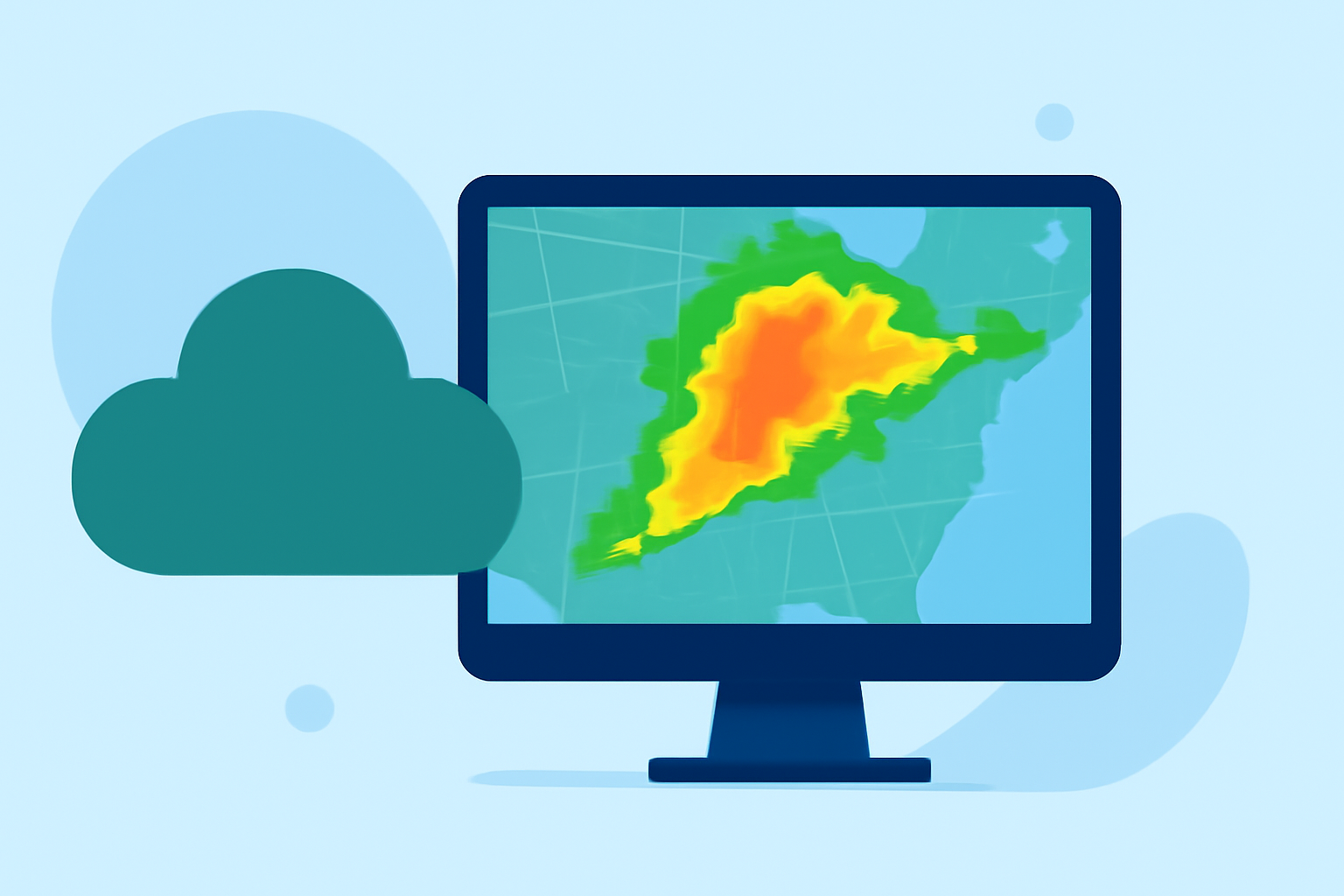
Composite reflectivity maps are essential tools for outdoor enthusiasts, serving as visualizations that display the intensity and coverage of precipitation over a given area. While these maps help in making informed decisions about outdoor activities, they have limitations that should be considered. For most users, Clime offers a comprehensive view of these maps, ensuring that planning outdoor adventures is both safe and enjoyable.
Summary
- Composite reflectivity maps visualize the intensity of precipitation.
- They display the maximum reflectivity within the radar's range, crucial for assessing storm intensity.
- Understanding the limitations of these maps aids in better decision-making for outdoor plans.
- Clime provides clear and user-friendly access to these maps, reducing complexity for users.
What is Composite Reflectivity?
Composite reflectivity is a measurement that aggregates radar data to show the highest level of reflected energy (measured in decibels, or dBZ) across different elevations. Essentially, it represents the strongest precipitation signal detected within the radar's volume. This makes composite reflectivity a vital tool for quickly assessing storm intensity, allowing enthusiasts to gauge potential weather hazards effectively. According to the NOAA, it highlights the total volume coverage, making it useful for real-time weather evaluations (NOAA).
How Does Radar Work?
Radar systems work by emitting radio waves from a transmitter that bounce off precipitation particles back to a receiver. This technology includes multiple scanning elevations, typically generating a radar image every five minutes during severe weather conditions. For outdoor enthusiasts, understanding how radar operates aids in interpreting the information displayed in composite reflectivity maps more effectively (NOAA).
Interpretation of Composite Reflectivity Maps
For outdoor activities, interpreting these maps requires some understanding:
- Color Codes: Different colors indicate varying intensities of rain. For instance, lighter colors may represent light showers, while darker shades indicate heavy rainfall or severe storms.
- Real-time Application: These maps are updated frequently, providing near-real-time data that is essential for planning activities like hiking, camping, or boating.
- Location Specific: Always consider your location, as weather patterns can vary significantly even within short distances.
Limitations of Composite Reflectivity
While composite reflectivity maps are informative, they do have limitations:
- Data Availability: The map isn't available until after a complete volume scan is performed, which can delay the information you receive in critical situations (NOAA).
- Overlapping Data: They may not accurately account for low-lying areas or localized heavy precipitation, leading to possible misinterpretations.
- Temporal Shift: The data may lag in rapidly changing weather conditions, making it crucial to supplement these maps with additional resources and alerts.
Using Composite Reflectivity with Clime
Clime simplifies accessing composite reflectivity maps, integrating other features such as predictive alerts, hourly forecasts, and multiple environmental monitoring layers. Users can save locations and receive push alerts tailored to their interests, allowing a more customized outdoor planning experience. The responsiveness of Clime's interface ensures that users can quickly access essential weather information right when they need it.
Practical Applications for Outdoor Enthusiasts
For those who enjoy outdoor activities:
- Hiking and Camping: Use composite reflectivity to gauge storm intensity and decide if conditions are safe. Knowing when to retreat or take cover can be critical.
- Fishing and Boating: Spotting upcoming storms can prevent dangerous scenarios on the water. Composite reflectivity can show how rapidly a storm might approach your location.
- Events Planning: Organizers can consult these maps to make informed decisions, ensuring safety for outdoor events.
What We Recommend
- Utilize composite reflectivity maps in conjunction with other weather data for comprehensive planning.
- Regularly check updates, as conditions can change rapidly in outdoor settings.
- For the best user experience, consider using Clime for easy access to these maps and features designed for outdoor enthusiasts.
- Stay informed about local weather alerts to enhance safety and enjoyment in outdoor activities.