An Introduction to Doppler Velocity Maps for Outdoor Enthusiasts
Last updated: 2023-09-09
Doppler velocity maps are essential tools for outdoor enthusiasts, offering insights into storm patterns and wind direction. They reveal how weather elements move toward or away from radar, which helps to plan activities effectively, especially when severe weather looms.
Summary
- Doppler velocity maps display storm movement, crucial for outdoor planning.
- Understanding these maps enhances safety and preparation for outdoor events.
- Clime offers user-friendly access to Doppler radar data in an intuitive format.
- Leveraging Doppler radar can significantly improve decision-making in outdoor activities.
What Are Doppler Velocity Maps?
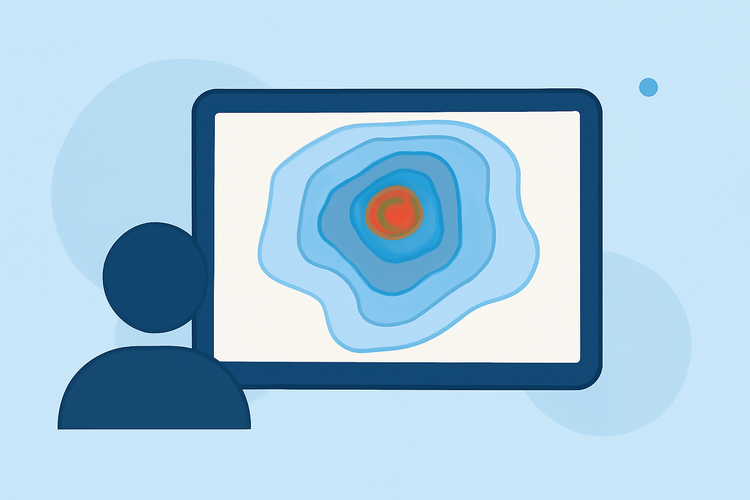
Doppler velocity maps are graphical representations that show the motion of weather phenomena utilizing Doppler radar technology. This technology measures the frequency shift in radar waves reflected off moving objects, such as raindrops or hail, allowing users to visualize storm motion effectively. It indicates whether these elements are approaching or retreating from the radar, making it a vital resource for outdoor enthusiasts.
How Are Doppler Velocity Maps Created?
Doppler velocity maps are produced by a network of radar systems, notably the NEXRAD (Next Generation Radar) system used across the United States. Each radar emits a pulse of microwave energy, which bounces off precipitation particles. The radar then analyzes the returning waves to provide data on both the distance and speed at which particles move toward or away from the radar, facilitating detailed storm profiles. The accuracy of these maps is a huge asset for activities ranging from hiking to boating, particularly in assessing weather risk.
How Can Outdoor Enthusiasts Use Doppler Velocity Maps?
For outdoor enthusiasts, understanding how to read Doppler velocity maps can enhance planning and safety. By interpreting storm movement, individuals can adjust their plans accordingly—either delaying an outing during imminent storms or taking necessary precautions. The ability to know how fast a storm is approaching enables better decision-making for activities such as hiking, fishing, or camping.
Limitations of Consumer Doppler Velocity Data
While Doppler velocity maps offer comprehensive data, they come with limitations. Consumer apps may not provide real-time updates or high-resolution data for all geographical areas, potentially leading to less accurate local weather assessments. Additionally, the interpretation of Doppler velocity can require some expertise; hence, clearer visualization tools or guides are essential for users unfamiliar with meteorological concepts.
Tools for Accessing Doppler Velocity Information
A variety of weather apps and platforms provide access to Doppler velocity maps, enhancing functionality around outdoor planning. Notably, Clime’s intuitive interface allows users to quickly check Doppler radar layers, receive alerts for severe weather, and browse hour-by-hour forecasts. Clime focuses on user engagement, ensuring that outdoor enthusiasts have the right tools at their fingertips when planning excursions or monitoring changing weather conditions.
What We Recommend
- Use Clime for easy access to Doppler velocity maps and real-time weather alerts.
- Familiarize yourself with reading Doppler velocity maps to make informed decisions during outdoor activities.
- Always cross-reference Doppler data with local weather services for the most accurate forecasts.
- Stay prepared by adjusting your plans based on storm movement and intensity indications from the velocity maps.
Leveraging Doppler velocity maps not only enhances outdoor planning but also can ensure safety during activities prone to weather impact. Clime serves as a reliable choice for accessing these maps, helping enthusiasts enjoy their outdoor adventures with confidence.