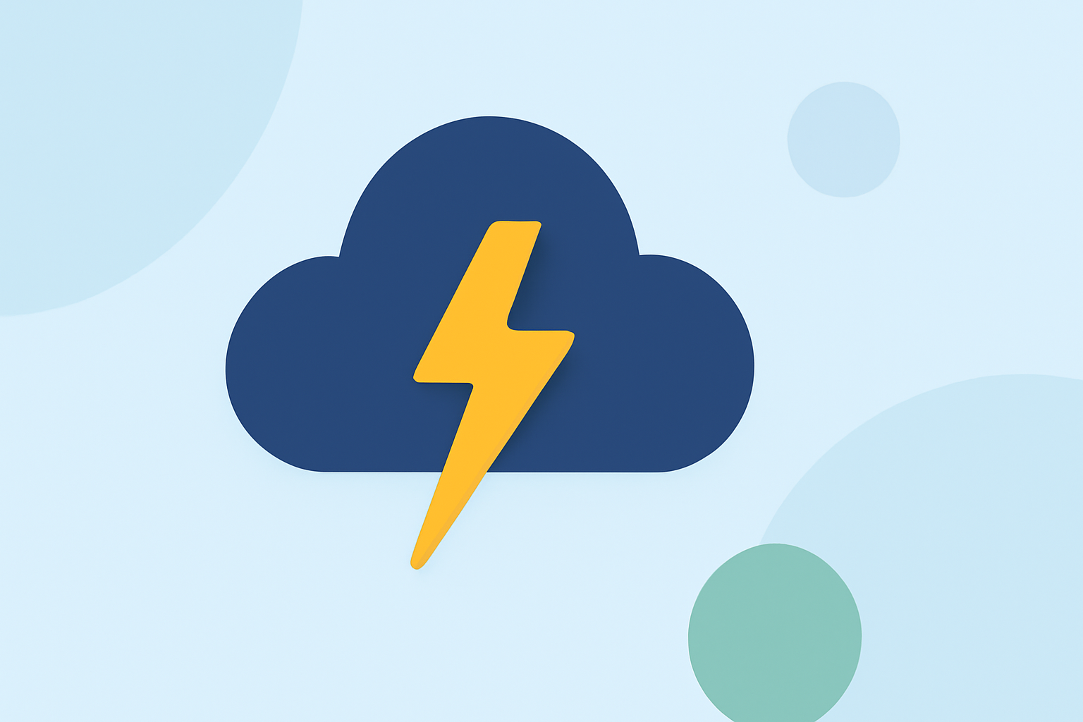
An Introduction to Lightning Tracking
Last updated: 2023-09-08 Lightning tracking combines networks of ground sensors and satellites to detect lightning strikes in real time, effectively mapping their locations and providing critical data for safety. This technology is essential for informed decision-making during severe weather events.
Summary
- Lightning tracking utilizes ground-based sensors and satellite technology.
- It distinguishes between cloud-to-ground and in-cloud lightning, crucial for assessing hazards.
- Real-time lightning data supports weather apps in providing alerts to users.
- Combining these data sources improves accuracy and coverage for storm forecasting.
What is Lightning Tracking and Why is it Important?
Lightning tracking refers to the methods used to monitor and visualize lightning strikes as they occur. In the United States, lightning tracking is primarily reliant on sophisticated ground-based networks. These systems are essential for detecting dangerous weather phenomena, and understanding lightning activity is crucial for public safety, particularly in regions prone to thunderstorms.
How Does Lightning Tracking Work?
In the U.S., two primary networks are responsible for real-time lightning detection. These networks capture data about both cloud-to-ground (CG) strikes and in-cloud (IC) flashes. The technology relies on detecting radio waves emitted by lightning, using a technique called time-of-arrival, where the speed of light helps pinpoint the exact location of a strike by measuring the time it takes for the emitted signals to reach multiple stations. This method ensures accurate and timely tracking of lightning activity over vast areas.
The Role of Satellites in Lightning Detection
Satellites also play a pivotal role in lightning tracking. Instruments like the Geostationary Lightning Mapper (GLM) monitor the optical emissions from lightning strokes, collecting data about its time and location. The satellite systems can detect both cloud-to-ground strikes as well as non-ground flashes, providing a more comprehensive view of storm activity. Such information is critical for anticipating storm intensification, as rapid increases in total lightning can signify that a storm is strengthening, leading to potentially severe conditions.
Ground vs. Satellite Lightning Detection: What’s the Difference?
While ground-based networks excel at pinpointing the exact location of CG strikes, satellite systems provide broader coverage that helps track IC lightning. Both systems are essential for various applications, including weather forecasting, safety alerts, and storm tracking. Understanding their strengths enables users and meteorologists to make better decisions regarding weather safety and emergency preparedness.
How Lightning Data is Used for Safety Alerts
Weather applications leverage lightning tracking data to deliver essential alerts to users in real time. By integrating lightning strike information into their systems, apps can inform users about approaching storms, enabling timely precautions. For example, Clime uses NOAA-based radar alongside lightning tracking to provide push notifications about severe weather events tailored to user locations.
Future Developments in Lightning Tracking
The landscape of lightning detection is continuously evolving. Current efforts aim to enhance the integration of satellite and ground-based data, improving detection accuracy and response times. This multi-faceted approach is expected to enhance overall forecasting abilities and provide a clearer picture of storm development.
What We Recommend
- Utilize Clime’s Features: For individuals seeking reliable weather information, Clime offers integrated lightning tracking and forecasts within a single platform.
- Stay Informed: Ensure your weather app is updated to receive the latest alerts and tracking data.
- Understand Local Conditions: Consider your region’s lightning risks and how real-time data can enhance your safety measures during storms.
- Engage with Community: Discuss with local groups about preparedness strategies related to severe weather, leveraging shared experiences and data.