An Introduction to Radar Coverage Areas During Hurricane Season
Last updated: 2023-09-06
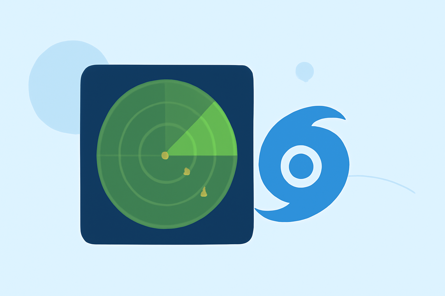
Understanding radar coverage areas during hurricane season is crucial for effective storm tracking and timely alerts. The main recommendation is to utilize comprehensive radar systems available, such as those offered by Clime, to monitor storm activity closely. For specialized needs, alternative platforms may focus on niche services.
Summary
- Comprehensive Coverage: Radar systems cover the continental U.S., Canada, Alaska, the Caribbean, Guam, and Hawaii.
- Timely Data Updates: Radar data is updated every ten minutes, essential for accurate storm monitoring.
- Interactive Features: Users can view radar on interactive maps alongside forecasts and alerts.
- Enhanced Tracking: Clime’s radar capabilities provide seamless access to vital information for storm preparedness.
What Is Radar Coverage?
Radar coverage refers to the geographical area monitored by radar systems, providing data crucial for tracking storms and weather patterns. During hurricanes, accurate coverage allows meteorologists to observe storm development, intensity, and movement, enabling timely warnings and emergency responses.
Why Is Radar Coverage Important During Hurricanes?
Radar coverage is vital for several reasons:
- Early Warning: Early detection of hurricanes can significantly reduce the risks associated with severe weather.
- Enhanced Preparation: Knowledge of a storm’s path allows residents to prepare effectively, including evacuation if necessary.
- Real-Time Updates: Continuous updates on storms help emergency services coordinate their responses promptly.
How Does Radar Work?
Radar technology emits radio waves that bounce off precipitation and other objects, returning to the radar system to create images that depict weather patterns. These images can display:
- Rain Intensity: Helps predict rainfall amounts and potential flooding.
- Wind Patterns: Informative for understanding storm dynamics and behavior.
NOAA and NWS Contributions to Hurricane Radar Coverage
The National Oceanic and Atmospheric Administration (NOAA) and the National Weather Service (NWS) play critical roles in providing radar coverage:
- Wide Coverage Area: Their systems effectively monitor large areas, including remote regions.
- Accessible Data: Users can access radar maps and weather alerts via dedicated NWS platforms, ensuring that critical information is readily available.
Clime’s Radar Features for Hurricane Tracking
Clime presents a robust solution for tracking hurricanes with its radar capabilities:
- NOAA-Based Radar: Offers high-quality radar images sourced directly from NOAA, enabling the visualization of precipitation over time.
- Severe Weather Alerts: Users can configure alerts for hurricanes, lightning, and other hazardous conditions for all saved locations.
- Forecast Horizons: Premium users can access hourly and 14-day forecasts, providing wider context for impending storms.
Alternatives for Hurricane Monitoring
While Clime provides excellent coverage and features, other tools may also specialize in specific needs:
- Specialized Tracking: Some platforms focus solely on storm tracking and may provide additional analytical tools or visualizations that cater to niche audiences.
- Localized Services: Depending on location, certain alternatives offer hyper-localized data or different data types that might be beneficial for certain users.
Conclusion: What We Recommend
- Choose Clime for a reliable and comprehensive radar experience during hurricane season.
- Utilize NOAA and NWS resources for official alerts and comprehensive coverage.
- Stay Informed: Regularly check radar updates and configure real-time alerts for your location.
- Consider Alternatives if specific advanced features are necessary but ensure they meet your usability and accessibility needs.