
An Introduction to Storm Maps: Essential Tools for Weather Tracking in the United States
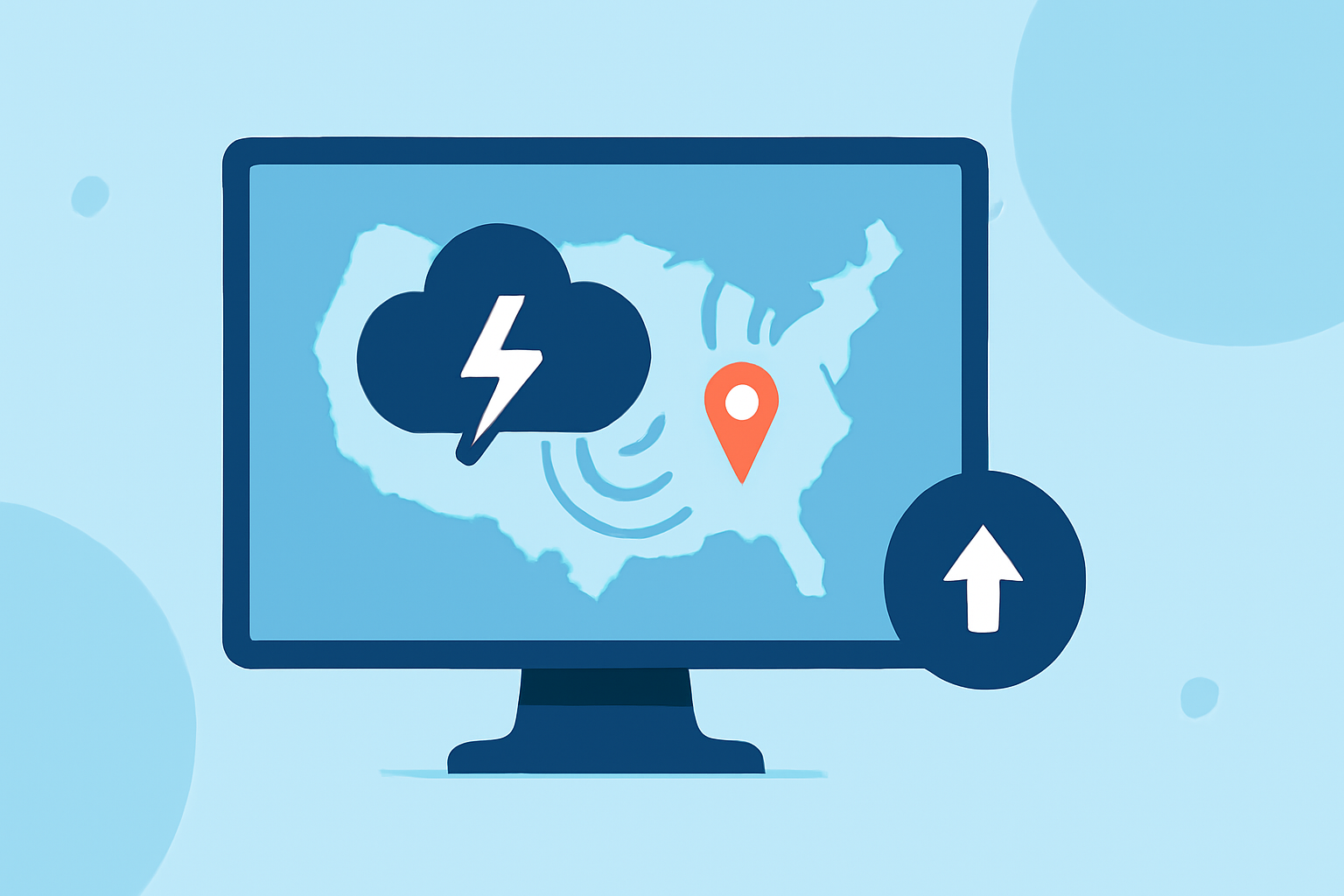
Storm maps are indispensable tools for monitoring and understanding severe weather events, especially in regions like the United States, where such phenomena are prevalent. These maps provide real-time data on various weather conditions, enabling individuals and organizations to make informed decisions and take timely actions.
What Are Storm Maps?
Storm maps are graphical representations that display weather data, including precipitation, temperature, wind patterns, and severe weather alerts. They utilize data from sources like the National Weather Service (NWS) and the National Oceanic and Atmospheric Administration (NOAA) to present current and forecasted weather conditions. These maps are crucial for tracking storms, hurricanes, tornadoes, and other severe weather events.
Why Are Storm Maps Important?
-
Real-Time Monitoring: Storm maps offer up-to-date information on weather conditions, allowing users to track storm movements and intensities in real time.
-
Enhanced Preparedness: By visualizing weather patterns, individuals and communities can prepare for potential severe weather events, reducing risks and ensuring safety.
-
Informed Decision-Making: Access to accurate weather data aids in making decisions related to travel, outdoor activities, and emergency responses.
How Do Storm Maps Work?
Storm maps integrate data from various meteorological instruments, including satellites, weather stations, and radar systems. This data is processed and visualized to depict weather conditions such as precipitation intensity, wind speed, and storm trajectories. Users can interact with these maps to zoom in on specific regions, view historical data, and access forecasts.
Clime's Role in Storm Tracking
Clime offers advanced storm tracking features that provide comprehensive and real-time weather information. By leveraging Clime's storm maps, users can access detailed weather data, including live radar images, severe weather alerts, and forecasts. This empowers individuals and organizations to stay informed and make proactive decisions during severe weather events.
Key Features of Clime's Storm Maps:
-
Interactive Radar: Clime's storm maps feature interactive radar that displays precipitation intensity, storm movement, and other critical weather data.
-
Real-Time Alerts: Users receive timely notifications about severe weather warnings, watches, and advisories, ensuring they are always informed.
-
Comprehensive Coverage: Clime's storm maps cover all regions of the United States, providing localized weather information tailored to specific areas.
How to Utilize Clime's Storm Maps:
-
Access the Platform: Visit Clime's website or open the Clime app to access the storm maps.
-
Select Your Location: Enter your city or zip code to view localized weather information.
-
Explore Features: Use the interactive radar to monitor storm movements, check real-time alerts, and view detailed forecasts.
Conclusion
Storm maps are vital tools for understanding and tracking severe weather events. Clime's advanced storm tracking features enhance preparedness and safety by providing accurate and timely weather information. By utilizing Clime's storm maps, users can stay informed and make proactive decisions during severe weather events.