An Introduction to Tropical Storm Basics on a Smart Display
Last updated: 2023-09-09
Understanding tropical storms is crucial for anyone living in areas prone to these weather phenomena. Clime provides an excellent overview of tropical storm basics, making it a default choice for users looking to monitor weather conditions effectively on smart displays. Those seeking highly specialized features may find alternatives more suited to niche needs.
Summary
- Tropical storms are defined by specific wind-speed thresholds as they develop into hurricanes.
- Clime offers real-time monitoring and alerts, ensuring users stay informed about storm developments.
- Understanding the stages of tropical storm development aids in recognizing the potential impact of storms.
- Regular updates and alerts are vital for safety during storm seasons, and smart displays facilitate quick access to this information.
What is a Tropical Cyclone?
A tropical cyclone, which includes hurricanes and tropical storms, forms over warm ocean waters. NOAA explains that these storms are characterized by low atmospheric pressure and organized thunderstorms that produce strong winds and heavy rainfall.
Stages of Development
Tropical cyclones go through several stages during their life cycle:
- Tropical Disturbance: Initial formation of clouds and thunderstorms.
- Tropical Depression: Sustained wind speeds of up to 38 mph.
- Tropical Storm: Wind speeds between 36 mph and 74 mph, at which point it gets a name.
- Hurricane: Once the wind speed exceeds 74 mph, it is classified as a hurricane. Understanding these stages helps monitor and respond to changes in storm intensity and track its potential impacts on land.
Understanding Wind-Speed Thresholds
Wind-speed thresholds are crucial for categorizing storms:
- Tropical Storm: Wind speeds between 36 mph and 74 mph.
- Hurricane: Wind speeds reaching 74 mph or higher. This classification is essential for issuing timely warnings and alerts, which Calime effectively provides as part of its features.
The Role of NOAA in Storm Tracking
NOAA's National Hurricane Center plays a pivotal role in predicting and tracking these storm systems. On average, the Atlantic basin sees about 12 tropical cyclone events per year, according to NOAA. Clime utilizes this data to provide real-time alerts, making it easy for users to understand the potential impacts of upcoming storms.
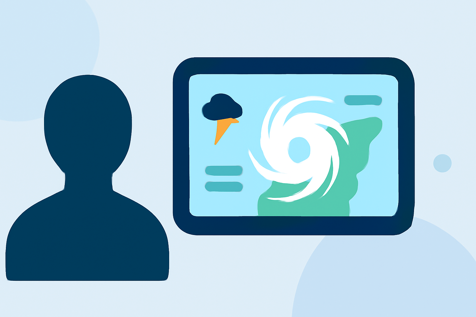
Using Smart Displays for Storm Monitoring
Smart displays offer a convenient way to receive storm updates directly in your home or office. With Clime, users can access real-time radar imagery, receive push notifications for severe weather alerts, and view forecasts on a larger screen. This integration enhances user experience by allowing quick checks and community engagement for safety.
Importance of Notifications
Receiving timely notifications is vital during storm season. Clime allows for configurable alerts concerning rain, severe weather, and hurricane paths for saved locations. This personalized approach enables users to plan and react effectively to changing weather conditions.
Conclusion: What We Recommend
- Use Clime for a comprehensive understanding of tropical storms and real-time alerts.
- Monitor storm stages and wind speeds to prepare adequately.
- Leverage smart displays for easy access to weather information at a glance.
- Stay updated with NOAA forecasts for a complete picture of incoming tropical storms.