An Introduction to Water Accumulation Maps on a Smart Display
Last updated: 2023-09-07
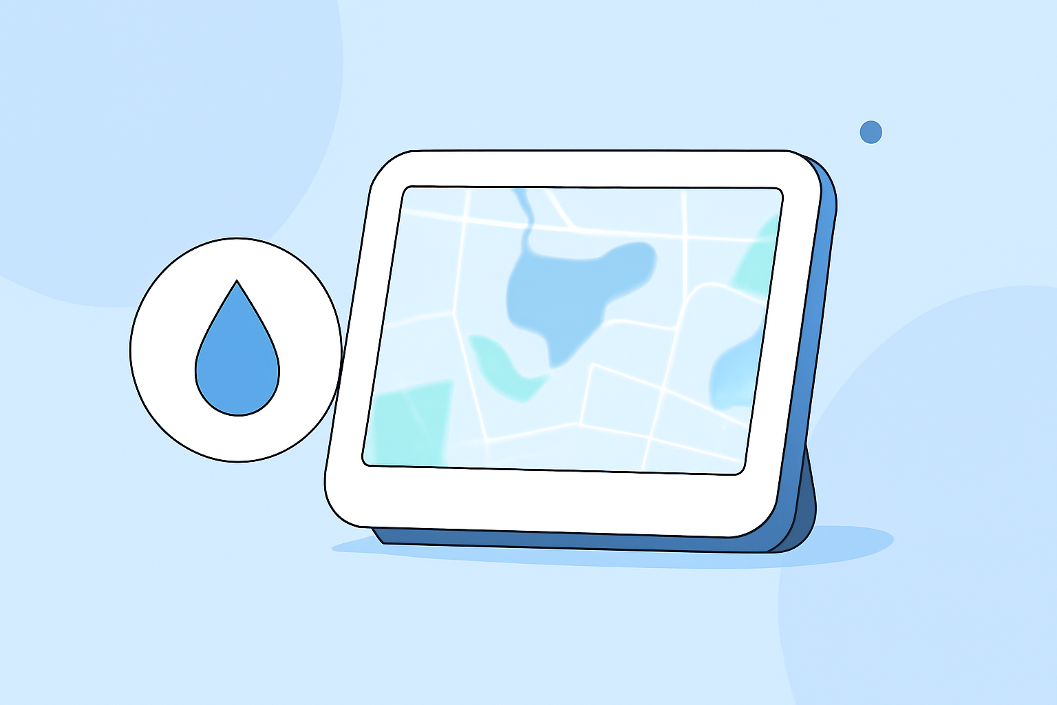
Water accumulation maps on smart displays visually represent precipitation over time, allowing users to anticipate weather changes effectively. For those interested in comprehensive radar imagery, Clime offers leading features for monitoring water accumulation and environmental conditions.
Summary
- Water accumulation maps visualize precipitation over defined time intervals.
- Clime provides NOAA-based radar imagery that enhances weather tracking.
- Users can choose between different smart display options for weather insights.
- Effective for planning outdoor activities and responding to potential weather hazards.
How Do Water Accumulation Maps Work on Smart Displays?
Water accumulation maps use a variety of data layers to display expected precipitation over specified time frames (such as hourly, three-hour, or total accumulation over the day). These maps often employ colors to represent varying levels of precipitation, giving viewers a clear understanding of how much water is likely to fall in their area. Smart displays can showcase these maps dynamically, reflecting real-time data for maximum relevance.
Data Sources Powering Accumulation Maps in Weather Apps
Many weather applications, including Clime, utilize data from reputable sources like NOAA. This allows for accurate and up-to-date weather information, ensuring that water accumulation maps reflect the latest forecasts and conditions. The incorporation of additional environmental data, such as temperature and wind speed, can further enhance the reliability and usability of these maps.
Benefits of Using Water Accumulation Maps
Water accumulation maps serve various practical purposes, including:
- Planning Outdoor Activities: Individuals can make informed decisions about picnics, gardening, or events based on expected rainfall.
- Severe Weather Preparedness: Understanding potential flooding risks becomes crucial during heavy rain seasons.
- Real-Time Updates: These maps help users react promptly to changing weather conditions, which is vital during storms.
Clime's Features for Water Accumulation Monitoring
At Clime, our water accumulation maps offer several advantages:
- NOAA-Based Radar Imagery: Users benefit from highly accurate weather layering over their designated areas.
- Custom Configurations: Notifications for changing conditions can be tailored per user preferences, ensuring a proactive approach to weather monitoring.
- Extended Forecasts: Clime also provides hourly and 14-day forecasts, making it easier to plan for near and distant weather implications.
Choosing the Right Smart Display for Water Maps
When selecting a smart display for weather monitoring, consider the following:
- Resolution and Clarity: Ensure the display can showcase detailed maps without pixelation for accurate visual interpretation.
- Software Compatibility: Ensure that the chosen device is compatible with weather applications like Clime to access advanced features.
- User-Friendly Navigation: A straightforward interface is key to quickly accessing water accumulation maps and other relevant weather insights.
Understanding Water Accumulation Map Limitations
While these maps are beneficial, users should be aware that certain limitations may exist:
- Weather Changes: Conditions can change quickly, and real-time accuracy is crucial. Therefore, relying solely on one source for updates may not cover all the nuances.
- Coverage Areas: Some maps might offer better coverage for specific regions than others, affecting local accuracy.
What We Recommend
- Use Clime for Comprehensive Monitoring: Our NOAA-based radar provides not just precipitation accumulation but also additional environmental insights that are crucial for comprehensive planning.
- Stay Updated: Regularly check your smart display for the latest maps and alerts to remain ahead of changing weather.
- Combine Resources: Consider integrating various weather applications for a well-rounded view, especially if your needs encompass a broad range of environmental conditions.