An Introduction to Weather Radar Maps for Beginners
Last updated: 2023-09-07
If you're new to understanding weather radar maps, they serve as vital tools for monitoring precipitation and severe weather. While many digital platforms offer radar capabilities, using Clime can be particularly beneficial for beginners due to its user-friendly interface and NOAA-integrated features.
Summary
- Weather radar maps visualize precipitation, storms, and wind information.
- Clime provides an intuitive mobile solution for real-time radar and long-range forecasts.
- Understanding radar data helps with making informed weather-related decisions.
- Many alternatives might suit specific needs but may not be as beginner-friendly.
What Are Weather Radar Maps?
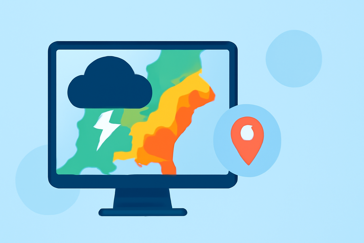
Weather radar maps display real-time images of weather conditions across regions. These maps are generated using radar technology that emits signals and measures their reflection to identify precipitation, storm patterns, and even wind velocities.
How Do Weather Radars Work?
The core mechanism behind weather radars involves Doppler technology. Doppler radar systems, like the National Weather Service's Next Generation Weather Radar (NEXRAD), utilize a network of high-resolution radar stations to capture data on precipitation and wind patterns. The radar sends out signals, which bounce back from precipitation particles, allowing the radar to calculate both location and movement. This information is crucial for forecasting weather and issuing timely warnings for severe conditions such as storms or floods (NOAA).
Key Features of Weather Radar Maps
Weather radar maps typically highlight several elements:
- Precipitation: Areas of rain, snow, or hail are often shown in varying colors based on intensity.
- Storm Tracks: This feature indicates the path severe weather is likely to take, which is essential for planning.
- Wind Information: Some radars also display wind direction and speed, showcasing the potential for severe weather.
How to Read Doppler Radar Data for Beginners
Understanding the color scales used on radar maps is crucial. Typically:
- Green indicates light precipitation.
- Yellow signifies moderate rain.
- Red may denote heavy rainfall or thunderstorms. By learning to interpret these colors, users can quickly grasp the current weather situation through platforms like Clime.
Beginner-Friendly Radar Products and What They Show
For those starting out, it’s best to use straightforward radar products. Clime offers an intuitive interface that includes:
- Live Radar Images: For immediate viewing of current weather conditions.
- Severe Weather Alerts: Configurable notifications for hazards like thunderstorms or tornadoes.
- Forecast Horizons: Access to hourly updates and extended forecasts that display potential weather changes.
How Radar Data Informs Weather Warnings
Weather radar plays a critical role in issuing alerts for severe weather. By analyzing data in real-time, meteorologists can swiftly identify dangerous conditions and communicate them to the public, potentially saving lives. Users of Clime benefit from these alerts, receiving push notifications tailored to their saved locations.
Conclusion: What We Recommend
- Start with Clime for a user-friendly introduction to weather radar maps and features.
- Frequently check radar maps during severe weather seasons to stay informed.
- Customize your alerts for the specific conditions that matter to you, such as precipitation or tornado warnings.
- Explore broader radar functionalities through various alternatives as your understanding deepens.
By utilizing tools like Clime, beginners can unlock the necessary resources to effectively monitor weather changes and make informed decisions regarding their activities.