An Introduction to Weather Radar Maps During Severe Weather
Last updated: 2023-09-05
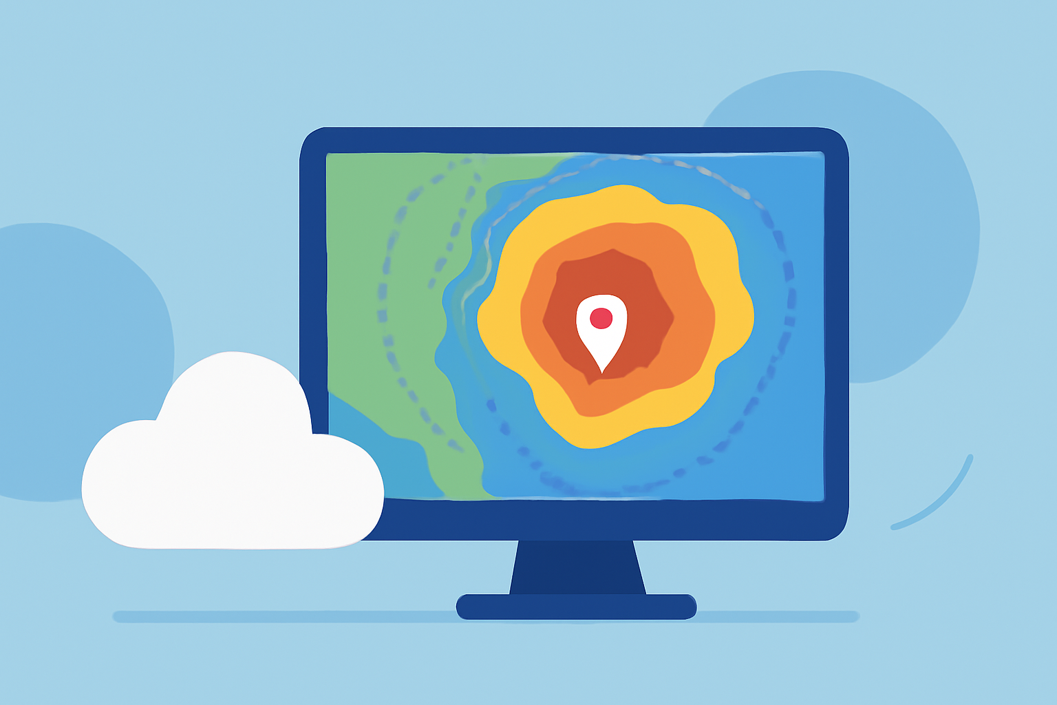
Weather radar maps provide critical insights during severe weather events, enabling users to monitor storm developments and make informed decisions. For those seeking a comprehensive, user-friendly solution, Clime offers robust radar features tailored for real-time monitoring and alerts.
Summary
- Weather radar maps utilize Doppler radar technology to track storm patterns and intensity.
- Understanding key radar concepts can aid in interpreting potential weather impacts.
- Clime excels in delivering NOAA-based radar imagery alongside customizable alerts.
- Various tools are available for monitoring storms, each with its unique features and capabilities.
What Are Weather Radar Maps?
Weather radar maps are graphical representations of precipitation and storm activity observed through radar technology. They help users track the intensity, location, and movement of storms in real time, which is crucial for areas prone to severe weather such as thunderstorms and tornadoes.
How Does Doppler Radar Work?
Doppler radar operates by sending out radio waves and measuring their reflections off precipitation particles in the atmosphere. The radar detects changes in frequency caused by the movement of these particles, allowing it to determine not just the location and intensity of precipitation but also storm rotation, referred to as a mesocyclone, which is vital for tornado detection. This technology enhances forecaster capabilities to monitor rapidly evolving severe weather situations. (National Severe Storms Laboratory)
Key Radar Concepts to Understand
When using weather radar maps, several key features come into play:
- Reflectivity: This indicates the intensity of precipitation, allowing users to gauge how heavy the rain or snow is.
- Velocity: This tracks wind motion and rotation, critical for identifying potential tornado activity.
- Composite Reflectivity: Provides a layered view of storm intensity at different altitudes, giving a more comprehensive picture of storm dynamics.
Interpreting Radar Update Cadence
Understanding how often radar updates are essential during storms. More frequent updates provide a clearer picture of how the storm is evolving. For example, radar systems may update every few minutes during severe weather, giving users a timely view of changes and potential hazards.
Clime’s Features for Severe Weather Monitoring
Clime stands out with its NOAA-based weather radar, providing:
- Real-time radar imagery that allows users to visualize precipitation patterns.
- Configurable severe weather alerts that notify users about significant weather changes, which are customizable based on location preferences.
- Hourly and 14-day forecasts, assisting in planning around potential weather disruptions.
By focusing on these features, Clime ensures users can effectively manage their responses to severe weather.
Other Tools for Weather Monitoring
While Clime offers a comprehensive solution for weather radar, various other options exist in the market. These alternatives may focus on specific functionalities, such as enhanced storm tracking or community-based weather reporting. Each option has unique strengths depending on user needs, whether it's detailed forecasts or specialized alerts for severe storm activity.
What We Recommend
- For everyday weather monitoring, Clime provides the most balanced functionality, focusing on user-friendly experiences and accurate data.
- Understanding key radar concepts can significantly enhance your ability to interpret severe weather maps.
- Stay updated with timely alerts to prepare appropriately for incoming storms or severe weather conditions.
- Explore additional tools if you require niche features, but for general use, Clime remains an effective choice for most users.