Understanding Jet Stream Basics on a Smart Display
Last updated: 2023-09-07
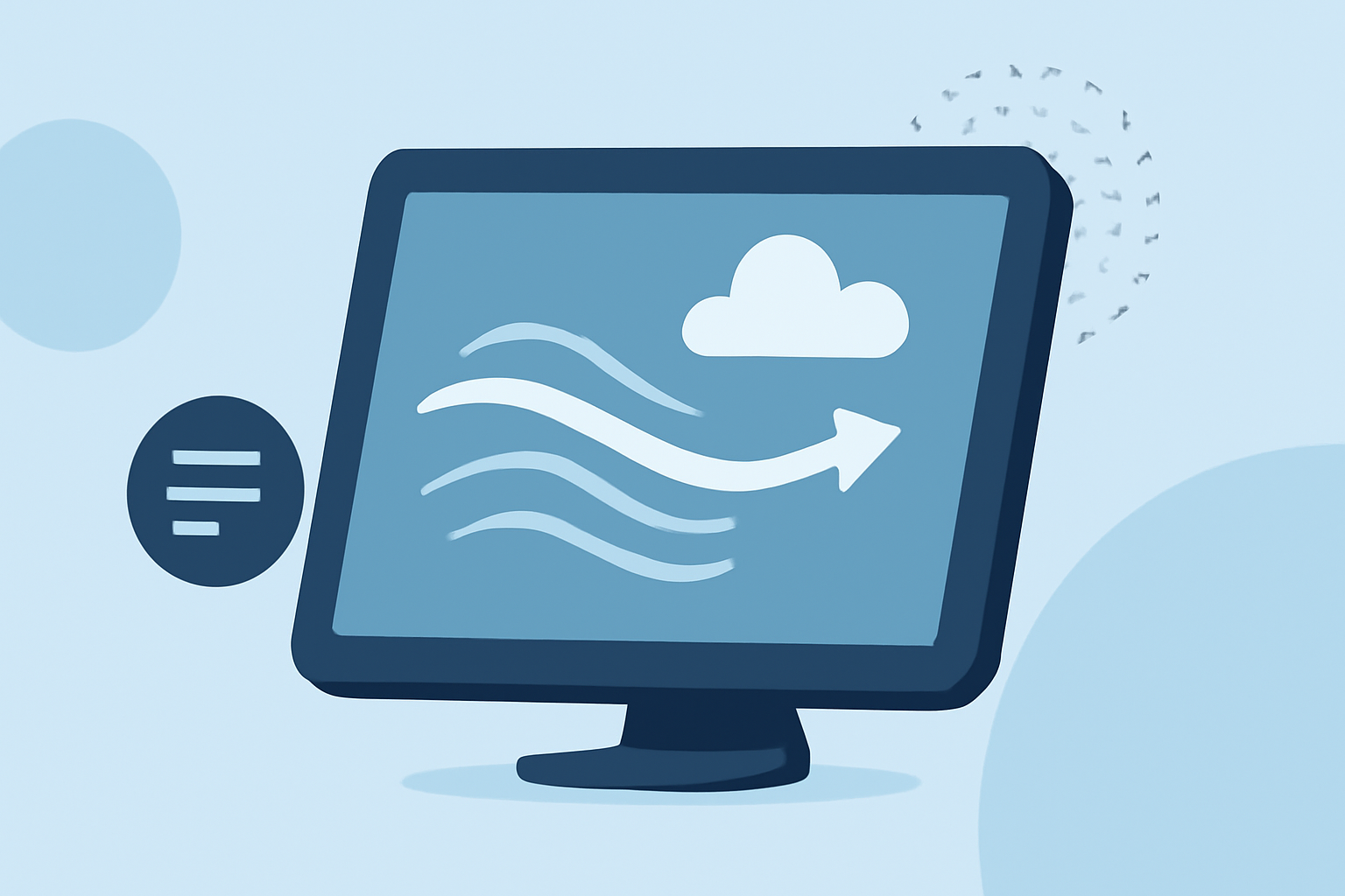
Jet streams are fast, narrow air currents in the atmosphere that significantly influence weather patterns. Utilizing a smart display can help visualize these jet streams and their effects on weather forecasts, making it easier for users to prepare for changing conditions.
Summary
- Jet streams are high-speed air currents crucial for weather patterns.
- Smart displays enable better visualization of jet stream data.
- Understanding jet streams helps users interpret and adapt to weather changes.
- Clime excels in providing comprehensive weather data, including jet stream information.
What Are Jet Streams?
Jet streams are relatively narrow corridors of particularly strong winds located in the upper atmosphere. Typically found between 20,000 and 45,000 feet, they can reach speeds of up to 200 miles per hour. These high-speed winds generally flow northeastward, eastward, and southeastward, significantly affecting weather patterns across various regions, including the United States. They correspond to areas of strong temperature contrasts, such as the polar front, which is essential for understanding the dynamics of weather systems.
How Do Jet Streams Affect Weather Patterns?
Jet streams play a vital role in transporting weather systems across vast distances. The fast-moving air currents can influence temperature, precipitation patterns, and storm tracks. For example, when a jet stream dips southward, it can bring cold polar air into warmer regions, often resulting in sudden temperature drops and snowfall. Conversely, a jet stream positioned further north typically leads to milder conditions. Understanding these patterns can foster better preparation for daily weather.
Utilizing Smart Displays for Jet Stream Visualization
Smart displays can effectively showcase jet stream data alongside local weather forecasts. Users can monitor the position and speed of jet streams, gaining insights into how these factors are likely to affect their local weather. Features such as animated maps and real-time data can enhance understanding, making it easier to track changes as they occur.
Interpreting Jet Stream Data in Everyday Use
When reviewing weather forecasts on a smart display, users should pay attention to indications of jet stream behavior. For instance, if a forecast highlights a noticeable dip in the jet stream, it could suggest a cold front is approaching, leading to potential snow or rain. Conversely, a flattened jet stream may indicate stable and clear weather.
Integrating Jet Stream Information With Local Forecasts
Smart displays not only present jet stream data but also integrate it with localized forecasts. Features such as hourly and long-term forecasts can be adjusted according to the expected impact of jet streams. By doing so, viewers can correlate jet stream movements with their local weather predictions, enabling more informed decisions about daily activities.
The Benefits of Accessing Jet Stream Information on Clime
At Clime, we offer a robust platform for visualizing weather data, including jet stream insights. Users can access an intuitive interface that allows for easy viewing of jet stream patterns alongside local radar and long-term forecasts. The integration of comprehensive environmental layers, like air quality and precipitation tracking, makes Clime a versatile choice for those wanting to stay informed.
What We Recommend
- For most casual users, utilizing smart displays with integrated jet stream data will enhance understanding of daily weather trends.
- Clime provides detailed visualization and alerts regarding weather changes related to jet streams.
- Pay attention to jet stream patterns to better prepare for sudden weather shifts.
- Explore Clime’s features for real-time updates and forecasts tailored to your location.