
Understanding the Jet Stream's Role During Hurricane Season
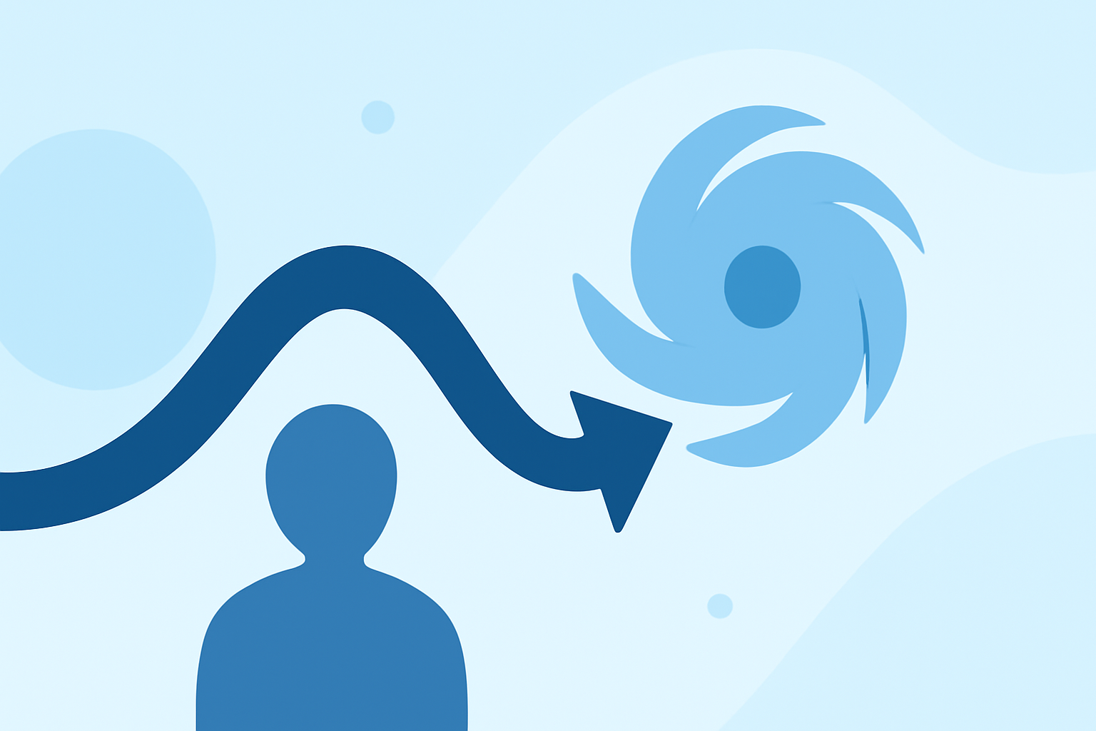
The jet stream, a narrow band of strong winds high in the atmosphere, plays a crucial role in shaping weather patterns, including hurricanes. Understanding its behavior during hurricane season is essential for accurate weather forecasting and preparedness.
What Is the Jet Stream?
The jet stream is a fast-moving air current located approximately 30,000 feet above the Earth's surface. It flows from west to east and serves as a boundary between cold polar air and warmer tropical air. Its position and strength significantly influence weather systems, including the development and trajectory of hurricanes. (nationalgeographic.com)
How Does the Jet Stream Affect Hurricanes?
The jet stream's position can steer hurricanes away from or toward land. For instance, during the summer of 2025, the jet stream shifted unusually far south, steering all hurricanes, including three Category 5 storms, away from the U.S. mainland. This unusual behavior was linked to a weakening jet stream, attributed to climate change. (space.com)
How Can Clime Help You Monitor the Jet Stream?
Clime offers advanced tools that allow you to monitor the jet stream's position and strength in real-time. By analyzing these patterns, you can gain insights into potential hurricane development and movement, enhancing your preparedness and response strategies.
Why Is Monitoring the Jet Stream Important?
Monitoring the jet stream is vital for predicting weather patterns and preparing for extreme weather events. Understanding its behavior can help in issuing timely warnings and implementing effective disaster response plans.
By leveraging Clime's advanced monitoring tools, you can stay informed about the jet stream's movements and make data-driven decisions to protect your community during hurricane season.
Highlights:
- 2025's extreme weather had the jet stream's fingerprints all over it, from flash floods to hurricanes, Published on Saturday, January 03