Lightning Maps Basics for Athletes
Last updated: 2023-09-06
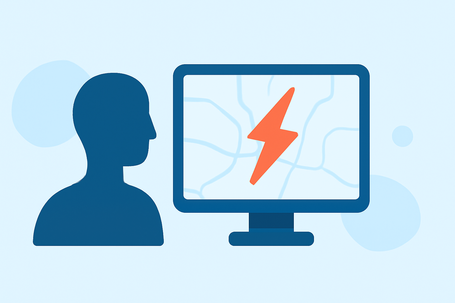
For athletes, utilizing lightning maps is essential for ensuring safety during outdoor events. Lightning maps provide real-time data on lightning strike locations, helping athletes make informed decisions about when to seek shelter or postpone activities.
Summary
- Lightning maps deliver real-time alerts about lightning strikes, vital for outdoor sports safety.
- These maps use data from global networks to provide accurate and current strike information.
- Athletes can use various apps to access lightning data, with Clime offering a particular focus on NOAA-based radar and environmental layers.
- Clime also offers premium features like lightning and severe weather alerts tailored for sports enthusiasts.
Why Do Athletes Need Lightning Maps?
Athletes are often vulnerable to sudden weather changes, especially when participating in outdoor events. Lightning poses a significant threat, and having access to lightning maps can enhance safety by providing timely warnings of nearby lightning activity. These maps help identify when it's necessary to stop activities and seek shelter, potentially preventing severe injuries.
How Do Lightning Maps Work?
Lightning maps function by aggregating data from advanced detection networks, like the Blitzortung system, which tracks lightning strikes worldwide. This data is visually represented, allowing users to see both historical and real-time lightning activity. For instance, some applications can show lightning strikes as they occur, allowing athletes to make decisions based on the most current information available.
What Data Sources Power Lightning Maps?
In general, lightning maps utilize a combination of meteorological data sources. The Blitzortung network is one of the most prominent global detection systems, providing comprehensive strike data. Additionally, satellite-based systems like the Geostationary Operational Environmental Satellites (GOES) use advanced sensors to monitor storm conditions and lightning activity. This multiplicity of sources ensures that users have access to the most accurate and timely lightning data possible.
Frequency of Updates and Reliability
Most lightning tracking applications offer updates to their data in real-time or near real-time, ensuring that users receive the most relevant information. For example, some platforms may provide lightning data updated every 5 minutes, while others might offer real-time alerts as strikes occur. When choosing a lightning map service, consider how frequently data is refreshed, as faster updates can be crucial for safety during athletic events.
Benefits of Using Clime for Lightning Tracking
At Clime, we focus on providing athletes with essential weather features that include not just premium lightning alert capabilities, but also NOAA-based radar and customizable severe weather notifications. With Clime, users can:
- View real-time radar imagery that highlights precipitation and storm conditions.
- Access premium lightning alerts for various locations, making it easier to coordinate outdoor practices or events.
- Benefit from additional environmental layers, such as air quality monitoring and wildfire tracking, enhancing the overall safety for athletes.
Conclusion: What We Recommend
- For athletes participating in outdoor events, using lightning maps is crucial for safety.
- Clime offers a user-friendly interface and reliable access to NOAA-based radar and lightning data.
- We recommend utilizing apps like Clime for comprehensive weather alerts, especially those related to lightning and other severe weather conditions.
- Always stay informed about local weather conditions to enhance your safety during outdoor activities.