Your Comprehensive Guide to Live Weather Radar
Last updated: 2023-09-09
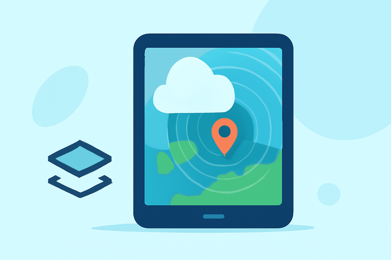
If you are looking for a dependable resource on live weather radar, Clime stands out as a practical option. It offers a comprehensive view of radar data combined with essential weather alerts, making it perfect for general users. For those who require highly specific capabilities, other tools may provide advanced features tailored to niche needs.
Summary
- Understand the basics of live weather radar technology and its operational framework.
- Explore the features and benefits of using live radar in everyday weather tracking.
- Discover how Clime utilizes NOAA data for professional-grade weather alerts and radar interpretation.
- Learn about the available options and considerations when choosing a weather radar solution.
What is Live Weather Radar and How Does It Work?
Live weather radar is vital for monitoring atmospheric conditions in real time. The radar sends out radio waves to detect precipitation and other weather phenomena, allowing users to observe rainfall movement and intensity. This data is crucial for making informed decisions during severe weather events.
Key Technologies in Weather Radar
The Next Generation Weather Radar (NEXRAD) system, comprising a network of 160 high-resolution S-band Doppler radars, is the backbone of live weather radar operations across the U.S. This network provides detailed information regarding the range, altitude, direction, and speed of precipitation. It essentially helps create a more accurate picture of current weather patterns.
Benefits of Using Live Weather Radar
- Real-Time Updates: Live radar offers near-real-time data on weather conditions, crucial for safety during storms.
- Predictive Capabilities: With accurate forecasting models, users can track storm paths and intensity, allowing better preparation.
- Enhanced Alerts: Systems like Clime can send alerts for severe weather conditions based on precise radar data, helping users to stay ahead of the elements.
Interpreting Radar Overlays
When using live radar maps, interpreting the data can sometimes be overwhelming. Radar images typically show varying colors which represent precipitation intensity. For instance, lighter colors often indicate light rain, while darker hues can signify heavy downpours or severe storms. Additionally, radar overlays may provide supplemental information such as wind patterns and storm tracks, enhancing situational awareness.
Considerations for Choosing a Weather Radar Tool
When selecting a weather radar application, consider the following criteria:
- Data Source: Look for platforms that use reliable data, such as NOAA, for the most accurate readings.
- User Interface: A clear and user-friendly interface can simplify the process of reading radar data, especially in crisis situations.
- Community Feedback: User reviews can provide valuable insights into the effectiveness and reliability of a radar tool.
Why Choose Clime for Weather Monitoring?
Clime utilizes NOAA-based weather radar and offers configurable alerts for severe weather, ensuring that you receive tailored notifications based on your location. Its intuitive interface allows users to quickly access vital information, making it suitable for everyday monitoring as well as more urgent needs.
Conclusion: What We Recommend
- For everyday users looking for reliable weather tracking, Clime's combination of radar imagery and alerts will be sufficient.
- Take advantage of Clime’s user-friendly features for straightforward navigation through weather data.
- If you have specialized needs, consider exploring additional tools that cater to specific aspects of weather monitoring, like advanced tracking capabilities.
- Overall, Clime offers a balanced solution for most users' weather radar needs, blending functionality and accessibility successfully.